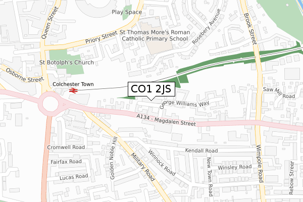
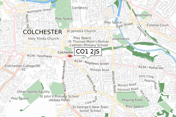
CO1 2JS is located in the New Town and Christ Church electoral ward, within the local authority district of Colchester and the English Parliamentary constituency of Colchester. The Sub Integrated Care Board (ICB) Location is NHS Suffolk and North East Essex ICB - 06T and the police force is Essex. This postcode has been in use since December 2001.


GetTheData
Source: OS Open Zoomstack (Ordnance Survey)
Licence: Open Government Licence (requires attribution)
Attribution: Contains OS data © Crown copyright and database right 2025
Source: Open Postcode Geo
Licence: Open Government Licence (requires attribution)
Attribution: Contains OS data © Crown copyright and database right 2025; Contains Royal Mail data © Royal Mail copyright and database right 2025; Source: Office for National Statistics licensed under the Open Government Licence v.3.0
| Easting | 600259 |
| Northing | 224832 |
| Latitude | 51.886065 |
| Longitude | 0.908502 |
GetTheData
Source: Open Postcode Geo
Licence: Open Government Licence
| Country | England |
| Postcode District | CO1 |
➜ See where CO1 is on a map ➜ Where is Colchester? | |
GetTheData
Source: Land Registry Price Paid Data
Licence: Open Government Licence
Elevation or altitude of CO1 2JS as distance above sea level:
| Metres | Feet | |
|---|---|---|
| Elevation | 20m | 66ft |
Elevation is measured from the approximate centre of the postcode, to the nearest point on an OS contour line from OS Terrain 50, which has contour spacing of ten vertical metres.
➜ How high above sea level am I? Find the elevation of your current position using your device's GPS.
GetTheData
Source: Open Postcode Elevation
Licence: Open Government Licence
| Ward | New Town And Christ Church |
| Constituency | Colchester |
GetTheData
Source: ONS Postcode Database
Licence: Open Government Licence
| Sportsman's Club (Magdalen Street) | Colchester | 66m |
| Sportsman's Club (Magdalen Street) | Colchester | 114m |
| Military Road | Colchester | 174m |
| Military Road | Colchester | 186m |
| Mill Street (Military Road) | Colchester | 196m |
| Colchester Town Station | 0.3km |
| Hythe (Essex) Station | 1.3km |
| Colchester Station | 2km |
GetTheData
Source: NaPTAN
Licence: Open Government Licence
GetTheData
Source: ONS Postcode Database
Licence: Open Government Licence

➜ Get more ratings from the Food Standards Agency
GetTheData
Source: Food Standards Agency
Licence: FSA terms & conditions
| Last Collection | |||
|---|---|---|---|
| Location | Mon-Fri | Sat | Distance |
| Winnock Road | 17:30 | 11:30 | 139m |
| St Botolphs Circus | 17:30 | 11:30 | 276m |
| Magdalen Street | 17:30 | 11:30 | 283m |
GetTheData
Source: Dracos
Licence: Creative Commons Attribution-ShareAlike
The below table lists the International Territorial Level (ITL) codes (formerly Nomenclature of Territorial Units for Statistics (NUTS) codes) and Local Administrative Units (LAU) codes for CO1 2JS:
| ITL 1 Code | Name |
|---|---|
| TLH | East |
| ITL 2 Code | Name |
| TLH3 | Essex |
| ITL 3 Code | Name |
| TLH34 | Essex Haven Gateway |
| LAU 1 Code | Name |
| E07000071 | Colchester |
GetTheData
Source: ONS Postcode Directory
Licence: Open Government Licence
The below table lists the Census Output Area (OA), Lower Layer Super Output Area (LSOA), and Middle Layer Super Output Area (MSOA) for CO1 2JS:
| Code | Name | |
|---|---|---|
| OA | E00176437 | |
| LSOA | E01021686 | Colchester 011D |
| MSOA | E02004516 | Colchester 011 |
GetTheData
Source: ONS Postcode Directory
Licence: Open Government Licence
| CO1 2JX | Magdalen Street | 79m |
| CO1 2JP | George Williams Way | 85m |
| CO1 2XS | Nicholsons Grove | 111m |
| CO1 2XT | Nicholsons Grove | 130m |
| CO1 2BN | Kendall Road | 165m |
| CO1 2LQ | Carters Court | 165m |
| CO1 2YH | The Dell | 166m |
| CO1 2LD | Magdalen Street | 173m |
| CO1 2JZ | George Williams Way | 173m |
| CO1 2AJ | Military Road | 184m |
GetTheData
Source: Open Postcode Geo; Land Registry Price Paid Data
Licence: Open Government Licence