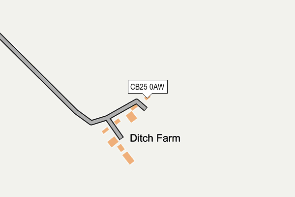
CB25 0AW is located in the Burwell electoral ward, within the local authority district of East Cambridgeshire and the English Parliamentary constituency of South East Cambridgeshire. The Sub Integrated Care Board (ICB) Location is NHS Cambridgeshire and Peterborough ICB - 06H and the police force is Cambridgeshire. This postcode has been in use since September 2006.


GetTheData
Source: OS OpenMap – Local (Ordnance Survey)
Source: OS VectorMap District (Ordnance Survey)
Licence: Open Government Licence (requires attribution)
| Easting | 558812 |
| Northing | 264428 |
| Latitude | 52.255119 |
| Longitude | 0.325287 |
GetTheData
Source: Open Postcode Geo
Licence: Open Government Licence
| Country | England |
| Postcode District | CB25 |
➜ See where CB25 is on a map | |
GetTheData
Source: Land Registry Price Paid Data
Licence: Open Government Licence
Elevation or altitude of CB25 0AW as distance above sea level:
| Metres | Feet | |
|---|---|---|
| Elevation | 20m | 66ft |
Elevation is measured from the approximate centre of the postcode, to the nearest point on an OS contour line from OS Terrain 50, which has contour spacing of ten vertical metres.
➜ How high above sea level am I? Find the elevation of your current position using your device's GPS.
GetTheData
Source: Open Postcode Elevation
Licence: Open Government Licence
| Ward | Burwell |
| Constituency | South East Cambridgeshire |
GetTheData
Source: ONS Postcode Database
Licence: Open Government Licence
| Swaffham Road | Burwell | 1,059m |
| Swaffham Road | Burwell | 1,069m |
| Rogers Road (Burwell Road) | Swaffham Prior | 1,268m |
| Rogers Road (Burwell Road) | Swaffham Prior | 1,269m |
| Mandeville (High Street) | Burwell | 1,422m |
GetTheData
Source: NaPTAN
Licence: Open Government Licence
GetTheData
Source: ONS Postcode Database
Licence: Open Government Licence


➜ Get more ratings from the Food Standards Agency
GetTheData
Source: Food Standards Agency
Licence: FSA terms & conditions
| Last Collection | |||
|---|---|---|---|
| Location | Mon-Fri | Sat | Distance |
| Swaffham Road | 17:00 | 10:30 | 1,446m |
| Burwell Road | 17:15 | 10:30 | 1,536m |
| Lower End | 17:15 | 10:30 | 1,611m |
GetTheData
Source: Dracos
Licence: Creative Commons Attribution-ShareAlike
The below table lists the International Territorial Level (ITL) codes (formerly Nomenclature of Territorial Units for Statistics (NUTS) codes) and Local Administrative Units (LAU) codes for CB25 0AW:
| ITL 1 Code | Name |
|---|---|
| TLH | East |
| ITL 2 Code | Name |
| TLH1 | East Anglia |
| ITL 3 Code | Name |
| TLH12 | Cambridgeshire CC |
| LAU 1 Code | Name |
| E07000009 | East Cambridgeshire |
GetTheData
Source: ONS Postcode Directory
Licence: Open Government Licence
The below table lists the Census Output Area (OA), Lower Layer Super Output Area (LSOA), and Middle Layer Super Output Area (MSOA) for CB25 0AW:
| Code | Name | |
|---|---|---|
| OA | E00090869 | |
| LSOA | E01018013 | East Cambridgeshire 008A |
| MSOA | E02003739 | East Cambridgeshire 008 |
GetTheData
Source: ONS Postcode Directory
Licence: Open Government Licence
| CB25 0AN | Swaffham Road | 1123m |
| CB25 0AP | Heath Road | 1230m |
| CB25 0DW | Railway Close | 1269m |
| CB25 0BZ | Station Gate | 1301m |
| CB25 0BU | Reach Road | 1321m |
| CB25 0AH | Reach Road | 1344m |
| CB25 0AL | Scotred Close | 1391m |
| CB25 0FE | Cedar Gardens | 1473m |
| CB25 0AR | Tan House Lane | 1500m |
| CB25 0HX | Rogers Road | 1502m |
GetTheData
Source: Open Postcode Geo; Land Registry Price Paid Data
Licence: Open Government Licence