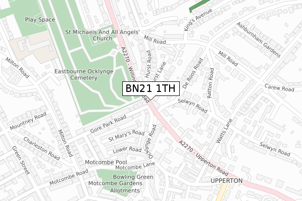
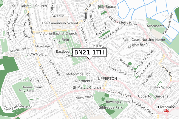
BN21 1TH is located in the Upperton electoral ward, within the local authority district of Eastbourne and the English Parliamentary constituency of Eastbourne. The Sub Integrated Care Board (ICB) Location is NHS Sussex ICB - 97R and the police force is Sussex. This postcode has been in use since January 1980.


GetTheData
Source: OS Open Zoomstack (Ordnance Survey)
Licence: Open Government Licence (requires attribution)
Attribution: Contains OS data © Crown copyright and database right 2025
Source: Open Postcode Geo
Licence: Open Government Licence (requires attribution)
Attribution: Contains OS data © Crown copyright and database right 2025; Contains Royal Mail data © Royal Mail copyright and database right 2025; Source: Office for National Statistics licensed under the Open Government Licence v.3.0
| Easting | 559891 |
| Northing | 99856 |
| Latitude | 50.776244 |
| Longitude | 0.266460 |
GetTheData
Source: Open Postcode Geo
Licence: Open Government Licence
| Country | England |
| Postcode District | BN21 |
➜ See where BN21 is on a map ➜ Where is Eastbourne? | |
GetTheData
Source: Land Registry Price Paid Data
Licence: Open Government Licence
Elevation or altitude of BN21 1TH as distance above sea level:
| Metres | Feet | |
|---|---|---|
| Elevation | 40m | 131ft |
Elevation is measured from the approximate centre of the postcode, to the nearest point on an OS contour line from OS Terrain 50, which has contour spacing of ten vertical metres.
➜ How high above sea level am I? Find the elevation of your current position using your device's GPS.
GetTheData
Source: Open Postcode Elevation
Licence: Open Government Licence
| Ward | Upperton |
| Constituency | Eastbourne |
GetTheData
Source: ONS Postcode Database
Licence: Open Government Licence
| Selwyn Road (Upperton Road) | Upperton | 86m |
| Selwyn Road (Upperton Road) | Upperton | 110m |
| Prideaux Road (Mill Road) | Upperton | 285m |
| Hurst Arms (Willingdon Road) | Upperton | 330m |
| Ashburnham Road (Mill Road) | Upperton | 336m |
| Eastbourne Station | 1.3km |
| Hampden Park (Sussex) Station | 2.4km |
| Polegate Station | 5.2km |
GetTheData
Source: NaPTAN
Licence: Open Government Licence
GetTheData
Source: ONS Postcode Database
Licence: Open Government Licence


➜ Get more ratings from the Food Standards Agency
GetTheData
Source: Food Standards Agency
Licence: FSA terms & conditions
| Last Collection | |||
|---|---|---|---|
| Location | Mon-Fri | Sat | Distance |
| Ocklynge Parade | 17:30 | 11:00 | 41m |
| Milton Road | 17:15 | 11:00 | 305m |
| High Street | 17:30 | 11:00 | 471m |
GetTheData
Source: Dracos
Licence: Creative Commons Attribution-ShareAlike
The below table lists the International Territorial Level (ITL) codes (formerly Nomenclature of Territorial Units for Statistics (NUTS) codes) and Local Administrative Units (LAU) codes for BN21 1TH:
| ITL 1 Code | Name |
|---|---|
| TLJ | South East (England) |
| ITL 2 Code | Name |
| TLJ2 | Surrey, East and West Sussex |
| ITL 3 Code | Name |
| TLJ22 | East Sussex CC |
| LAU 1 Code | Name |
| E07000061 | Eastbourne |
GetTheData
Source: ONS Postcode Directory
Licence: Open Government Licence
The below table lists the Census Output Area (OA), Lower Layer Super Output Area (LSOA), and Middle Layer Super Output Area (MSOA) for BN21 1TH:
| Code | Name | |
|---|---|---|
| OA | E00106421 | |
| LSOA | E01020963 | Eastbourne 008B |
| MSOA | E02004363 | Eastbourne 008 |
GetTheData
Source: ONS Postcode Directory
Licence: Open Government Licence
| BN21 2PX | Hurst Lane | 32m |
| BN21 2PP | Hurst Lane | 36m |
| BN21 1QB | Gore Park Avenue | 67m |
| BN21 1LU | Upperton Road | 67m |
| BN21 2QD | Ocklynge Avenue | 92m |
| BN21 2PL | Hurst Road | 118m |
| BN21 2QB | Ocklynge Avenue | 126m |
| BN21 2NR | Selwyn Road | 128m |
| BN21 2PJ | Hurst Road | 134m |
| BN21 1LR | Upperton Road | 135m |
GetTheData
Source: Open Postcode Geo; Land Registry Price Paid Data
Licence: Open Government Licence