BH21 2EE maps, stats, and open data
BH21 2EE is located in the Colehill & Wimborne Minster East electoral ward, within the unitary authority of Dorset and the English Parliamentary constituency of Christchurch. The Sub Integrated Care Board (ICB) Location is NHS Dorset ICB - 11J and the police force is Dorset. This postcode has been in use since January 1980.
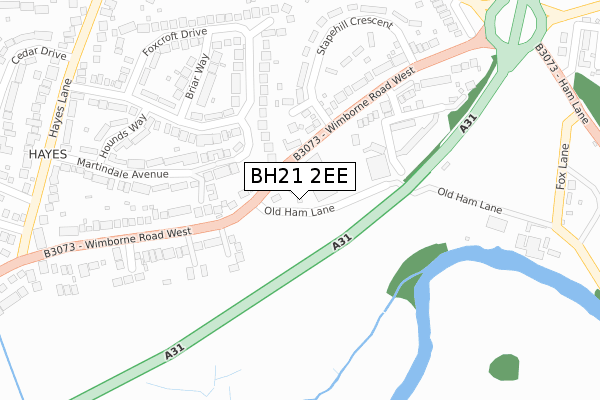
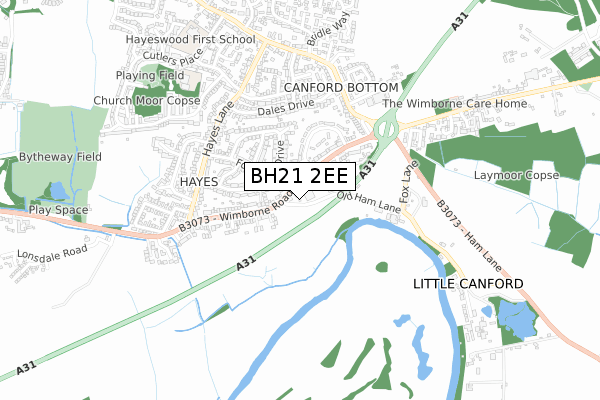
BH21 2EE maps


Licence: Open Government Licence (requires attribution)
Attribution: Contains OS data © Crown copyright and database right 2025
Source: Open Postcode Geo
Licence: Open Government Licence (requires attribution)
Attribution: Contains OS data © Crown copyright and database right 2025; Contains Royal Mail data © Royal Mail copyright and database right 2025; Source: Office for National Statistics licensed under the Open Government Licence v.3.0
BH21 2EE geodata
| Easting | 404012 |
| Northing | 100017 |
| Latitude | 50.799700 |
| Longitude | -1.944438 |
Where is BH21 2EE?
| Country | England |
| Postcode District | BH21 |
BH21 2EE Elevation
Elevation or altitude of BH21 2EE as distance above sea level:
| Metres | Feet | |
|---|---|---|
| Elevation | 20m | 66ft |
Elevation is measured from the approximate centre of the postcode, to the nearest point on an OS contour line from OS Terrain 50, which has contour spacing of ten vertical metres.
➜ How high above sea level am I? Find the elevation of your current position using your device's GPS.
Politics
| Ward | Colehill & Wimborne Minster East |
|---|---|
| Constituency | Christchurch |
Transport
Nearest bus stops to BH21 2EE
| Stapehill Crescent (Wimborne Road West) | Little Canford | 135m |
| Stapehill Crescent (Wimborne Road West) | Little Canford | 179m |
| Fernway Close (Wimborne Road West) | Hayes | 274m |
| Wimborne Road West | Hayes | 375m |
| Foxcroft Drive (Hayes Lane) | Hayes | 425m |
Broadband
Broadband access in BH21 2EE (2020 data)
| Percentage of properties with Next Generation Access | 100.0% |
| Percentage of properties with Superfast Broadband | 100.0% |
| Percentage of properties with Ultrafast Broadband | 0.0% |
| Percentage of properties with Full Fibre Broadband | 0.0% |
Superfast Broadband is between 30Mbps and 300Mbps
Ultrafast Broadband is > 300Mbps
Broadband limitations in BH21 2EE (2020 data)
| Percentage of properties unable to receive 2Mbps | 0.0% |
| Percentage of properties unable to receive 5Mbps | 0.0% |
| Percentage of properties unable to receive 10Mbps | 0.0% |
| Percentage of properties unable to receive 30Mbps | 0.0% |
Deprivation
5.1% of English postcodes are less deprived than BH21 2EE:Food Standards Agency
Three nearest food hygiene ratings to BH21 2EE (metres)


➜ Get more ratings from the Food Standards Agency
Nearest post box to BH21 2EE
| Last Collection | |||
|---|---|---|---|
| Location | Mon-Fri | Sat | Distance |
| Stapehill Crescent | 17:30 | 12:00 | 284m |
| Little Canford | 16:15 | 12:00 | 440m |
| Hayes P.o. | 17:30 | 12:00 | 460m |
BH21 2EE ITL and BH21 2EE LAU
The below table lists the International Territorial Level (ITL) codes (formerly Nomenclature of Territorial Units for Statistics (NUTS) codes) and Local Administrative Units (LAU) codes for BH21 2EE:
| ITL 1 Code | Name |
|---|---|
| TLK | South West (England) |
| ITL 2 Code | Name |
| TLK2 | Dorset and Somerset |
| ITL 3 Code | Name |
| TLK25 | Dorset |
| LAU 1 Code | Name |
| E06000059 | Dorset |
BH21 2EE census areas
The below table lists the Census Output Area (OA), Lower Layer Super Output Area (LSOA), and Middle Layer Super Output Area (MSOA) for BH21 2EE:
| Code | Name | |
|---|---|---|
| OA | E00103413 | |
| LSOA | E01020407 | East Dorset 009D |
| MSOA | E02004251 | East Dorset 009 |
Nearest postcodes to BH21 2EE
| BH21 2DS | Wimborne Road West | 34m |
| BH21 2LF | Martindale Avenue | 101m |
| BH21 2DQ | Wimborne Road West | 216m |
| BH21 2EX | Henbest Close | 225m |
| BH21 2DH | Wimborne Road West | 227m |
| BH21 2LE | Martindale Avenue | 245m |
| BH21 2ED | Stapehill Crescent | 247m |
| BH21 2JZ | Foxcroft Drive | 251m |
| BH21 2LB | Briar Way | 253m |
| BH21 2DP | Wimborne Road West | 288m |