Yelverton Driving Range (Closed) - Crapstone
Yelverton Driving Range (Closed) is located in Crapstone, Yelverton (PL20).
| Address | Crapstone, Yelverton, PL20 7UZ |
| Car Park | Yes |
| Car Park Capacity | 50 |
| Management Type | Commercial Management |
| Management Group | Commercial |
| Owner Type | Commercial |
| Owner Group | Commercial |
| Education Phase | Not Known |
| Closure Date | 1st Jan 2008 |
| Closure Reason | Unclassified |
Facilities
| Closure Date | 1st Jan 2008 |
| Closure Reason | Unclassified |
| Accessibility | Pay and Play |
| Management Type | Not Known |
| Year Built | 2000 |
| Changing Rooms | No |
| Date Record Checked | 26th Nov 2012 |
| Opening Times | Detailed Timings |
Facility specifics
Contact
Where is Yelverton Driving Range (Closed)?
| Sub Building Name | |
| Building Name | |
| Building Number | 0 |
| Dependent Thoroughfare | |
| Thoroughfare Name | |
| Double Dependent Locality | |
| Dependent Locality | Crapstone |
| PostTown | Yelverton |
| Postcode | PL20 7UZ |
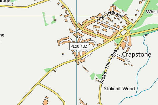
Yelverton Driving Range (Closed) on a map

Yelverton Driving Range (Closed) geodata
| Easting | 250070.1 |
| Northing | 67511 |
| Latitude | 50.488175 |
| Longitude | -4.114897 |
| Local Authority Name | West Devon |
| Local Authority Code | E07000047 |
| Parliamentary Constituency Name | Torridge and West Devon |
| Parliamentary Constituency Code | E14001000 |
| Region Name | South West |
| Region Code | E15000009 |
| Ward Name | Buckland Monachorum |
| Ward Code | E05010552 |
| Output Area Code | E00102915 |
About this data
This data is open data sourced from Active Places Power and licenced under the Active Places Open Data Licence.
| Created On | 26th Apr 2004 |
| Audited On | 26th Jan 2015 |
| Checked On | 26th Nov 2012 |
