Wing Playing Fields
Wing Playing Fields is located in Wing (LE15).
| Address | PLAYGROUND, Morcott Road, Wing, LE15 8SA |
| Management Type | Local Authority (in house) |
| Management Group | Local Authority |
| Owner Type | Local Authority |
| Owner Group | Local Authority |
| Education Phase | Not applicable |
Facilities
| Accessibility | Free Public Access |
| Management Type | Local Authority (in house) |
| Changing Rooms | No |
| Date Record Created | 3rd Feb 2017 |
| Date Record Checked | 21st Feb 2023 |
| Opening Times | Dawn To Dusk |
Facility specifics
Contact
Where is Wing Playing Fields?
| Sub Building Name | |
| Building Name | PLAYGROUND |
| Building Number | 0 |
| Dependent Thoroughfare | |
| Thoroughfare Name | MORCOTT ROAD |
| Double Dependent Locality | |
| Dependent Locality | |
| PostTown | WING |
| Postcode | LE15 8SA |
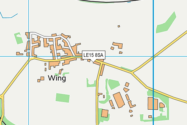
Wing Playing Fields on a map

Wing Playing Fields geodata
| Easting | 489513.54 |
| Northing | 302923.85 |
| Latitude | 52.616718 |
| Longitude | -0.679295 |
| Local Authority Name | Rutland |
| Local Authority Code | E06000017 |
| Parliamentary Constituency Name | Rutland and Melton |
| Parliamentary Constituency Code | E14000909 |
| Region Name | East Midlands |
| Region Code | E15000004 |
| Ward Name | Braunston & Martinsthorpe |
| Ward Code | E05012633 |
| Output Area Code | E00069590 |
About this data
This data is open data sourced from Active Places Power and licenced under the Active Places Open Data Licence.
| toid | osgb1000000096549976 |
| Created On | 3rd Feb 2017 |
| Audited On | 21st Feb 2023 |
| Checked On | 21st Feb 2023 |
