Wharncliffe Woods (Closed) - Grenoside
Wharncliffe Woods (Closed) is located in Grenoside, Sheffield (S35).
| Address | GRENO WOOD, Woodhead Road, Grenoside, Sheffield, S35 8RS |
| Car Park | Yes |
| Car Park Capacity | 100 |
| Management Type | Other |
| Management Group | Others |
| Owner Type | Other |
| Owner Group | Others |
| Education Phase | Not applicable |
| Closure Date | 16th Nov 2018 |
| Closure Reason | Strategic Review - facility/site not being replaced |
Facilities
| Closure Date | 16th Nov 2018 |
| Closure Reason | Strategic Review - facility/site not being replaced |
| Accessibility | Free Public Access |
| Management Type | Other |
| Year Built | 1999 |
| Changing Rooms | No |
| Date Record Created | 27th Feb 2017 |
| Date Record Checked | 14th Mar 2019 |
| Opening Times | Dawn To Dusk |
Facility specifics
| Bike Wash | No |
| Black Trails | Yes |
| Blue Trails | No |
| Extreme Trails | No |
| Green Trails | No |
| Length of Black Trails | 1700m |
| Length of Red Trails | 3600m |
| Overall Width | 3m |
| Red Trails | Yes |
| Surface | Various |
| Total Length | 5300m |
Disabled access
| Disabled Access | Yes |
| Disabled Parking | Yes |
| Finding/Reaching Entrance | Yes |
| Disabled Toilets | Yes |
| Emergency Exits | Yes |
Contact
Disabled access
Disabled access for Wharncliffe Woods (Closed)
| Disabled Access | Yes |
| Disabled Parking | Yes |
| Finding/Reaching Entrance | Yes |
| Disabled Toilets | Yes |
| Emergency Exits | Yes |
Where is Wharncliffe Woods (Closed)?
| Sub Building Name | |
| Building Name | GRENO WOOD |
| Building Number | 0 |
| Dependent Thoroughfare | |
| Thoroughfare Name | WOODHEAD ROAD |
| Double Dependent Locality | |
| Dependent Locality | GRENOSIDE |
| PostTown | SHEFFIELD |
| Postcode | S35 8RS |
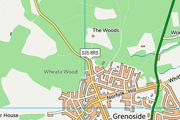
Wharncliffe Woods (Closed) on a map

Wharncliffe Woods (Closed) geodata
| Easting | 433288 |
| Northing | 394869 |
| Latitude | 53.449538 |
| Longitude | -1.50024 |
| Local Authority Name | Sheffield |
| Local Authority Code | E08000019 |
| Parliamentary Constituency Name | Penistone and Stocksbridge |
| Parliamentary Constituency Code | E14000876 |
| Region Name | Yorkshire and the Humber |
| Region Code | E15000003 |
| Ward Name | West Ecclesfield |
| Ward Code | E05010883 |
| Output Area Code | E00041222 |
About this data
This data is open data sourced from Active Places Power and licenced under the Active Places Open Data Licence.
| toid | osgb1000000106655365 |
| Created On | 27th Feb 2017 |
| Audited On | 27th Feb 2018 |
| Checked On | 8th Feb 2019 |
