St Anselms College Playing Fields - Noctorum
St Anselms College Playing Fields is located in Noctorum, Prenton (CH43), and offers Grass Pitches.
| Address | Beryl Road, Noctorum, Prenton, CH43 9XZ |
| Car Park | Yes |
| Car Park Capacity | 20 |
| Management Type | School/College/University (in house) |
| Management Group | Education |
| Owner Type | Voluntary Aided School |
| Owner Group | Education |
| Education Phase | Secondary |
Facilities
| Accessibility | Sports Club / Community Association |
| Management Type | School/College/University (in house) |
| Changing Rooms | Yes |
| Date Record Checked | 24th Jan 2023 |
Opening times
| Access description | Sports Club / Community Association |
|---|
| Opening time | 09:00 |
| Closing time | 17:00 |
| Period open for | Weekend |
| |
| Access description | Private Use |
|---|
| Opening time | 09:00 |
| Closing time | 17:00 |
| Period open for | Monday-Friday |
Facility specifics
| Accessibility | Sports Club / Community Association |
| Management Type | School/College/University (in house) |
| Changing Rooms | Yes |
| Date Record Checked | 24th Jan 2023 |
Opening times
| Access description | Private Use |
|---|
| Opening time | 09:00 |
| Closing time | 17:00 |
| Period open for | Monday-Friday |
| |
| Access description | Sports Club / Community Association |
|---|
| Opening time | 09:00 |
| Closing time | 17:00 |
| Period open for | Weekend |
Facility specifics
Contact
Where is St Anselms College Playing Fields?
| Sub Building Name | |
| Building Name | |
| Building Number | 0 |
| Dependent Thoroughfare | |
| Thoroughfare Name | Beryl Road |
| Double Dependent Locality | |
| Dependent Locality | Noctorum |
| PostTown | Prenton |
| Postcode | CH43 9XZ |
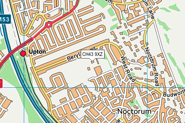
St Anselms College Playing Fields on a map

St Anselms College Playing Fields geodata
| Easting | 328528 |
| Northing | 388145 |
| Latitude | 53.385292 |
| Longitude | -3.076033 |
| Local Authority Name | Wirral |
| Local Authority Code | E08000015 |
| Parliamentary Constituency Name | Birkenhead |
| Parliamentary Constituency Code | E14000559 |
| Region Name | North West |
| Region Code | E15000002 |
| Ward Name | Claughton |
| Ward Code | E05000959 |
| Output Area Code | E00036268 |
About this data
This data is open data sourced from Active Places Power and licenced under the Active Places Open Data Licence.
| Created On | 23rd Oct 2009 |
| Audited On | 24th Jan 2023 |
| Checked On | 24th Jan 2023 |
