Queensway (Closed) - Rugeley
Queensway (Closed) is located in Rugeley (WS15).
| Address | Rugeley, WS15 1NN |
| Management Type | Local Authority (in house) |
| Management Group | Local Authority |
| Owner Type | Local Authority |
| Owner Group | Local Authority |
| Education Phase | Not Known |
| Closure Date | 1st Jan 2007 |
| Closure Reason | Unclassified |
Facilities
| Closure Date | 1st Jan 2007 |
| Closure Reason | Unclassified |
| Accessibility | Pay and Play |
| Management Type | Not Known |
| Date Record Checked | 21st May 2009 |
| Opening Times | Detailed Timings |
Facility specifics
Contact
Where is Queensway (Closed)?
| Sub Building Name | |
| Building Name | |
| Building Number | 0 |
| Dependent Thoroughfare | |
| Thoroughfare Name | |
| Double Dependent Locality | |
| Dependent Locality | |
| PostTown | Rugeley |
| Postcode | WS15 1NN |
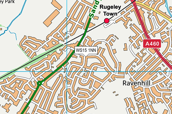
Queensway (Closed) on a map

Queensway (Closed) geodata
| Easting | 404500 |
| Northing | 316900 |
| Latitude | 52.7497 |
| Longitude | -1.934772 |
| Local Authority Name | Cannock Chase |
| Local Authority Code | E07000192 |
| Parliamentary Constituency Name | Cannock Chase |
| Parliamentary Constituency Code | E14000618 |
| Region Name | West Midlands |
| Region Code | E15000005 |
| Ward Name | Brereton and Ravenhill |
| Ward Code | E05006902 |
| Output Area Code | E00149543 |
About this data
This data is open data sourced from Active Places Power and licenced under the Active Places Open Data Licence.
| Created On | 28th Sep 2005 |
| Audited On | 26th Jan 2015 |
| Checked On | 21st May 2009 |
