Pytchley Village Playing Field
Pytchley Village Playing Field is located in Pytchley (NN14).
| Address | THE VILLAGE HALL, Church Road, Pytchley, NN14 1EL |
| Car Park | Yes |
| Car Park Capacity | 20 |
| Management Type | Local Authority (in house) |
| Management Group | Local Authority |
| Owner Type | Local Authority |
| Owner Group | Local Authority |
| Education Phase | Not applicable |
Facilities
| Accessibility | Pay and Play |
| Management Type | Local Authority (in house) |
| Changing Rooms | No |
| Date Record Checked | 23rd Jan 2023 |
| Opening Times | Dawn To Dusk |
Facility specifics
Disabled access
| Disabled Access | Yes |
| Activity Areas | Yes |
Contact
Disabled access
Disabled access for Pytchley Village Playing Field
| Disabled Access | Yes |
| Activity Areas | Yes |
Where is Pytchley Village Playing Field?
| Sub Building Name | |
| Building Name | THE VILLAGE HALL |
| Building Number | 0 |
| Dependent Thoroughfare | |
| Thoroughfare Name | CHURCH ROAD |
| Double Dependent Locality | |
| Dependent Locality | |
| PostTown | PYTCHLEY |
| Postcode | NN14 1EL |
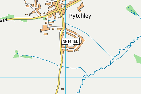
Pytchley Village Playing Field on a map

Pytchley Village Playing Field geodata
| Easting | 486018 |
| Northing | 274356 |
| Latitude | 52.360522 |
| Longitude | -0.73828 |
| Local Authority Name | North Northamptonshire |
| Local Authority Code | E06000061 |
| Parliamentary Constituency Name | Kettering |
| Parliamentary Constituency Code | E14000769 |
| Region Name | East Midlands |
| Region Code | E15000004 |
| Ward Name | Burton and Broughton |
| Ward Code | E05013214 |
| Output Area Code | E00137957 |
About this data
This data is open data sourced from Active Places Power and licenced under the Active Places Open Data Licence.
| toid | osgb1000018294769 |
| Created On | 28th Sep 2005 |
| Audited On | 23rd Jan 2023 |
| Checked On | 23rd Jan 2023 |
