Parsonage Farm School - Rainham
Parsonage Farm School is located in Rainham (RM13), and offers Grass Pitches.
| Address | Farm Road, Rainham, RM13 9JU |
| Management Type | School/College/University (in house) |
| Management Group | Education |
| Owner Type | Community school |
| Owner Group | Education |
| Education Phase | Primary |
Facilities
| Status Notes | Also has an Artificial Grass Wicket |
| Accessibility | Private Use |
| Management Type | School/College/University (in house) |
| Changing Rooms | No |
| Date Record Created | 16th Jan 2017 |
| Date Record Checked | 21st Jun 2023 |
Opening times
| Access description | Private Use |
|---|
| Opening time | 08:00 |
| Closing time | 17:00 |
| Period open for | Monday-Friday |
Facility specifics
Disabled access
| Disabled Access | Yes |
| Finding/Reaching Entrance | Yes |
| Emergency Exits | Yes |
| Accessibility | Private Use |
| Management Type | School/College/University (in house) |
| Changing Rooms | Yes |
| Date Record Created | 23rd Feb 2021 |
| Date Record Checked | 21st Jun 2023 |
Opening times
| Access description | Private Use |
|---|
| Opening time | 08:00 |
| Closing time | 17:00 |
| Period open for | Monday-Friday |
Facility specifics
Disabled access
| Disabled Access | Yes |
| Finding/Reaching Entrance | Yes |
| Emergency Exits | Yes |
Contact
Disabled access
Disabled access for Parsonage Farm School
| Disabled Access | Yes |
| Finding/Reaching Entrance | Yes |
| Emergency Exits | Yes |
Where is Parsonage Farm School?
| Sub Building Name | |
| Building Name | |
| Building Number | 0 |
| Dependent Thoroughfare | |
| Thoroughfare Name | FARM ROAD |
| Double Dependent Locality | |
| Dependent Locality | |
| PostTown | RAINHAM |
| Postcode | RM13 9JU |
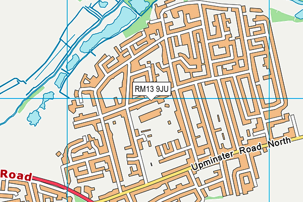
Parsonage Farm School on a map

Parsonage Farm School geodata
| Easting | 553380.13 |
| Northing | 182906.39 |
| Latitude | 51.524248 |
| Longitude | 0.209521 |
| Local Authority Name | Havering |
| Local Authority Code | E09000016 |
| Parliamentary Constituency Name | Dagenham and Rainham |
| Parliamentary Constituency Code | E14000657 |
| Region Name | London |
| Region Code | E15000007 |
| Ward Name | Rainham & Wennington |
| Ward Code | E05013979 |
| Output Area Code | E00011707 |
About this data
This data is open data sourced from Active Places Power and licenced under the Active Places Open Data Licence.
| toid | osgb1000000388716 |
| Created On | 16th Jan 2017 |
| Audited On | 21st Jun 2023 |
| Checked On | 21st Jun 2023 |
