Parkway Playing Fields (Closed) - Manchester
Parkway Playing Fields (Closed) is located in Manchester (M21).
| Address | Rylstone Avenue, Manchester, M21 7PS |
| Car Park | Yes |
| Car Park Capacity | 25 |
| Management Type | Local Authority (in house) |
| Management Group | Local Authority |
| Owner Type | Local Authority |
| Owner Group | Local Authority |
| Education Phase | Not Known |
| Closure Date | 1st Jul 2007 |
| Closure Reason | Unclassified |
Facilities
| Closure Date | 1st Jul 2007 |
| Closure Reason | Unclassified |
| Accessibility | Pay and Play |
| Management Type | Not Known |
| Changing Rooms | Yes |
| Date Record Checked | 26th Nov 2012 |
| Opening Times | Detailed Timings |
Facility specifics
Contact
Where is Parkway Playing Fields (Closed)?
| Sub Building Name | |
| Building Name | |
| Building Number | 0 |
| Dependent Thoroughfare | |
| Thoroughfare Name | Rylstone Avenue |
| Double Dependent Locality | |
| Dependent Locality | |
| PostTown | Manchester |
| Postcode | M21 7PS |
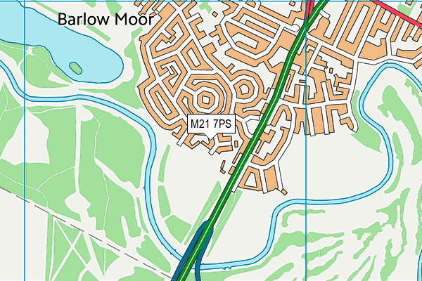
Parkway Playing Fields (Closed) on a map

Parkway Playing Fields (Closed) geodata
| Easting | 382620 |
| Northing | 391418 |
| Latitude | 53.419273 |
| Longitude | -2.262975 |
| Local Authority Name | Manchester |
| Local Authority Code | E08000003 |
| Parliamentary Constituency Name | Manchester, Withington |
| Parliamentary Constituency Code | E14000809 |
| Region Name | North West |
| Region Code | E15000002 |
| Ward Name | Chorlton Park |
| Ward Code | E05011358 |
| Output Area Code | E00025718 |
About this data
This data is open data sourced from Active Places Power and licenced under the Active Places Open Data Licence.
| Created On | 26th Oct 2007 |
| Audited On | 26th Jan 2015 |
| Checked On | 26th Nov 2012 |
