Meole Brace Church Of England Primary School
Meole Brace Church Of England Primary School is located in Meole Brace, Shrewsbury (SY3), and offers Grass Pitches.
| Address | Church Road, Meole Brace, Shrewsbury, SY3 9HG |
| Car Park | Yes |
| Car Park Capacity | 30 |
| Management Type | School/College/University (in house) |
| Management Group | Education |
| Owner Type | Community school |
| Owner Group | Education |
| Education Phase | Primary |
Facilities
| Accessibility | Private Use |
| Management Type | School/College/University (in house) |
| Changing Rooms | No |
| Date Record Created | 20th Feb 2017 |
| Date Record Checked | 14th Sep 2023 |
| Opening Times | Dawn To Dusk |
Facility specifics
Disabled access
| Disabled Access | Yes |
| Disabled Parking | Yes |
| Finding/Reaching Entrance | Yes |
| Reception Area | Yes |
| Doorways | Yes |
| Emergency Exits | Yes |
Contact
Disabled access
Disabled access for Meole Brace Church Of England Primary School
| Disabled Access | Yes |
| Disabled Parking | Yes |
| Finding/Reaching Entrance | Yes |
| Reception Area | Yes |
| Doorways | Yes |
| Emergency Exits | Yes |
Where is Meole Brace Church Of England Primary School?
| Sub Building Name | |
| Building Name | |
| Building Number | 0 |
| Dependent Thoroughfare | |
| Thoroughfare Name | CHURCH ROAD |
| Double Dependent Locality | |
| Dependent Locality | MEOLE BRACE |
| PostTown | SHREWSBURY |
| Postcode | SY3 9HG |
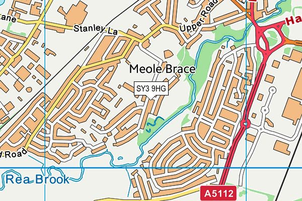
Meole Brace Church Of England Primary School on a map

Meole Brace Church Of England Primary School geodata
| Easting | 348460 |
| Northing | 310382 |
| Latitude | 52.688661 |
| Longitude | -2.763935 |
| Local Authority Name | Shropshire |
| Local Authority Code | E06000051 |
| Parliamentary Constituency Name | Shrewsbury and Atcham |
| Parliamentary Constituency Code | E14000926 |
| Region Name | West Midlands |
| Region Code | E15000005 |
| Ward Name | Meole |
| Ward Code | E05008171 |
| Output Area Code | E00147484 |
About this data
This data is open data sourced from Active Places Power and licenced under the Active Places Open Data Licence.
| toid | osgb1000035521243 |
| Created On | 20th Feb 2017 |
| Audited On | 14th Sep 2023 |
| Checked On | 14th Sep 2023 |
