Kent Street Muga - Grimsby
Kent Street Muga is located in Grimsby (DN32), and offers Artificial Grass Pitch.
| Address | Kent Street, Grimsby, DN32 7DH |
| Car Park | Yes |
| Car Park Capacity | 25 |
| Management Type | Local Authority (in house) |
| Management Group | Local Authority |
| Owner Type | Local Authority |
| Owner Group | Local Authority |
| Education Phase | Not applicable |
Aliases
Kent Street Muga is also known as:
- Freeman Street Resource Centre
- Val Waterhouse Centre
Facilities
| Accessibility | Sports Club / Community Association |
| Management Type | Local Authority (in house) |
| Year Built | 2000 |
| Changing Rooms | No |
| Date Record Created | 24th Aug 2018 |
| Date Record Checked | 28th Nov 2022 |
Opening times
| Access description | Sports Club / Community Association |
|---|
| Opening time | 09:00 |
| Closing time | 17:00 |
| Period open for | Monday-Friday |
Facility specifics
| Area | 612m² |
| Floodlit | Yes |
| Indoor | No |
| Length | 34m |
| Width | 18m |
| WR22 Compliant Pitch | No |
Disabled access
| Disabled Access | Yes |
| Disabled Parking | Yes |
| Activity Areas | Yes |
| Disabled Toilets | Yes |
Contact
Disabled access
Disabled access for Kent Street Muga
| Disabled Access | Yes |
| Disabled Parking | Yes |
| Activity Areas | Yes |
| Disabled Toilets | Yes |
Where is Kent Street Muga?
| Sub Building Name | |
| Building Name | |
| Building Number | 0 |
| Dependent Thoroughfare | |
| Thoroughfare Name | KENT STREET |
| Double Dependent Locality | |
| Dependent Locality | |
| PostTown | GRIMSBY |
| Postcode | DN32 7DH |
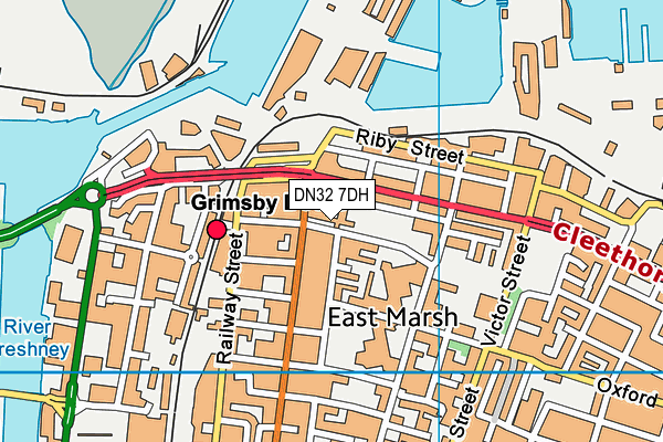
Kent Street Muga on a map

Kent Street Muga geodata
| Easting | 527776.32 |
| Northing | 410340.26 |
| Latitude | 53.574107 |
| Longitude | -0.071755 |
| Local Authority Name | North East Lincolnshire |
| Local Authority Code | E06000012 |
| Parliamentary Constituency Name | Great Grimsby |
| Parliamentary Constituency Code | E14000716 |
| Region Name | Yorkshire and the Humber |
| Region Code | E15000003 |
| Ward Name | East Marsh |
| Ward Code | E05001714 |
| Output Area Code | E00066328 |
About this data
This data is open data sourced from Active Places Power and licenced under the Active Places Open Data Licence.
| toid | osgb1000042540746 |
| Created On | 24th Aug 2018 |
| Audited On | 28th Nov 2022 |
| Checked On | 2nd Jun 2023 |
