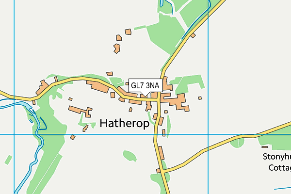
Hatherop Playing Field
Hatherop Playing Field is located in Hatherop (GL7), and offers Grass Pitches.
| Address | HATHEROP FOOTBALL CLUB PLAYING FIELD, Road From Hatherop Road To Southeast Of Walled House Hatherop, Hatherop, GL7 3NA |
| Management Type | Sport Club |
| Management Group | Others |
| Owner Type | Community Organisation |
| Owner Group | Community Organisation |
| Education Phase | Not applicable |
Facilities
| Accessibility | Sports Club / Community Association |
| Management Type | Sport Club |
| Changing Rooms | Yes |
| Date Record Checked | 15th Aug 2023 |
| Opening Times | Dawn To Dusk |
Facility specifics
Disabled access
| Disabled Access | Yes |
| Activity Areas | Yes |
Contact
Disabled access
Disabled access for Hatherop Playing Field
| Disabled Access | Yes |
| Activity Areas | Yes |
| Notes | No provision has been made specifically for the disabled, however the gates are wide and a path will allow wheelchair access to the pitch |
Where is Hatherop Playing Field?
| Sub Building Name | |
| Building Name | HATHEROP FOOTBALL CLUB PLAYING FIELD |
| Building Number | 0 |
| Dependent Thoroughfare | |
| Thoroughfare Name | ROAD FROM HATHEROP ROAD TO SOUTHEAST OF WALLED HOUSE HATHEROP |
| Double Dependent Locality | |
| Dependent Locality | |
| PostTown | HATHEROP |
| Postcode | GL7 3NA |
Hatherop Playing Field on a map

Hatherop Playing Field geodata
| Easting | 415506 |
| Northing | 205062 |
| Latitude | 51.744047 |
| Longitude | -1.776817 |
| Local Authority Name | Cotswold |
| Local Authority Code | E07000079 |
| Parliamentary Constituency Name | The Cotswolds |
| Parliamentary Constituency Code | E14000991 |
| Region Name | South West |
| Region Code | E15000009 |
| Ward Name | Coln Valley |
| Ward Code | E05010703 |
| Output Area Code | E00112848 |
About this data
This data is open data sourced from Active Places Power and licenced under the Active Places Open Data Licence.
| toid | osgb1000000135867025 |
| Created On | 18th May 2007 |
| Audited On | 15th Aug 2023 |
| Checked On | 15th Aug 2023 |
