Harpsden Football Ground
Harpsden Football Ground is located in Harpsden, Henley-on-thames (RG9), and offers Grass Pitches.
| Address | FAIRWAY VIEW, Harpsden, Henley-on-thames, RG9 4HL |
| Car Park | Yes |
| Car Park Capacity | 20 |
| Management Type | Trust |
| Management Group | Trust |
| Owner Type | Other |
| Owner Group | Others |
| Education Phase | 16 plus |
| Start Date | 3rd Mar 2021 |
Facilities
| Accessibility | Sports Club / Community Association |
| Management Type | Trust |
| Changing Rooms | Yes |
| Year Changing Rooms Refurbished | 2015 |
| Date Record Checked | 22nd Nov 2022 |
| Opening Times | Dawn To Dusk |
Facility specifics
Disabled access
| Disabled Access | Yes |
| Doorways | Yes |
| Disabled Changing Facilities | Yes |
| Notes | Wheelchair access is enabled to our changing room facilities and toilets. Access is only likely to be required if the toilets are needed. |
Contact
Disabled access
Disabled access for Harpsden Football Ground
| Disabled Access | Yes |
| Doorways | Yes |
| Disabled Changing Facilities | Yes |
| Notes | Wheelchair access is enabled to our changing room facilities and toilets. Access is only likely to be required if the toilets are needed. |
Where is Harpsden Football Ground?
| Sub Building Name | |
| Building Name | FAIRWAY VIEW |
| Building Number | 0 |
| Dependent Thoroughfare | |
| Thoroughfare Name | |
| Double Dependent Locality | |
| Dependent Locality | HARPSDEN |
| PostTown | HENLEY-ON-THAMES |
| Postcode | RG9 4HL |
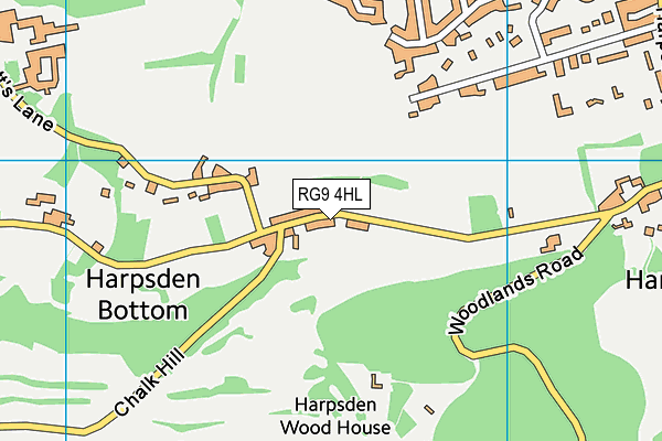
Harpsden Football Ground on a map

Harpsden Football Ground geodata
| Easting | 475774.39 |
| Northing | 180881.64 |
| Latitude | 51.521779 |
| Longitude | -0.90924 |
| Local Authority Name | South Oxfordshire |
| Local Authority Code | E07000179 |
| Parliamentary Constituency Name | Henley |
| Parliamentary Constituency Code | E14000742 |
| Region Name | South East |
| Region Code | E15000008 |
| Ward Name | Sonning Common |
| Ward Code | E05012854 |
| Output Area Code | E00145979 |
About this data
This data is open data sourced from Active Places Power and licenced under the Active Places Open Data Licence.
| Created On | 23rd Oct 2009 |
| Audited On | 22nd Nov 2022 |
| Checked On | 22nd Nov 2022 |
