G L Cullington Fields - Tickton
G L Cullington Fields is located in Tickton, Beverley (HU17), and offers Outdoor Tennis Courts, and Grass Pitches.
| Address | St. Pauls Way, Tickton, Beverley, HU17 9RW |
| Car Park | Yes |
| Car Park Capacity | 18 |
| Management Type | Local Authority (in house) |
| Management Group | Local Authority |
| Owner Type | Local Authority |
| Owner Group | Local Authority |
| Education Phase | Not applicable |
Facilities
| Status Notes | Tennis courts were resurfaced and converted into a MUGA in late 2017. Site also has another single-court MUGA |
| Accessibility | Free Public Access |
| Management Type | Local Authority (in house) |
| Year Built | 2000 |
| Year Refurbished | 2019 |
| Changing Rooms | No |
| Date Record Created | 24th Mar 2017 |
| Date Record Checked | 16th May 2023 |
| Opening Times | Dawn To Dusk |
Facility specifics
| Floodlit | No |
| Overmarked | Yes |
| Surface Type | Macadam |
Disabled access
| Disabled Access | Yes |
| Activity Areas | Yes |
| Accessibility | Sports Club / Community Association |
| Management Type | Community Organisation |
| Changing Rooms | Yes |
| Date Record Created | 29th Jan 2020 |
| Date Record Checked | 16th May 2023 |
| Opening Times | Dawn To Dusk |
Facility specifics
Disabled access
| Disabled Access | Yes |
| Activity Areas | Yes |
Contact
Disabled access
Disabled access for G L Cullington Fields
| Disabled Access | Yes |
| Activity Areas | Yes |
Where is G L Cullington Fields?
| Sub Building Name | |
| Building Name | |
| Building Number | 0 |
| Dependent Thoroughfare | |
| Thoroughfare Name | ST. PAULS WAY |
| Double Dependent Locality | |
| Dependent Locality | TICKTON |
| PostTown | BEVERLEY |
| Postcode | HU17 9RW |
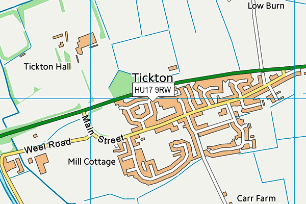
G L Cullington Fields on a map

G L Cullington Fields geodata
| Easting | 506035.31 |
| Northing | 441900.29 |
| Latitude | 53.8625 |
| Longitude | -0.38914 |
| Local Authority Name | East Riding of Yorkshire |
| Local Authority Code | E06000011 |
| Parliamentary Constituency Name | Beverley and Holderness |
| Parliamentary Constituency Code | E14000556 |
| Region Name | Yorkshire and the Humber |
| Region Code | E15000003 |
| Ward Name | Beverley Rural |
| Ward Code | E05001687 |
| Output Area Code | E00065202 |
About this data
This data is open data sourced from Active Places Power and licenced under the Active Places Open Data Licence.
| toid | osgb1000010484401 |
| Created On | 24th Mar 2017 |
| Audited On | 16th May 2023 |
| Checked On | 16th May 2023 |
