Doddington Primary School (Closed)
Doddington Primary School (Closed) is located in Doddington, Sittingbourne (ME9).
| Address | The Street, Doddington, Sittingbourne, ME9 0BG |
| Car Park | Yes |
| Car Park Capacity | 10 |
| Management Type | School/College/University (in house) |
| Management Group | Education |
| Owner Type | Community school |
| Owner Group | Education |
| Education Phase | Primary |
| Closure Date | 31st Dec 2006 |
| Closure Reason | Unclassified |
Facilities
| Closure Date | 31st Dec 2006 |
| Closure Reason | Unclassified |
| Accessibility | Private Use |
| Management Type | Not Known |
| Year Refurbished | 2003 |
| Changing Rooms | No |
| Date Record Checked | 9th Oct 2009 |
| Opening Times | Detailed Timings |
Facility specifics
Contact
Where is Doddington Primary School (Closed)?
| Sub Building Name | |
| Building Name | |
| Building Number | 0 |
| Dependent Thoroughfare | |
| Thoroughfare Name | The Street |
| Double Dependent Locality | |
| Dependent Locality | Doddington |
| PostTown | Sittingbourne |
| Postcode | ME9 0BG |
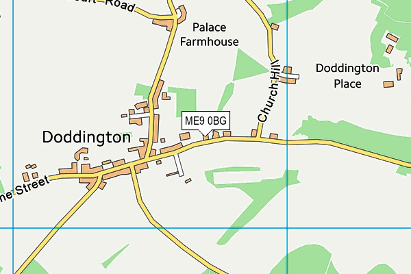
Doddington Primary School (Closed) on a map

Doddington Primary School (Closed) geodata
| Easting | 593633 |
| Northing | 157333 |
| Latitude | 51.28222 |
| Longitude | 0.775146 |
| Local Authority Name | Swale |
| Local Authority Code | E07000113 |
| Parliamentary Constituency Name | Faversham and Mid Kent |
| Parliamentary Constituency Code | E14000700 |
| Region Name | South East |
| Region Code | E15000008 |
| Ward Name | East Downs |
| Ward Code | E05009549 |
| Output Area Code | E00124686 |
About this data
This data is open data sourced from Active Places Power and licenced under the Active Places Open Data Licence.
| Created On | 14th Oct 2006 |
| Audited On | 26th Jan 2015 |
| Checked On | 9th Oct 2009 |
