Bridon Sports Ground (Closed) - Doncaster
Bridon Sports Ground (Closed) is located in Doncaster (DN4).
| Address | Cross Bank, Doncaster, DN4 8BE |
| Car Park | Yes |
| Car Park Capacity | 50 |
| Management Type | School/College/University (in house) |
| Management Group | Education |
| Owner Type | Industry (for employees) |
| Owner Group | Others |
| Education Phase | Not Known |
| Closure Date | 1st Jan 2005 |
| Closure Reason | Unclassified |
Facilities
| Closure Date | 1st Jan 2005 |
| Closure Reason | Unclassified |
| Accessibility | Sports Club / Community Association |
| Management Type | Not Known |
| Changing Rooms | No |
| Date Record Checked | 9th Feb 2011 |
| Opening Times | Detailed Timings |
Facility specifics
| Closure Date | 1st Jan 2005 |
| Closure Reason | Unclassified |
| Accessibility | Sports Club / Community Association |
| Management Type | Not Known |
| Changing Rooms | Yes |
| Date Record Checked | 9th Feb 2011 |
| Opening Times | Detailed Timings |
Facility specifics
| Closure Date | 1st Jan 2005 |
| Closure Reason | Unclassified |
| Accessibility | Sports Club / Community Association |
| Management Type | Not Known |
| Changing Rooms | Yes |
| Date Record Checked | 9th Feb 2011 |
| Opening Times | Detailed Timings |
Facility specifics
Where is Bridon Sports Ground (Closed)?
| Sub Building Name | |
| Building Name | |
| Building Number | 0 |
| Dependent Thoroughfare | |
| Thoroughfare Name | Cross Bank |
| Double Dependent Locality | |
| Dependent Locality | |
| PostTown | Doncaster |
| Postcode | DN4 8BE |
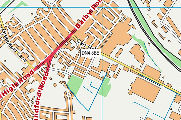
Bridon Sports Ground (Closed) on a map

Bridon Sports Ground (Closed) geodata
| Easting | 457100 |
| Northing | 401361 |
| Latitude | 53.505848 |
| Longitude | -1.140552 |
| Local Authority Name | Doncaster |
| Local Authority Code | E08000017 |
| Parliamentary Constituency Name | Doncaster Central |
| Parliamentary Constituency Code | E14000668 |
| Region Name | Yorkshire and the Humber |
| Region Code | E15000003 |
| Ward Name | Balby South |
| Ward Code | E05010730 |
| Output Area Code | E00037997 |
About this data
This data is open data sourced from Active Places Power and licenced under the Active Places Open Data Licence.
| Created On | 26th Jul 2007 |
| Audited On | 26th Jan 2015 |
| Checked On | 9th Feb 2011 |
