Blyth Morpeth Road Primary School (Closed)
Blyth Morpeth Road Primary School (Closed) is located in Blyth (NE24).
| Address | Disraeli Street, Blyth, NE24 1HZ |
| Car Park | Yes |
| Car Park Capacity | 15 |
| Management Type | School/College/University (in house) |
| Management Group | Education |
| Owner Type | Foundation School |
| Owner Group | Education |
| Education Phase | Primary |
| Closure Date | 31st Aug 2011 |
| Closure Reason | Unclassified |
Facilities
| Closure Date | 31st Aug 2011 |
| Closure Reason | Unclassified |
| Accessibility | Sports Club / Community Association |
| Management Type | Not Known |
| Year Built | 1910 |
| Changing Rooms | No |
| Date Record Checked | 29th Sep 2011 |
| Opening Times | Detailed Timings |
Facility specifics
Contact
Where is Blyth Morpeth Road Primary School (Closed)?
| Sub Building Name | |
| Building Name | |
| Building Number | 0 |
| Dependent Thoroughfare | |
| Thoroughfare Name | Disraeli Street |
| Double Dependent Locality | |
| Dependent Locality | |
| PostTown | Blyth |
| Postcode | NE24 1HZ |
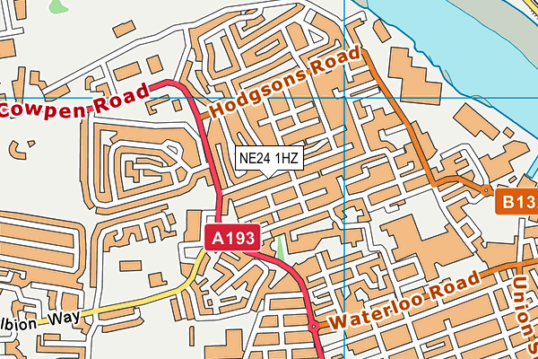
Blyth Morpeth Road Primary School (Closed) on a map

Blyth Morpeth Road Primary School (Closed) geodata
| Easting | 430719 |
| Northing | 581776 |
| Latitude | 55.129411 |
| Longitude | -1.519779 |
| Local Authority Name | Northumberland |
| Local Authority Code | E06000057 |
| Parliamentary Constituency Name | Blyth Valley |
| Parliamentary Constituency Code | E14000575 |
| Region Name | North East |
| Region Code | E15000001 |
| Ward Name | Croft |
| Ward Code | E05009117 |
| Output Area Code | E00139522 |
About this data
This data is open data sourced from Active Places Power and licenced under the Active Places Open Data Licence.
| Created On | 13th Oct 2006 |
| Audited On | 26th Jan 2015 |
| Checked On | 29th Sep 2011 |
