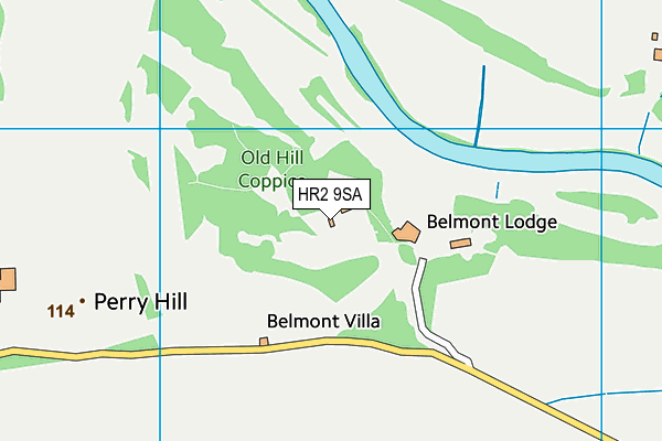
Belmont Lodge And Golf Course (Closed)
Belmont Lodge And Golf Course (Closed) is located in Belmont, Hereford (HR2).
| Address | Belmont, Hereford, HR2 9SA |
| Car Park | Yes |
| Car Park Capacity | 100 |
| Management Type | Commercial Management |
| Management Group | Commercial |
| Owner Type | Commercial |
| Owner Group | Commercial |
| Education Phase | Not Known |
| Closure Date | 1st Mar 2014 |
| Closure Reason | Unclassified |
Facilities
| Closure Date | 1st Mar 2014 |
| Closure Reason | Unclassified |
| Accessibility | Pay and Play |
| Management Type | Not Known |
| Year Built | 1983 |
| Changing Rooms | Yes |
| Year Changing Rooms Refurbished | 2002 |
| Date Record Checked | 7th Aug 2015 |
| Opening Times | Detailed Timings |
Facility specifics
| Closure Date | 1st Jan 2009 |
| Closure Reason | Unclassified |
| Accessibility | Sports Club / Community Association |
| Management Type | Not Known |
| Year Built | 1983 |
| Changing Rooms | Yes |
| Year Changing Rooms Refurbished | 2002 |
| Date Record Checked | 7th Aug 2015 |
| Opening Times | Detailed Timings |
Facility specifics
| Floodlit | No |
| Overmarked | No |
| Surface Type | Concrete |
Contact
Where is Belmont Lodge And Golf Course (Closed)?
| Sub Building Name | |
| Building Name | |
| Building Number | 0 |
| Dependent Thoroughfare | |
| Thoroughfare Name | |
| Double Dependent Locality | |
| Dependent Locality | Belmont |
| PostTown | Hereford |
| Postcode | HR2 9SA |
Belmont Lodge And Golf Course (Closed) on a map

Belmont Lodge And Golf Course (Closed) geodata
| Easting | 347692.5 |
| Northing | 238745.8 |
| Latitude | 52.044626 |
| Longitude | -2.764092 |
| Local Authority Name | Herefordshire, County of |
| Local Authority Code | E06000019 |
| Parliamentary Constituency Name | Hereford and South Herefordshire |
| Parliamentary Constituency Code | E14000743 |
| Region Name | West Midlands |
| Region Code | E15000005 |
| Ward Name | Belmont Rural |
| Ward Code | E05009441 |
| Output Area Code | E00168531 |
About this data
This data is open data sourced from Active Places Power and licenced under the Active Places Open Data Licence.
| Created On | 26th Apr 2004 |
| Audited On | 26th Jan 2015 |
| Checked On | 7th Aug 2015 |
