Ashurst Recreation Ground
Ashurst Recreation Ground is located in Ashurst (BN44), and offers Grass Pitches.
| Address | ASHURST RECREATION GROUND, School Lane, Ashurst, BN44 3AY |
| Car Park | Yes |
| Car Park Capacity | 15 |
| Management Type | Local Authority (in house) |
| Management Group | Local Authority |
| Owner Type | Local Authority |
| Owner Group | Local Authority |
| Education Phase | Not applicable |
Facilities
| Accessibility | Private Use |
| Management Type | Local Authority (in house) |
| Changing Rooms | Yes |
| Date Record Created | 8th Aug 2022 |
| Date Record Checked | 10th Oct 2023 |
| Opening Times | Dawn To Dusk |
Facility specifics
| Accessibility | Private Use |
| Management Type | Local Authority (in house) |
| Changing Rooms | Yes |
| Date Record Created | 8th Aug 2022 |
| Date Record Checked | 10th Oct 2023 |
| Opening Times | Dawn To Dusk |
Facility specifics
Contact
Where is Ashurst Recreation Ground?
| Sub Building Name | |
| Building Name | ASHURST RECREATION GROUND |
| Building Number | 0 |
| Dependent Thoroughfare | |
| Thoroughfare Name | SCHOOL LANE |
| Double Dependent Locality | |
| Dependent Locality | |
| PostTown | ASHURST |
| Postcode | BN44 3AY |
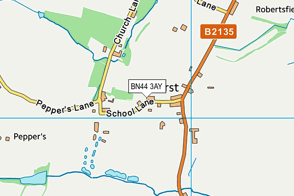
Ashurst Recreation Ground on a map

Ashurst Recreation Ground geodata
| Easting | 517674 |
| Northing | 115961 |
| Latitude | 50.931106 |
| Longitude | -0.326857 |
| Local Authority Name | Horsham |
| Local Authority Code | E07000227 |
| Parliamentary Constituency Name | Arundel and South Downs |
| Parliamentary Constituency Code | E14000534 |
| Region Name | South East |
| Region Code | E15000008 |
| Ward Name | Steyning & Ashurst |
| Ward Code | E05011830 |
| Output Area Code | E00161566 |
About this data
This data is open data sourced from Active Places Power and licenced under the Active Places Open Data Licence.
| toid | osgb1000002318319637 |
| Created On | 8th Aug 2022 |
| Audited On | 10th Oct 2023 |
| Checked On | 10th Oct 2023 |
