YO51 9UJ maps, stats, and open data
YO51 9UJ is located in the Boroughbridge & Claro electoral ward, within the unitary authority of North Yorkshire and the English Parliamentary constituency of Harrogate and Knaresborough. The Sub Integrated Care Board (ICB) Location is NHS Humber and North Yorkshire ICB - 42D and the police force is North Yorkshire. This postcode has been in use since February 2018.
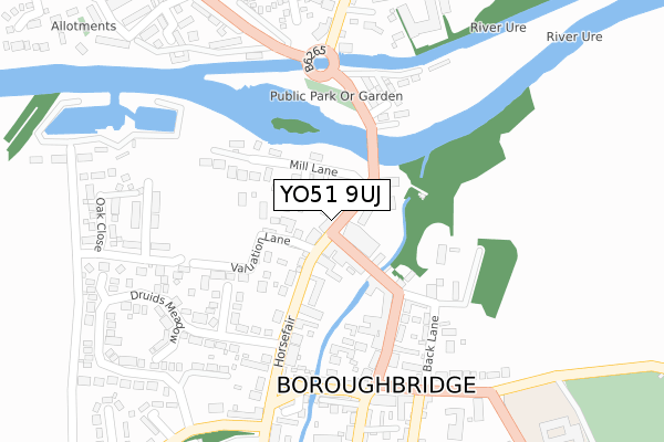
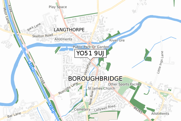
YO51 9UJ maps


Licence: Open Government Licence (requires attribution)
Attribution: Contains OS data © Crown copyright and database right 2025
Source: Open Postcode Geo
Licence: Open Government Licence (requires attribution)
Attribution: Contains OS data © Crown copyright and database right 2025; Contains Royal Mail data © Royal Mail copyright and database right 2025; Source: Office for National Statistics licensed under the Open Government Licence v.3.0
YO51 9UJ geodata
| Easting | 439570 |
| Northing | 466894 |
| Latitude | 54.096445 |
| Longitude | -1.396450 |
Where is YO51 9UJ?
| Country | England |
| Postcode District | YO51 |
Politics
| Ward | Boroughbridge & Claro |
|---|---|
| Constituency | Harrogate And Knaresborough |
Transport
Nearest bus stops to YO51 9UJ
| Crown Hotel (Fishergate) | Boroughbridge | 75m |
| Crown Hotel (Fishergate) | Boroughbridge | 79m |
| Opp St James Square (High Street) | Boroughbridge | 244m |
| St James Square (B6265) | Boroughbridge | 268m |
| Anchor Inn (Leeming Lane) | Boroughbridge | 306m |
Deprivation
24.4% of English postcodes are less deprived than YO51 9UJ:Food Standards Agency
Three nearest food hygiene ratings to YO51 9UJ (metres)

➜ Get more ratings from the Food Standards Agency
Nearest post box to YO51 9UJ
| Last Collection | |||
|---|---|---|---|
| Location | Mon-Fri | Sat | Distance |
| Boroughbridge Post Office | 17:30 | 12:15 | 7m |
| High Street Boroughbridge | 17:30 | 12:10 | 226m |
| Skelton Road Langthorpe | 16:15 | 12:15 | 532m |
Environment
| Risk of YO51 9UJ flooding from rivers and sea | Low |
YO51 9UJ ITL and YO51 9UJ LAU
The below table lists the International Territorial Level (ITL) codes (formerly Nomenclature of Territorial Units for Statistics (NUTS) codes) and Local Administrative Units (LAU) codes for YO51 9UJ:
| ITL 1 Code | Name |
|---|---|
| TLE | Yorkshire and The Humber |
| ITL 2 Code | Name |
| TLE2 | North Yorkshire |
| ITL 3 Code | Name |
| TLE22 | North Yorkshire CC |
| LAU 1 Code | Name |
| E07000165 | Harrogate |
YO51 9UJ census areas
The below table lists the Census Output Area (OA), Lower Layer Super Output Area (LSOA), and Middle Layer Super Output Area (MSOA) for YO51 9UJ:
| Code | Name | |
|---|---|---|
| OA | E00140787 | |
| LSOA | E01027645 | Harrogate 005B |
| MSOA | E02005765 | Harrogate 005 |
Nearest postcodes to YO51 9UJ
| YO51 9NJ | Lancaster Court | 45m |
| YO51 9AA | Horsefair | 47m |
| YO51 9LF | Bridge Street | 47m |
| YO51 9AD | Horsefair | 65m |
| YO51 9LA | Bridge Street | 74m |
| YO51 9LH | Mill Lane | 81m |
| YO51 9AL | Fishergate | 87m |
| YO51 9LJ | Valuation Lane | 95m |
| YO51 9AB | Vine Terrace | 105m |
| YO51 9AQ | Horsefair | 121m |