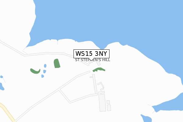
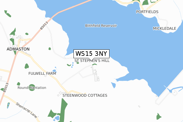
WS15 3NY is located in the Bagots & Needwood electoral ward, within the local authority district of East Staffordshire and the English Parliamentary constituency of Lichfield. The Sub Integrated Care Board (ICB) Location is NHS Staffordshire and Stoke-on-Trent ICB - 05D and the police force is Staffordshire. This postcode has been in use since November 2017.


GetTheData
Source: OS Open Zoomstack (Ordnance Survey)
Licence: Open Government Licence (requires attribution)
Attribution: Contains OS data © Crown copyright and database right 2024
Source: Open Postcode Geo
Licence: Open Government Licence (requires attribution)
Attribution: Contains OS data © Crown copyright and database right 2024; Contains Royal Mail data © Royal Mail copyright and database right 2024; Source: Office for National Statistics licensed under the Open Government Licence v.3.0
| Easting | 406034 |
| Northing | 323050 |
| Latitude | 52.804988 |
| Longitude | -1.911931 |
GetTheData
Source: Open Postcode Geo
Licence: Open Government Licence
| Country | England |
| Postcode District | WS15 |
| ➜ WS15 open data dashboard ➜ See where WS15 is on a map | |
GetTheData
Source: Land Registry Price Paid Data
Licence: Open Government Licence
| Ward | Bagots & Needwood |
| Constituency | Lichfield |
GetTheData
Source: ONS Postcode Database
Licence: Open Government Licence
| Phone Box (Main Road) | Admaston | 1,032m |
| Rugeley Trent Valley Station | 4.1km |
GetTheData
Source: NaPTAN
Licence: Open Government Licence
GetTheData
Source: ONS Postcode Database
Licence: Open Government Licence


➜ Get more ratings from the Food Standards Agency
GetTheData
Source: Food Standards Agency
Licence: FSA terms & conditions
| Last Collection | |||
|---|---|---|---|
| Location | Mon-Fri | Sat | Distance |
| Swann Lane | 16:45 | 07:45 | 2,795m |
| Wolseley Bridge Post Office | 16:45 | 11:30 | 4,821m |
| Wolsley Close | 17:00 | 08:30 | 5,074m |
GetTheData
Source: Dracos
Licence: Creative Commons Attribution-ShareAlike
| Facility | Distance |
|---|---|
| Abbots Bromley Sports Association Mill Green, Mill Green, Abbots Bromley, Rugeley Grass Pitches | 2.4km |
| Old Abbots Bromley School Playing Field Lichfield Road, Abbots Bromley, Rugeley Grass Pitches | 2.6km |
| Abbots Bromley Tennis Club Salters Grange, Abbots Bromley, Rugeley Outdoor Tennis Courts | 2.7km |
GetTheData
Source: Active Places
Licence: Open Government Licence
| School | Phase of Education | Distance |
|---|---|---|
| The Richard Clarke First School Schoolhouse Lane, Abbots Bromley, Rugeley, WS15 3BT | Primary | 2.7km |
| The St. Mary's CofE Primary School Bellamour Way, Colton, Rugeley, WS15 3LN | Primary | 2.8km |
| Rugeley School Blithbury Road, Blithbury, Rugeley, WS15 3JQ | Not applicable | 4.1km |
GetTheData
Source: Edubase
Licence: Open Government Licence
The below table lists the International Territorial Level (ITL) codes (formerly Nomenclature of Territorial Units for Statistics (NUTS) codes) and Local Administrative Units (LAU) codes for WS15 3NY:
| ITL 1 Code | Name |
|---|---|
| TLG | West Midlands (England) |
| ITL 2 Code | Name |
| TLG2 | Shropshire and Staffordshire |
| ITL 3 Code | Name |
| TLG24 | Staffordshire CC |
| LAU 1 Code | Name |
| E07000193 | East Staffordshire |
GetTheData
Source: ONS Postcode Directory
Licence: Open Government Licence
The below table lists the Census Output Area (OA), Lower Layer Super Output Area (LSOA), and Middle Layer Super Output Area (MSOA) for WS15 3NY:
| Code | Name | |
|---|---|---|
| OA | E00149857 | |
| LSOA | E01029411 | East Staffordshire 006A |
| MSOA | E02006136 | East Staffordshire 006 |
GetTheData
Source: ONS Postcode Directory
Licence: Open Government Licence
| WS15 3NQ | Steenwood Lane | 473m |
| WS15 3NG | Steenwood Lane | 882m |
| WS15 3NJ | 1013m | |
| WS15 3NH | School Lane | 1062m |
| WS15 3DX | Port Lane | 1097m |
| WS15 3LX | Park Lane | 1192m |
| WS15 3LZ | 1519m | |
| WS15 3DU | Waters Road | 1528m |
| WS15 3DY | Yeatsall Lane | 1551m |
| WS15 3LU | Moor Lane | 1591m |
GetTheData
Source: Open Postcode Geo; Land Registry Price Paid Data
Licence: Open Government Licence