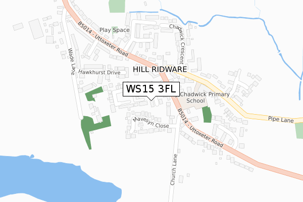
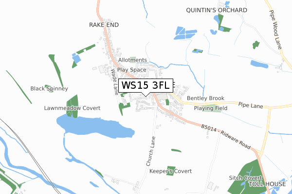
WS15 3FL is located in the Colton & the Ridwares electoral ward, within the local authority district of Lichfield and the English Parliamentary constituency of Lichfield. The Sub Integrated Care Board (ICB) Location is NHS Staffordshire and Stoke-on-Trent ICB - 05D and the police force is Staffordshire. This postcode has been in use since October 2017.


GetTheData
Source: OS Open Zoomstack (Ordnance Survey)
Licence: Open Government Licence (requires attribution)
Attribution: Contains OS data © Crown copyright and database right 2024
Source: Open Postcode Geo
Licence: Open Government Licence (requires attribution)
Attribution: Contains OS data © Crown copyright and database right 2024; Contains Royal Mail data © Royal Mail copyright and database right 2024; Source: Office for National Statistics licensed under the Open Government Licence v.3.0
| Easting | 408107 |
| Northing | 317755 |
| Latitude | 52.757362 |
| Longitude | -1.881309 |
GetTheData
Source: Open Postcode Geo
Licence: Open Government Licence
| Country | England |
| Postcode District | WS15 |
| ➜ WS15 open data dashboard ➜ See where WS15 is on a map ➜ Where is Hill Ridware? | |
GetTheData
Source: Land Registry Price Paid Data
Licence: Open Government Licence
| Ward | Colton & The Ridwares |
| Constituency | Lichfield |
GetTheData
Source: ONS Postcode Database
Licence: Open Government Licence
1, THE PINFOLD, HILL RIDWARE, RUGELEY, WS15 3FL 2017 25 OCT £242,950 |
GetTheData
Source: HM Land Registry Price Paid Data
Licence: Contains HM Land Registry data © Crown copyright and database right 2024. This data is licensed under the Open Government Licence v3.0.
| June 2022 | Anti-social behaviour | On or near Mavesyn Close | 80m |
| May 2022 | Public order | On or near Mavesyn Close | 80m |
| April 2022 | Vehicle crime | On or near Hawkhurst Drive | 197m |
| ➜ Get more crime data in our Crime section | |||
GetTheData
Source: data.police.uk
Licence: Open Government Licence
| Oaklands Close (Uttoxeter Rd) | Hill Ridware | 177m |
| Oaklands Close (Uttoxeter Road) | Hill Ridware | 206m |
| Sandford Close (Uttoxeter Road) | Hill Ridware | 349m |
| Sandford Close (Uttoxeter Road) | Hill Ridware | 368m |
| Wade Lane (Uttoxeter Road) | Hill Ridware | 439m |
| Rugeley Trent Valley Station | 3.5km |
| Rugeley Town Station | 3.8km |
GetTheData
Source: NaPTAN
Licence: Open Government Licence
| Percentage of properties with Next Generation Access | 100.0% |
| Percentage of properties with Superfast Broadband | 100.0% |
| Percentage of properties with Ultrafast Broadband | 100.0% |
| Percentage of properties with Full Fibre Broadband | 100.0% |
Superfast Broadband is between 30Mbps and 300Mbps
Ultrafast Broadband is > 300Mbps
| Percentage of properties unable to receive 2Mbps | 0.0% |
| Percentage of properties unable to receive 5Mbps | 0.0% |
| Percentage of properties unable to receive 10Mbps | 0.0% |
| Percentage of properties unable to receive 30Mbps | 0.0% |
GetTheData
Source: Ofcom
Licence: Ofcom Terms of Use (requires attribution)
GetTheData
Source: ONS Postcode Database
Licence: Open Government Licence


➜ Get more ratings from the Food Standards Agency
GetTheData
Source: Food Standards Agency
Licence: FSA terms & conditions
| Last Collection | |||
|---|---|---|---|
| Location | Mon-Fri | Sat | Distance |
| Hill Ridware | 16:45 | 08:30 | 222m |
| Mavesyn Ridware | 16:30 | 08:30 | 871m |
| Armitage Post Office | 17:30 | 09:30 | 1,769m |
GetTheData
Source: Dracos
Licence: Creative Commons Attribution-ShareAlike
| Facility | Distance |
|---|---|
| Hill Ridware (Closed) Uttoxeter Road, Hill Ridware, Rugeley Grass Pitches | 34m |
| The Croft Primary School Rugeley Road, Armitage, Rugeley Grass Pitches | 1.6km |
| Rugeley Power Station Sports And Social Club (Closed) Rugeley Grass Pitches | 1.8km |
GetTheData
Source: Active Places
Licence: Open Government Licence
| School | Phase of Education | Distance |
|---|---|---|
| Henry Chadwick Primary School School Lane, Hill Ridware, Rugeley, WS15 3QN | Primary | 179m |
| The Croft Primary School Rugeley Road, Armitage, Rugeley, WS15 4AZ | Primary | 1.6km |
| Rugeley School Blithbury Road, Blithbury, Rugeley, WS15 3JQ | Not applicable | 2.2km |
GetTheData
Source: Edubase
Licence: Open Government Licence
The below table lists the International Territorial Level (ITL) codes (formerly Nomenclature of Territorial Units for Statistics (NUTS) codes) and Local Administrative Units (LAU) codes for WS15 3FL:
| ITL 1 Code | Name |
|---|---|
| TLG | West Midlands (England) |
| ITL 2 Code | Name |
| TLG2 | Shropshire and Staffordshire |
| ITL 3 Code | Name |
| TLG24 | Staffordshire CC |
| LAU 1 Code | Name |
| E07000194 | Lichfield |
GetTheData
Source: ONS Postcode Directory
Licence: Open Government Licence
The below table lists the Census Output Area (OA), Lower Layer Super Output Area (LSOA), and Middle Layer Super Output Area (MSOA) for WS15 3FL:
| Code | Name | |
|---|---|---|
| OA | E00150301 | |
| LSOA | E01029498 | Lichfield 001D |
| MSOA | E02006146 | Lichfield 001 |
GetTheData
Source: ONS Postcode Directory
Licence: Open Government Licence
| WS15 3QU | Uttoxeter Road | 89m |
| WS15 3RA | Mavesyn Close | 97m |
| WS15 3QT | Uttoxeter Road | 161m |
| WS15 3RN | Hawkhurst Drive | 166m |
| WS15 3QN | School Lane | 181m |
| WS15 3RF | Wade Lane | 183m |
| WS15 3QW | Chadwick Crescent | 223m |
| WS15 3RJ | Oaklands Close | 236m |
| WS15 3QR | Uttoxeter Road | 253m |
| WS15 3RH | Sandford Close | 265m |
GetTheData
Source: Open Postcode Geo; Land Registry Price Paid Data
Licence: Open Government Licence