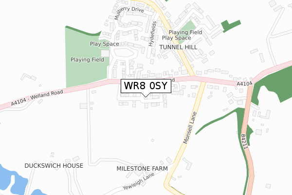
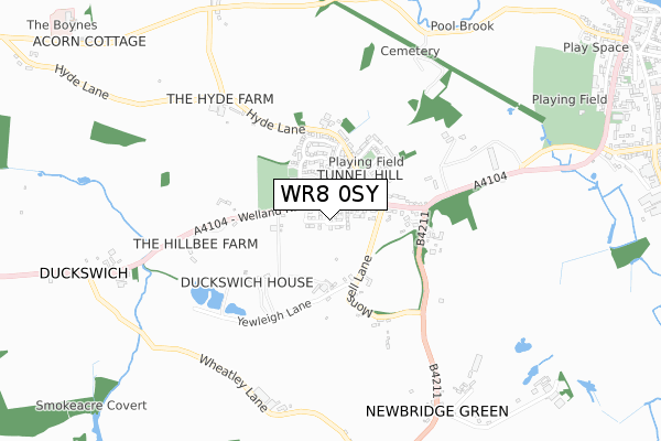
WR8 0SY is located in the Upton & Ripple electoral ward, within the local authority district of Malvern Hills and the English Parliamentary constituency of West Worcestershire. The Sub Integrated Care Board (ICB) Location is NHS Herefordshire and Worcestershire ICB - 18C and the police force is West Mercia. This postcode has been in use since September 2019.


GetTheData
Source: OS Open Zoomstack (Ordnance Survey)
Licence: Open Government Licence (requires attribution)
Attribution: Contains OS data © Crown copyright and database right 2025
Source: Open Postcode Geo
Licence: Open Government Licence (requires attribution)
Attribution: Contains OS data © Crown copyright and database right 2025; Contains Royal Mail data © Royal Mail copyright and database right 2025; Source: Office for National Statistics licensed under the Open Government Licence v.3.0
| Easting | 384061 |
| Northing | 239888 |
| Latitude | 52.057152 |
| Longitude | -2.233872 |
GetTheData
Source: Open Postcode Geo
Licence: Open Government Licence
| Country | England |
| Postcode District | WR8 |
➜ See where WR8 is on a map ➜ Where is Upton upon Severn? | |
GetTheData
Source: Land Registry Price Paid Data
Licence: Open Government Licence
| Ward | Upton & Ripple |
| Constituency | West Worcestershire |
GetTheData
Source: ONS Postcode Database
Licence: Open Government Licence
| Milestone Road (Welland Road) | Tunnel Hill | 71m |
| Milestone Road (Welland Road) | Tunnel Hill | 81m |
| The Hill Centre (Milestone Road) | Tunnel Hill | 190m |
| Monsell Lane (Welland Road) | Tunnel Hill | 247m |
| Monsell Lane (Welland Road) | Tunnel Hill | 278m |
GetTheData
Source: NaPTAN
Licence: Open Government Licence
GetTheData
Source: ONS Postcode Database
Licence: Open Government Licence

➜ Get more ratings from the Food Standards Agency
GetTheData
Source: Food Standards Agency
Licence: FSA terms & conditions
| Last Collection | |||
|---|---|---|---|
| Location | Mon-Fri | Sat | Distance |
| Tunnel Hill | 16:45 | 08:15 | 288m |
| Newbridge Green | 16:30 | 08:30 | 804m |
| Longdon Heath | 16:30 | 09:00 | 1,101m |
GetTheData
Source: Dracos
Licence: Creative Commons Attribution-ShareAlike
The below table lists the International Territorial Level (ITL) codes (formerly Nomenclature of Territorial Units for Statistics (NUTS) codes) and Local Administrative Units (LAU) codes for WR8 0SY:
| ITL 1 Code | Name |
|---|---|
| TLG | West Midlands (England) |
| ITL 2 Code | Name |
| TLG1 | Herefordshire, Worcestershire and Warwickshire |
| ITL 3 Code | Name |
| TLG12 | Worcestershire CC |
| LAU 1 Code | Name |
| E07000235 | Malvern Hills |
GetTheData
Source: ONS Postcode Directory
Licence: Open Government Licence
The below table lists the Census Output Area (OA), Lower Layer Super Output Area (LSOA), and Middle Layer Super Output Area (MSOA) for WR8 0SY:
| Code | Name | |
|---|---|---|
| OA | E00164337 | |
| LSOA | E01032216 | Malvern Hills 011D |
| MSOA | E02006720 | Malvern Hills 011 |
GetTheData
Source: ONS Postcode Directory
Licence: Open Government Licence
| WR8 0SU | Welland Road | 88m |
| WR8 0EP | Lawnside Close | 94m |
| WR8 0SJ | Welland Road | 131m |
| WR8 0EN | Milestone Road | 151m |
| WR8 0SQ | Greenfields | 181m |
| WR8 0ER | Perrins Field | 186m |
| WR8 0SF | Hydefields | 190m |
| WR8 0ES | Oakland Close | 232m |
| WR8 0SH | Old Orchard | 291m |
| WR8 0ET | Mulberry Drive | 292m |
GetTheData
Source: Open Postcode Geo; Land Registry Price Paid Data
Licence: Open Government Licence