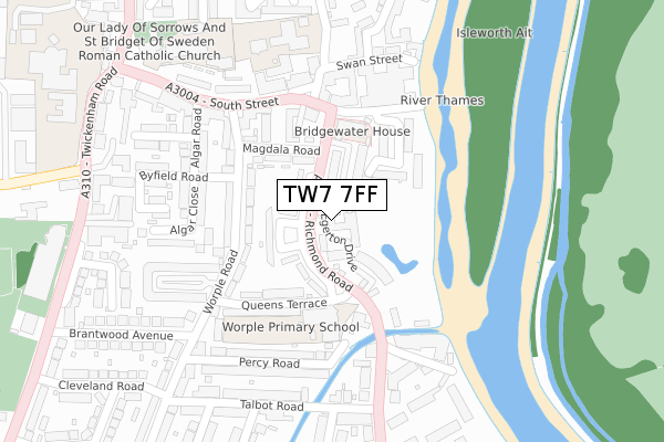
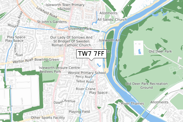
TW7 7FF is located in the Isleworth electoral ward, within the London borough of Hounslow and the English Parliamentary constituency of Brentford and Isleworth. The Sub Integrated Care Board (ICB) Location is NHS North West London ICB - W2U3Z and the police force is Metropolitan Police. This postcode has been in use since August 2017.


GetTheData
Source: OS Open Zoomstack (Ordnance Survey)
Licence: Open Government Licence (requires attribution)
Attribution: Contains OS data © Crown copyright and database right 2025
Source: Open Postcode Geo
Licence: Open Government Licence (requires attribution)
Attribution: Contains OS data © Crown copyright and database right 2025; Contains Royal Mail data © Royal Mail copyright and database right 2025; Source: Office for National Statistics licensed under the Open Government Licence v.3.0
| Easting | 516503 |
| Northing | 175549 |
| Latitude | 51.466927 |
| Longitude | -0.324169 |
GetTheData
Source: Open Postcode Geo
Licence: Open Government Licence
| Country | England |
| Postcode District | TW7 |
➜ See where TW7 is on a map ➜ Where is Isleworth? | |
GetTheData
Source: Land Registry Price Paid Data
Licence: Open Government Licence
| Ward | Isleworth |
| Constituency | Brentford And Isleworth |
GetTheData
Source: ONS Postcode Database
Licence: Open Government Licence
| Richmond Road Queens Terrace | Isleworth | 43m |
| Richmond Road Queens Terrace | Isleworth | 94m |
| South Street (Tw7) (South Street) | Isleworth | 185m |
| South Street (Tw7) | Isleworth | 209m |
| Talbot Road St Margarets Rd (St Margarets Road) | St Margarets | 220m |
| Isleworth Station | 1.2km |
| St Margarets (London) Station | 1.3km |
| Richmond (London) Station | 1.6km |
GetTheData
Source: NaPTAN
Licence: Open Government Licence
| Percentage of properties with Next Generation Access | 100.0% |
| Percentage of properties with Superfast Broadband | 100.0% |
| Percentage of properties with Ultrafast Broadband | 100.0% |
| Percentage of properties with Full Fibre Broadband | 0.0% |
Superfast Broadband is between 30Mbps and 300Mbps
Ultrafast Broadband is > 300Mbps
| Percentage of properties unable to receive 2Mbps | 0.0% |
| Percentage of properties unable to receive 5Mbps | 0.0% |
| Percentage of properties unable to receive 10Mbps | 0.0% |
| Percentage of properties unable to receive 30Mbps | 0.0% |
GetTheData
Source: Ofcom
Licence: Ofcom Terms of Use (requires attribution)
GetTheData
Source: ONS Postcode Database
Licence: Open Government Licence


➜ Get more ratings from the Food Standards Agency
GetTheData
Source: Food Standards Agency
Licence: FSA terms & conditions
| Last Collection | |||
|---|---|---|---|
| Location | Mon-Fri | Sat | Distance |
| Old Isleworth | 17:30 | 12:00 | 205m |
| 385 St Margaret's Road | 17:00 | 11:00 | 310m |
| Steele Road | 17:45 | 12:00 | 429m |
GetTheData
Source: Dracos
Licence: Creative Commons Attribution-ShareAlike
The below table lists the International Territorial Level (ITL) codes (formerly Nomenclature of Territorial Units for Statistics (NUTS) codes) and Local Administrative Units (LAU) codes for TW7 7FF:
| ITL 1 Code | Name |
|---|---|
| TLI | London |
| ITL 2 Code | Name |
| TLI7 | Outer London - West and North West |
| ITL 3 Code | Name |
| TLI75 | Hounslow and Richmond upon Thames |
| LAU 1 Code | Name |
| E09000018 | Hounslow |
GetTheData
Source: ONS Postcode Directory
Licence: Open Government Licence
The below table lists the Census Output Area (OA), Lower Layer Super Output Area (LSOA), and Middle Layer Super Output Area (MSOA) for TW7 7FF:
| Code | Name | |
|---|---|---|
| OA | E00013275 | |
| LSOA | E01002667 | Hounslow 020A |
| MSOA | E02000545 | Hounslow 020 |
GetTheData
Source: ONS Postcode Directory
Licence: Open Government Licence
| TW7 7BS | Richmond Road | 98m |
| TW7 7DD | Magdala Road | 121m |
| TW7 7AW | Kings Terrace | 128m |
| TW7 7AT | Worple Road | 157m |
| TW7 7BE | Herons Place | 159m |
| TW7 7DE | Shrewsbury Walk | 162m |
| TW7 7DB | Queens Terrace | 169m |
| TW7 7BL | Richmond Road | 183m |
| TW7 7BA | Worple Road | 185m |
| TW7 7AZ | Worple Road | 186m |
GetTheData
Source: Open Postcode Geo; Land Registry Price Paid Data
Licence: Open Government Licence