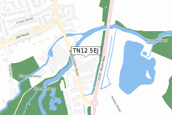
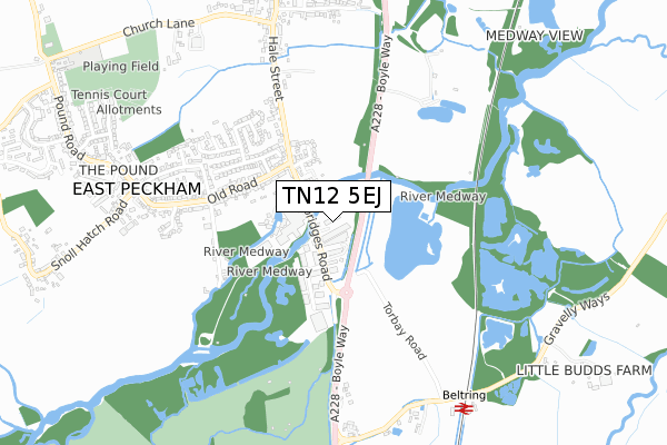
TN12 5EJ is located in the East and West Peckham, Mereworth & Wateringbury electoral ward, within the local authority district of Tonbridge and Malling and the English Parliamentary constituency of Tonbridge and Malling. The Sub Integrated Care Board (ICB) Location is NHS Kent and Medway ICB - 91Q and the police force is Kent. This postcode has been in use since June 2019.


GetTheData
Source: OS Open Zoomstack (Ordnance Survey)
Licence: Open Government Licence (requires attribution)
Attribution: Contains OS data © Crown copyright and database right 2025
Source: Open Postcode Geo
Licence: Open Government Licence (requires attribution)
Attribution: Contains OS data © Crown copyright and database right 2025; Contains Royal Mail data © Royal Mail copyright and database right 2025; Source: Office for National Statistics licensed under the Open Government Licence v.3.0
| Easting | 567501 |
| Northing | 148452 |
| Latitude | 51.210709 |
| Longitude | 0.396692 |
GetTheData
Source: Open Postcode Geo
Licence: Open Government Licence
| Country | England |
| Postcode District | TN12 |
➜ See where TN12 is on a map ➜ Where is East Peckham? | |
GetTheData
Source: Land Registry Price Paid Data
Licence: Open Government Licence
| Ward | East And West Peckham, Mereworth & Wateringbury |
| Constituency | Tonbridge And Malling |
GetTheData
Source: ONS Postcode Database
Licence: Open Government Licence
| Co-op (Hale Street) | East Peckham | 148m |
| Co-op (Hale Street) | East Peckham | 159m |
| Branbridges Road | East Peckham | 277m |
| Crown Acres (Old Road) | East Peckham | 313m |
| Crown Acres (Old Road) | East Peckham | 315m |
| Beltring Station | 0.8km |
| Yalding Station | 2.1km |
| Paddock Wood Station | 3.2km |
GetTheData
Source: NaPTAN
Licence: Open Government Licence
GetTheData
Source: ONS Postcode Database
Licence: Open Government Licence


➜ Get more ratings from the Food Standards Agency
GetTheData
Source: Food Standards Agency
Licence: FSA terms & conditions
| Last Collection | |||
|---|---|---|---|
| Location | Mon-Fri | Sat | Distance |
| Branbridges | 16:30 | 09:00 | 81m |
| East Peckham Post Office | 17:00 | 11:00 | 574m |
| Laddingford Wb | 17:00 | 09:15 | 1,673m |
GetTheData
Source: Dracos
Licence: Creative Commons Attribution-ShareAlike
| Risk of TN12 5EJ flooding from rivers and sea | Medium |
| ➜ TN12 5EJ flood map | |
GetTheData
Source: Open Flood Risk by Postcode
Licence: Open Government Licence
The below table lists the International Territorial Level (ITL) codes (formerly Nomenclature of Territorial Units for Statistics (NUTS) codes) and Local Administrative Units (LAU) codes for TN12 5EJ:
| ITL 1 Code | Name |
|---|---|
| TLJ | South East (England) |
| ITL 2 Code | Name |
| TLJ4 | Kent |
| ITL 3 Code | Name |
| TLJ46 | West Kent |
| LAU 1 Code | Name |
| E07000115 | Tonbridge and Malling |
GetTheData
Source: ONS Postcode Directory
Licence: Open Government Licence
The below table lists the Census Output Area (OA), Lower Layer Super Output Area (LSOA), and Middle Layer Super Output Area (MSOA) for TN12 5EJ:
| Code | Name | |
|---|---|---|
| OA | E00125602 | |
| LSOA | E01024743 | Tonbridge and Malling 008A |
| MSOA | E02005156 | Tonbridge and Malling 008 |
GetTheData
Source: ONS Postcode Directory
Licence: Open Government Licence
| TN12 5HP | Archers Park | 44m |
| TN12 5HD | Branbridges Road | 131m |
| TN12 5HJ | Medway Meadows | 296m |
| TN12 5EW | Old Road | 327m |
| TN12 5EX | Old Road | 336m |
| TN12 5HB | Crown Acres | 411m |
| TN12 5EN | Old Road | 412m |
| TN12 5HA | Crown Acres | 423m |
| TN12 5EU | Pinkham | 458m |
| TN12 5PA | Whitebine Gardens | 476m |
GetTheData
Source: Open Postcode Geo; Land Registry Price Paid Data
Licence: Open Government Licence