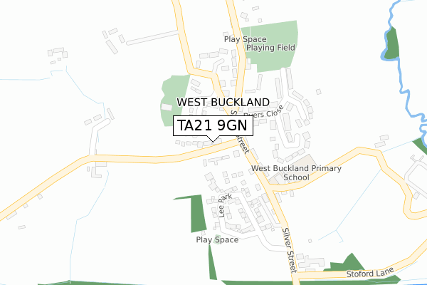
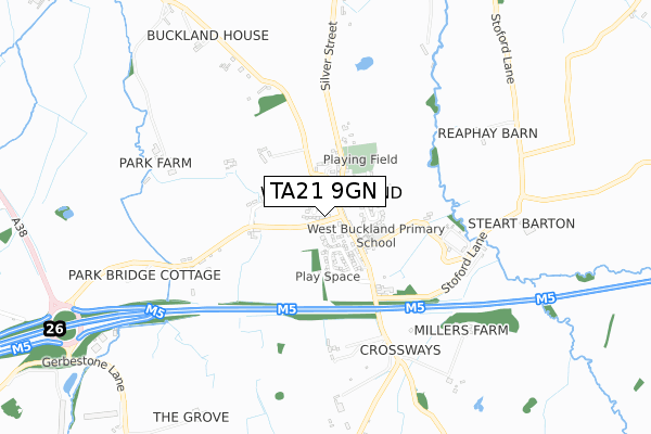
TA21 9GN is located in the Blackdown & Neroche electoral ward, within the unitary authority of Somerset and the English Parliamentary constituency of Taunton Deane. The Sub Integrated Care Board (ICB) Location is NHS Somerset ICB - 11X and the police force is Avon and Somerset. This postcode has been in use since April 2020.


GetTheData
Source: OS Open Zoomstack (Ordnance Survey)
Licence: Open Government Licence (requires attribution)
Attribution: Contains OS data © Crown copyright and database right 2024
Source: Open Postcode Geo
Licence: Open Government Licence (requires attribution)
Attribution: Contains OS data © Crown copyright and database right 2024; Contains Royal Mail data © Royal Mail copyright and database right 2024; Source: Office for National Statistics licensed under the Open Government Licence v.3.0
| Easting | 315073 |
| Northing | 121858 |
| Latitude | 50.989827 |
| Longitude | -3.211414 |
GetTheData
Source: Open Postcode Geo
Licence: Open Government Licence
| Country | England |
| Postcode District | TA21 |
| ➜ TA21 open data dashboard ➜ See where TA21 is on a map ➜ Where is Poole? | |
GetTheData
Source: Land Registry Price Paid Data
Licence: Open Government Licence
| Ward | Blackdown & Neroche |
| Constituency | Taunton Deane |
GetTheData
Source: ONS Postcode Database
Licence: Open Government Licence
| Poole Cross (Taunton Road) | Poole | 635m |
| Poole Cross (Taunton Road) | Poole | 643m |
| Cadres Farm | Chelston | 723m |
| Cadres Farm | Chelston | 731m |
| Corams (Taunton Road) | Chelston | 796m |
GetTheData
Source: NaPTAN
Licence: Open Government Licence
GetTheData
Source: ONS Postcode Database
Licence: Open Government Licence


➜ Get more ratings from the Food Standards Agency
GetTheData
Source: Food Standards Agency
Licence: FSA terms & conditions
| Last Collection | |||
|---|---|---|---|
| Location | Mon-Fri | Sat | Distance |
| Longforth Road | 16:30 | 12:30 | 1,584m |
| Rockwell Green Post Office | 17:00 | 11:30 | 2,901m |
| Oaken Ground | 16:15 | 12:00 | 2,983m |
GetTheData
Source: Dracos
Licence: Creative Commons Attribution-ShareAlike
| Facility | Distance |
|---|---|
| Nynehead Cricket Club Ham Road, Ham, Wellington Grass Pitches | 777m |
| Anytime Fitness (Wellington) Westpark, Westpark, Chelston, Wellington Health and Fitness Gym | 1.1km |
| Isambard Kingdom Brunel Primary School Thomas Place, Thomas Place, Wellington Grass Pitches | 1.2km |
GetTheData
Source: Active Places
Licence: Open Government Licence
| School | Phase of Education | Distance |
|---|---|---|
| Isambard Kingdom Brunel Primary School Thomas Place, Wellington, TA21 8FP | Primary | 1.2km |
| St John's Church of England Primary School Priory, Wellington, TA21 9EJ | Primary | 1.2km |
| Wellington School South Street, Wellington, TA21 8NT | Not applicable | 1.9km |
GetTheData
Source: Edubase
Licence: Open Government Licence
The below table lists the International Territorial Level (ITL) codes (formerly Nomenclature of Territorial Units for Statistics (NUTS) codes) and Local Administrative Units (LAU) codes for TA21 9GN:
| ITL 1 Code | Name |
|---|---|
| TLK | South West (England) |
| ITL 2 Code | Name |
| TLK2 | Dorset and Somerset |
| ITL 3 Code | Name |
| TLK23 | Somerset CC |
| LAU 1 Code | Name |
| E07000246 | Somerset West and Taunton |
GetTheData
Source: ONS Postcode Directory
Licence: Open Government Licence
The below table lists the Census Output Area (OA), Lower Layer Super Output Area (LSOA), and Middle Layer Super Output Area (MSOA) for TA21 9GN:
| Code | Name | |
|---|---|---|
| OA | E00149110 | |
| LSOA | E01029269 | Taunton Deane 013B |
| MSOA | E02006111 | Taunton Deane 013 |
GetTheData
Source: ONS Postcode Directory
Licence: Open Government Licence
| TA21 9HW | Higher Poole | 40m |
| TA21 9HH | 386m | |
| TA21 9JB | 576m | |
| TA21 9HN | 593m | |
| TA21 9AE | Bramley Close | 682m |
| TA21 9JG | Ham Road | 692m |
| TA21 9AA | Cades Mead | 740m |
| TA21 9AF | Bramley Close | 749m |
| TA21 9BQ | Popham Road | 786m |
| TA21 9JF | Summerfield Avenue | 787m |
GetTheData
Source: Open Postcode Geo; Land Registry Price Paid Data
Licence: Open Government Licence