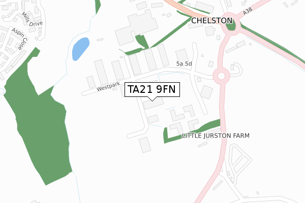
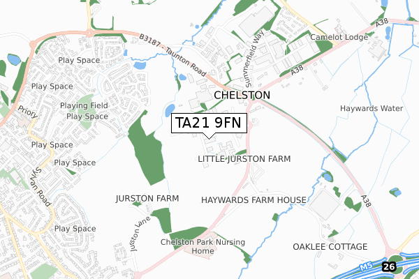
TA21 9FN is located in the Blackdown & Neroche electoral ward, within the unitary authority of Somerset and the English Parliamentary constituency of Taunton Deane. The Sub Integrated Care Board (ICB) Location is NHS Somerset ICB - 11X and the police force is Avon and Somerset. This postcode has been in use since July 2018.


GetTheData
Source: OS Open Zoomstack (Ordnance Survey)
Licence: Open Government Licence (requires attribution)
Attribution: Contains OS data © Crown copyright and database right 2024
Source: Open Postcode Geo
Licence: Open Government Licence (requires attribution)
Attribution: Contains OS data © Crown copyright and database right 2024; Contains Royal Mail data © Royal Mail copyright and database right 2024; Source: Office for National Statistics licensed under the Open Government Licence v.3.0
| Easting | 315336 |
| Northing | 120705 |
| Latitude | 50.979500 |
| Longitude | -3.207399 |
GetTheData
Source: Open Postcode Geo
Licence: Open Government Licence
| Country | England |
| Postcode District | TA21 |
| ➜ TA21 open data dashboard ➜ See where TA21 is on a map | |
GetTheData
Source: Land Registry Price Paid Data
Licence: Open Government Licence
| Ward | Blackdown & Neroche |
| Constituency | Taunton Deane |
GetTheData
Source: ONS Postcode Database
Licence: Open Government Licence
| June 2022 | Violence and sexual offences | On or near Westpark | 112m |
| June 2022 | Anti-social behaviour | On or near Westpark | 112m |
| June 2022 | Anti-social behaviour | On or near Westpark | 112m |
| ➜ Get more crime data in our Crime section | |||
GetTheData
Source: data.police.uk
Licence: Open Government Licence
| Corams | Chelston | 389m |
| Corams (Taunton Road) | Chelston | 396m |
| Chelston Terrace | Chelston Heathfield | 589m |
| Chelston Terrace | Chelston Heathfield | 592m |
| Piccadilly House (Chelston Terrace) | Chelston Heathfield | 891m |
GetTheData
Source: NaPTAN
Licence: Open Government Licence
GetTheData
Source: ONS Postcode Database
Licence: Open Government Licence


➜ Get more ratings from the Food Standards Agency
GetTheData
Source: Food Standards Agency
Licence: FSA terms & conditions
| Last Collection | |||
|---|---|---|---|
| Location | Mon-Fri | Sat | Distance |
| Longforth Road | 16:30 | 12:30 | 1,673m |
| Ford Steet | 11:00 | 11:00 | 2,273m |
| Rockwell Green Post Office | 17:00 | 11:30 | 2,618m |
GetTheData
Source: Dracos
Licence: Creative Commons Attribution-ShareAlike
| Facility | Distance |
|---|---|
| Anytime Fitness (Wellington) Westpark, Westpark, Chelston, Wellington Health and Fitness Gym | 169m |
| Nynehead Cricket Club Ham Road, Ham, Wellington Grass Pitches | 959m |
| The Princess Royal Sports Complex South Street, Wellington Sports Hall, Swimming Pool, Health and Fitness Gym, Artificial Grass Pitch, Grass Pitches, Studio, Squash Courts | 1.3km |
GetTheData
Source: Active Places
Licence: Open Government Licence
| School | Phase of Education | Distance |
|---|---|---|
| St John's Church of England Primary School Priory, Wellington, TA21 9EJ | Primary | 1km |
| Wellington School South Street, Wellington, TA21 8NT | Not applicable | 1.3km |
| Isambard Kingdom Brunel Primary School Thomas Place, Wellington, TA21 8FP | Primary | 1.4km |
GetTheData
Source: Edubase
Licence: Open Government Licence
The below table lists the International Territorial Level (ITL) codes (formerly Nomenclature of Territorial Units for Statistics (NUTS) codes) and Local Administrative Units (LAU) codes for TA21 9FN:
| ITL 1 Code | Name |
|---|---|
| TLK | South West (England) |
| ITL 2 Code | Name |
| TLK2 | Dorset and Somerset |
| ITL 3 Code | Name |
| TLK23 | Somerset CC |
| LAU 1 Code | Name |
| E07000246 | Somerset West and Taunton |
GetTheData
Source: ONS Postcode Directory
Licence: Open Government Licence
The below table lists the Census Output Area (OA), Lower Layer Super Output Area (LSOA), and Middle Layer Super Output Area (MSOA) for TA21 9FN:
| Code | Name | |
|---|---|---|
| OA | E00167303 | |
| LSOA | E01029309 | Taunton Deane 012A |
| MSOA | E02006110 | Taunton Deane 012 |
GetTheData
Source: ONS Postcode Directory
Licence: Open Government Licence
| TA21 9AD | Westpark | 131m |
| TA21 9HP | 389m | |
| TA21 9PH | 437m | |
| TA21 9EG | Aspin Close | 514m |
| TA21 9ED | Mills Drive | 523m |
| TA21 9EQ | Aspin Close | 536m |
| TA21 9JF | Summerfield Avenue | 579m |
| TA21 9BW | Mills Drive | 596m |
| TA21 9FA | Nash Drive | 607m |
| TA21 9HT | Chelston Terrace | 626m |
GetTheData
Source: Open Postcode Geo; Land Registry Price Paid Data
Licence: Open Government Licence