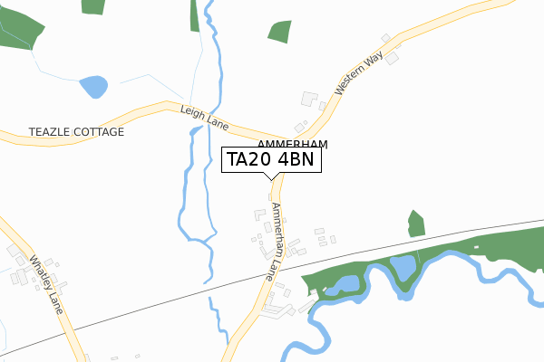
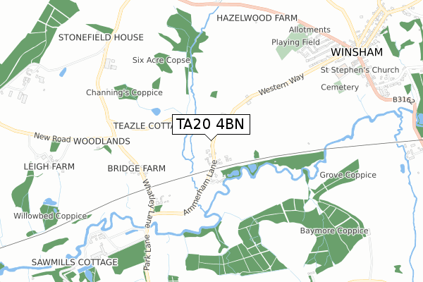
TA20 4BN is located in the Ilminster electoral ward, within the unitary authority of Somerset and the English Parliamentary constituency of Yeovil. The Sub Integrated Care Board (ICB) Location is NHS Somerset ICB - 11X and the police force is Avon and Somerset. This postcode has been in use since May 2018.


GetTheData
Source: OS Open Zoomstack (Ordnance Survey)
Licence: Open Government Licence (requires attribution)
Attribution: Contains OS data © Crown copyright and database right 2025
Source: Open Postcode Geo
Licence: Open Government Licence (requires attribution)
Attribution: Contains OS data © Crown copyright and database right 2025; Contains Royal Mail data © Royal Mail copyright and database right 2025; Source: Office for National Statistics licensed under the Open Government Licence v.3.0
| Easting | 336199 |
| Northing | 108608 |
| Latitude | 50.873425 |
| Longitude | -2.908130 |
GetTheData
Source: Open Postcode Geo
Licence: Open Government Licence
| Country | England |
| Postcode District | TA20 |
➜ See where TA20 is on a map | |
GetTheData
Source: Land Registry Price Paid Data
Licence: Open Government Licence
| Ward | Ilminster |
| Constituency | Yeovil |
GetTheData
Source: ONS Postcode Database
Licence: Open Government Licence
| Cricket St Thomas Turn (A30) | Cricket St Thomas | 649m |
| Wildlife Park | Cricket St Thomas | 652m |
| Whatlet Turn | Lydmarsh | 1,000m |
| Whatley Turn | Lydmarsh | 1,003m |
| Wreath Turn | Lydmarsh | 1,359m |
GetTheData
Source: NaPTAN
Licence: Open Government Licence
GetTheData
Source: ONS Postcode Database
Licence: Open Government Licence


➜ Get more ratings from the Food Standards Agency
GetTheData
Source: Food Standards Agency
Licence: FSA terms & conditions
| Last Collection | |||
|---|---|---|---|
| Location | Mon-Fri | Sat | Distance |
| Whatley | 10:00 | 09:00 | 1,749m |
| Whitegate | 10:00 | 08:15 | 2,409m |
| Winsham Post Office | 17:00 | 09:30 | 2,564m |
GetTheData
Source: Dracos
Licence: Creative Commons Attribution-ShareAlike
The below table lists the International Territorial Level (ITL) codes (formerly Nomenclature of Territorial Units for Statistics (NUTS) codes) and Local Administrative Units (LAU) codes for TA20 4BN:
| ITL 1 Code | Name |
|---|---|
| TLK | South West (England) |
| ITL 2 Code | Name |
| TLK2 | Dorset and Somerset |
| ITL 3 Code | Name |
| TLK23 | Somerset CC |
| LAU 1 Code | Name |
| E07000189 | South Somerset |
GetTheData
Source: ONS Postcode Directory
Licence: Open Government Licence
The below table lists the Census Output Area (OA), Lower Layer Super Output Area (LSOA), and Middle Layer Super Output Area (MSOA) for TA20 4BN:
| Code | Name | |
|---|---|---|
| OA | E00148901 | |
| LSOA | E01029230 | South Somerset 024D |
| MSOA | E02006098 | South Somerset 024 |
GetTheData
Source: ONS Postcode Directory
Licence: Open Government Licence
| TA20 4BU | 181m | |
| TA20 4BX | Higher Kingstonwell | 297m |
| TA20 4DF | 507m | |
| TA20 4AB | 572m | |
| TA20 4AD | 597m | |
| TA20 4AA | 819m | |
| TA20 4DU | Kingston Well Lane | 890m |
| TA20 4BZ | 894m | |
| TA20 4BT | 1003m | |
| TA20 4BY | 1158m |
GetTheData
Source: Open Postcode Geo; Land Registry Price Paid Data
Licence: Open Government Licence