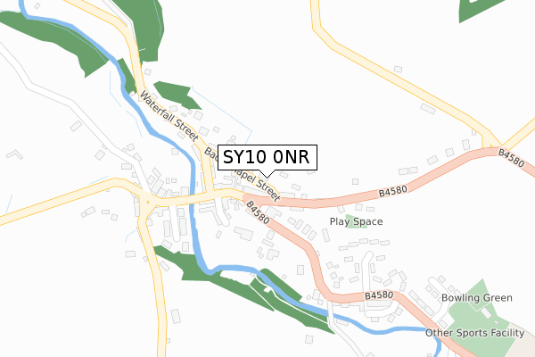
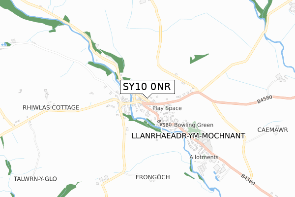
SY10 0NR is located in the Llanrhaeadr-ym-Mochnant and Llansilin electoral ward, within the unitary authority of Powys and the Welsh Parliamentary constituency of Montgomeryshire. The Local Health Board is Powys Teaching and the police force is Dyfed-Powys. This postcode has been in use since August 2018.


GetTheData
Source: OS Open Zoomstack (Ordnance Survey)
Licence: Open Government Licence (requires attribution)
Attribution: Contains OS data © Crown copyright and database right 2024
Source: Open Postcode Geo
Licence: Open Government Licence (requires attribution)
Attribution: Contains OS data © Crown copyright and database right 2024; Contains Royal Mail data © Royal Mail copyright and database right 2024; Source: Office for National Statistics licensed under the Open Government Licence v.3.0
| Easting | 312422 |
| Northing | 326133 |
| Latitude | 52.825598 |
| Longitude | -3.301189 |
GetTheData
Source: Open Postcode Geo
Licence: Open Government Licence
| Country | Wales |
| Postcode District | SY10 |
| ➜ SY10 open data dashboard ➜ See where SY10 is on a map ➜ Where is Llanrhaeadr-ym-Mochnant? | |
GetTheData
Source: Land Registry Price Paid Data
Licence: Open Government Licence
| Ward | Llanrhaeadr-ym-mochnant And Llansilin |
| Constituency | Montgomeryshire |
GetTheData
Source: ONS Postcode Database
Licence: Open Government Licence
| October 2023 | Criminal damage and arson | On or near Parking Area | 122m |
| September 2023 | Criminal damage and arson | On or near Parking Area | 122m |
| June 2022 | Other theft | On or near Dol-Y-Bont | 184m |
| ➜ Get more crime data in our Crime section | |||
GetTheData
Source: data.police.uk
Licence: Open Government Licence
| Llanrhaeadr Square (B4580) | Llanrhaeadr-ym-mochnant | 63m |
| Llanrhaeadr Square (B4580) | Llanrhaeadr-ym-mochnant | 82m |
| Three Tuns (Tabernacle Road) | Llanrhaeadr-ym-mochnant | 226m |
| Maes-y-dderwen (B4580) | Llanrhaeadr-ym-mochnant | 305m |
| Maes-y-esgob (B4580) | Llanrhaeadr-ym-mochnant | 417m |
GetTheData
Source: NaPTAN
Licence: Open Government Licence
GetTheData
Source: ONS Postcode Database
Licence: Open Government Licence


➜ Get more ratings from the Food Standards Agency
GetTheData
Source: Food Standards Agency
Licence: FSA terms & conditions
| Last Collection | |||
|---|---|---|---|
| Location | Mon-Fri | Sat | Distance |
| Llanrhaeadr Post Office | 16:45 | 11:00 | 44m |
| Llanrhaeadr Railway Station | 11:00 | 11:00 | 1,586m |
| Penybontfawr Post Office | 16:30 | 11:30 | 4,074m |
GetTheData
Source: Dracos
Licence: Creative Commons Attribution-ShareAlike
| School | Phase of Education | Distance |
|---|---|---|
| Llanrhaeadr Ym Mochnant C.P. School Llanrhaeadr Ym Mochnant, Oswestry, Salop, SY10 0LG | Not applicable | 619m |
| Ysgol Pennant C.P. Penybont Fawr, Oswestry, Salop, SY10 0NT | Not applicable | 4.2km |
GetTheData
Source: Edubase
Licence: Open Government Licence
The below table lists the International Territorial Level (ITL) codes (formerly Nomenclature of Territorial Units for Statistics (NUTS) codes) and Local Administrative Units (LAU) codes for SY10 0NR:
| ITL 1 Code | Name |
|---|---|
| TLL | Wales |
| ITL 2 Code | Name |
| TLL2 | East Wales |
| ITL 3 Code | Name |
| TLL24 | Powys |
| LAU 1 Code | Name |
| W06000023 | Powys |
GetTheData
Source: ONS Postcode Directory
Licence: Open Government Licence
The below table lists the Census Output Area (OA), Lower Layer Super Output Area (LSOA), and Middle Layer Super Output Area (MSOA) for SY10 0NR:
| Code | Name | |
|---|---|---|
| OA | W00002495 | |
| LSOA | W01001906 | Powys 001F |
| MSOA | W02000097 | Powys 001 |
GetTheData
Source: ONS Postcode Directory
Licence: Open Government Licence
| SY10 0JG | Market Square | 36m |
| SY10 0JH | Park Street | 43m |
| SY10 0JN | Market Street | 71m |
| SY10 0JY | 92m | |
| SY10 0JW | Church Street | 108m |
| SY10 0JJ | Park Street | 112m |
| SY10 0JX | Waterfall Street | 122m |
| SY10 0JP | 150m | |
| SY10 0LA | 169m | |
| SY10 0LJ | Dolybont | 178m |
GetTheData
Source: Open Postcode Geo; Land Registry Price Paid Data
Licence: Open Government Licence