Property/Postcode Data Search:
SW6 9LW maps, stats, and open data
SW6 9LW is located in the Walham Green electoral ward, within the London borough of Hammersmith and Fulham and the English Parliamentary constituency of Chelsea and Fulham. The Sub Integrated Care Board (ICB) Location is NHS North West London ICB - W2U3Z and the police force is Metropolitan Police. This postcode has been in use since November 2019.
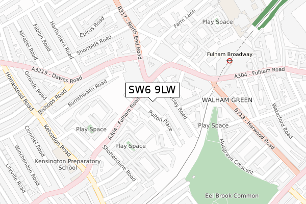
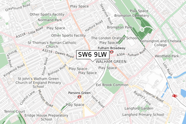
SW6 9LW maps


Source: OS Open Zoomstack (Ordnance Survey)
Licence: Open Government Licence (requires attribution)
Attribution: Contains OS data © Crown copyright and database right 2025
Source: Open Postcode Geo
Licence: Open Government Licence (requires attribution)
Attribution: Contains OS data © Crown copyright and database right 2025; Contains Royal Mail data © Royal Mail copyright and database right 2025; Source: Office for National Statistics licensed under the Open Government Licence v.3.0
Licence: Open Government Licence (requires attribution)
Attribution: Contains OS data © Crown copyright and database right 2025
Source: Open Postcode Geo
Licence: Open Government Licence (requires attribution)
Attribution: Contains OS data © Crown copyright and database right 2025; Contains Royal Mail data © Royal Mail copyright and database right 2025; Source: Office for National Statistics licensed under the Open Government Licence v.3.0
SW6 9LW geodata
| Easting | 525198 |
| Northing | 177141 |
| Latitude | 51.479381 |
| Longitude | -0.198493 |
Where is SW6 9LW?
| Country | England |
| Postcode District | SW6 |
Politics
| Ward | Walham Green |
|---|---|
| Constituency | Chelsea And Fulham |
Transport
Nearest bus stops to SW6 9LW
| Fulham Broadway (Fulham Road) | Fulham Broadway | 93m |
| Fulham Broadway (Fulham Road) | Fulham Broadway | 127m |
| North End Road Dawes Road (Dawes Road) | Walham Green | 190m |
| North End Road Dawes Road (Dawes Road) | Walham Green | 212m |
| Fulham Town Hall (Harwood Road) | Walham Green | 234m |
Nearest underground/metro/tram to SW6 9LW
| Fulham Broadway Underground Station | Fulham Broadway | 229m |
| Parsons Green Underground Station | Parsons Green | 492m |
| West Brompton Underground Station | West Brompton | 900m |
| West Kensington Underground Station | West Kensington | 1,355m |
| Putney Bridge Underground Station | Putney Bridge | 1,426m |
Nearest railway stations to SW6 9LW
| West Brompton Station | 0.9km |
| Imperial Wharf Station | 1.2km |
| Wandsworth Town Station | 2.2km |
Deprivation
61.4% of English postcodes are less deprived than SW6 9LW:Food Standards Agency
Three nearest food hygiene ratings to SW6 9LW (metres)
Natural Healthy Eatery

651 Fulham Road
34m
Nosh Detox And Delivery Ltd

651 Fulham Road
34m
Dacha Shop

645 Fulham Road
46m
➜ Get more ratings from the Food Standards Agency
Nearest post box to SW6 9LW
| Last Collection | |||
|---|---|---|---|
| Location | Mon-Fri | Sat | Distance |
| Post Office | 17:30 | 12:00 | 24m |
| 14 Farm Lane | 17:30 | 12:00 | 210m |
| Walham Grove | 17:30 | 12:00 | 241m |
Environment
| Risk of SW6 9LW flooding from rivers and sea | Very Low |
SW6 9LW ITL and SW6 9LW LAU
The below table lists the International Territorial Level (ITL) codes (formerly Nomenclature of Territorial Units for Statistics (NUTS) codes) and Local Administrative Units (LAU) codes for SW6 9LW:
| ITL 1 Code | Name |
|---|---|
| TLI | London |
| ITL 2 Code | Name |
| TLI3 | Inner London - West |
| ITL 3 Code | Name |
| TLI33 | Kensington & Chelsea and Hammersmith & Fulham |
| LAU 1 Code | Name |
| E09000013 | Hammersmith and Fulham |
SW6 9LW census areas
The below table lists the Census Output Area (OA), Lower Layer Super Output Area (LSOA), and Middle Layer Super Output Area (MSOA) for SW6 9LW:
| Code | Name | |
|---|---|---|
| OA | E00009763 | |
| LSOA | E01001953 | Hammersmith and Fulham 021F |
| MSOA | E02000392 | Hammersmith and Fulham 021 |
Nearest postcodes to SW6 9LW
| SW6 5UH | Fulham Road | 26m |
| SW6 5QH | Cassidy Road | 43m |
| SW6 5PU | Fulham Road | 45m |
| SW6 5UQ | Fulham Road | 57m |
| SW6 5NJ | Fulham Road | 63m |
| SW6 1EH | Barclay Road | 72m |
| SW6 5QQ | Barclay Close | 75m |
| SW6 5PY | Fulham Road | 84m |
| SW6 1EJ | Barclay Road | 86m |
| SW6 5NR | Fulham Road | 89m |