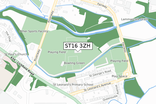
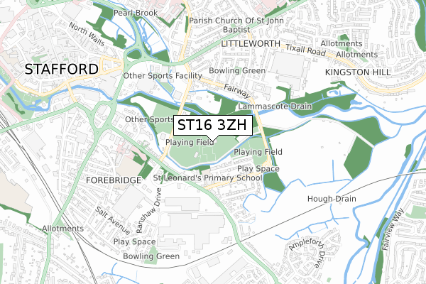
ST16 3ZH is located in the Forebridge electoral ward, within the local authority district of Stafford and the English Parliamentary constituency of Stafford. The Sub Integrated Care Board (ICB) Location is NHS Staffordshire and Stoke-on-Trent ICB - 05V and the police force is Staffordshire. This postcode has been in use since October 2017.


GetTheData
Source: OS Open Zoomstack (Ordnance Survey)
Licence: Open Government Licence (requires attribution)
Attribution: Contains OS data © Crown copyright and database right 2025
Source: Open Postcode Geo
Licence: Open Government Licence (requires attribution)
Attribution: Contains OS data © Crown copyright and database right 2025; Contains Royal Mail data © Royal Mail copyright and database right 2025; Source: Office for National Statistics licensed under the Open Government Licence v.3.0
| Easting | 393122 |
| Northing | 322715 |
| Latitude | 52.801962 |
| Longitude | -2.103456 |
GetTheData
Source: Open Postcode Geo
Licence: Open Government Licence
| Country | England |
| Postcode District | ST16 |
➜ See where ST16 is on a map ➜ Where is Stafford? | |
GetTheData
Source: Land Registry Price Paid Data
Licence: Open Government Licence
| Ward | Forebridge |
| Constituency | Stafford |
GetTheData
Source: ONS Postcode Database
Licence: Open Government Licence
| Christopher Terrace (St Leonards Av) | St Leonards | 246m |
| Christopher Terrace (St Leonards Av) | St Leonards | 253m |
| St Leonards Avenue (Lichfield Road) | St Leonards | 269m |
| St Leonards Avenue (Lichfield Rd) | St Leonards | 287m |
| Queensville Avenue (St Leonard's Avenue) | St Leonards | 290m |
| Stafford Station | 1.3km |
GetTheData
Source: NaPTAN
Licence: Open Government Licence
GetTheData
Source: ONS Postcode Database
Licence: Open Government Licence


➜ Get more ratings from the Food Standards Agency
GetTheData
Source: Food Standards Agency
Licence: FSA terms & conditions
| Last Collection | |||
|---|---|---|---|
| Location | Mon-Fri | Sat | Distance |
| St Leonards Avenue Post Office | 17:15 | 09:00 | 260m |
| Sandon Road North | 17:30 | 09:30 | 387m |
| Littleworth Post Office | 17:00 | 12:00 | 600m |
GetTheData
Source: Dracos
Licence: Creative Commons Attribution-ShareAlike
| Risk of ST16 3ZH flooding from rivers and sea | Medium |
| ➜ ST16 3ZH flood map | |
GetTheData
Source: Open Flood Risk by Postcode
Licence: Open Government Licence
The below table lists the International Territorial Level (ITL) codes (formerly Nomenclature of Territorial Units for Statistics (NUTS) codes) and Local Administrative Units (LAU) codes for ST16 3ZH:
| ITL 1 Code | Name |
|---|---|
| TLG | West Midlands (England) |
| ITL 2 Code | Name |
| TLG2 | Shropshire and Staffordshire |
| ITL 3 Code | Name |
| TLG24 | Staffordshire CC |
| LAU 1 Code | Name |
| E07000197 | Stafford |
GetTheData
Source: ONS Postcode Directory
Licence: Open Government Licence
The below table lists the Census Output Area (OA), Lower Layer Super Output Area (LSOA), and Middle Layer Super Output Area (MSOA) for ST16 3ZH:
| Code | Name | |
|---|---|---|
| OA | E00151328 | |
| LSOA | E01029699 | Stafford 010D |
| MSOA | E02006197 | Stafford 010 |
GetTheData
Source: ONS Postcode Directory
Licence: Open Government Licence
| ST17 4LZ | St Georges Road | 154m |
| ST17 4LY | Christopher Terrace | 200m |
| ST17 4LT | St Leonards Avenue | 237m |
| ST17 4PR | St Leonards Avenue | 276m |
| ST17 4LL | Lichfield Road | 277m |
| ST16 3TN | Fairway | 315m |
| ST16 3TH | Riverway | 316m |
| ST17 4LW | Lichfield Road | 321m |
| ST16 3TW | Fairway | 325m |
| ST16 3TL | Fairway | 343m |
GetTheData
Source: Open Postcode Geo; Land Registry Price Paid Data
Licence: Open Government Licence