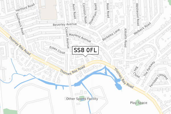
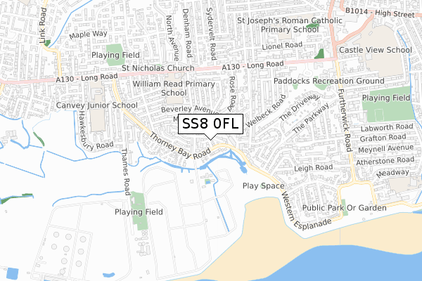
SS8 0FL is located in the Canvey Island South electoral ward, within the local authority district of Castle Point and the English Parliamentary constituency of Castle Point. The Sub Integrated Care Board (ICB) Location is NHS Mid and South Essex ICB - 99F and the police force is Essex. This postcode has been in use since June 2019.


GetTheData
Source: OS Open Zoomstack (Ordnance Survey)
Licence: Open Government Licence (requires attribution)
Attribution: Contains OS data © Crown copyright and database right 2025
Source: Open Postcode Geo
Licence: Open Government Licence (requires attribution)
Attribution: Contains OS data © Crown copyright and database right 2025; Contains Royal Mail data © Royal Mail copyright and database right 2025; Source: Office for National Statistics licensed under the Open Government Licence v.3.0
| Easting | 579205 |
| Northing | 182544 |
| Latitude | 51.513399 |
| Longitude | 0.581243 |
GetTheData
Source: Open Postcode Geo
Licence: Open Government Licence
| Country | England |
| Postcode District | SS8 |
➜ See where SS8 is on a map ➜ Where is Canvey Island? | |
GetTheData
Source: Land Registry Price Paid Data
Licence: Open Government Licence
| Ward | Canvey Island South |
| Constituency | Castle Point |
GetTheData
Source: ONS Postcode Database
Licence: Open Government Licence
| Jasmine Close (Thorney Bay Road) | Canvey | 305m |
| Jasmine Close (Thorney Bay Road) | Canvey | 306m |
| Cleveland Road (Western Esplanade) | Canvey | 447m |
| Cleveland Road (Western Esplanade) | Canvey | 484m |
| Thames Road (Thorney Bay Road) | Canvey | 634m |
| Benfleet Station | 3.7km |
| Leigh-on-Sea Station | 5.1km |
GetTheData
Source: NaPTAN
Licence: Open Government Licence
| Percentage of properties with Next Generation Access | 100.0% |
| Percentage of properties with Superfast Broadband | 100.0% |
| Percentage of properties with Ultrafast Broadband | 0.0% |
| Percentage of properties with Full Fibre Broadband | 0.0% |
Superfast Broadband is between 30Mbps and 300Mbps
Ultrafast Broadband is > 300Mbps
| Percentage of properties unable to receive 2Mbps | 0.0% |
| Percentage of properties unable to receive 5Mbps | 0.0% |
| Percentage of properties unable to receive 10Mbps | 0.0% |
| Percentage of properties unable to receive 30Mbps | 0.0% |
GetTheData
Source: Ofcom
Licence: Ofcom Terms of Use (requires attribution)
GetTheData
Source: ONS Postcode Database
Licence: Open Government Licence


➜ Get more ratings from the Food Standards Agency
GetTheData
Source: Food Standards Agency
Licence: FSA terms & conditions
| Last Collection | |||
|---|---|---|---|
| Location | Mon-Fri | Sat | Distance |
| Thorney Bay Camp | 17:15 | 11:30 | 229m |
| Canvey Village Post Office | 17:15 | 12:00 | 1,208m |
| St Michaels | 17:00 | 11:45 | 1,768m |
GetTheData
Source: Dracos
Licence: Creative Commons Attribution-ShareAlike
| Risk of SS8 0FL flooding from rivers and sea | Very Low |
| ➜ SS8 0FL flood map | |
GetTheData
Source: Open Flood Risk by Postcode
Licence: Open Government Licence
The below table lists the International Territorial Level (ITL) codes (formerly Nomenclature of Territorial Units for Statistics (NUTS) codes) and Local Administrative Units (LAU) codes for SS8 0FL:
| ITL 1 Code | Name |
|---|---|
| TLH | East |
| ITL 2 Code | Name |
| TLH3 | Essex |
| ITL 3 Code | Name |
| TLH37 | Essex Thames Gateway |
| LAU 1 Code | Name |
| E07000069 | Castle Point |
GetTheData
Source: ONS Postcode Directory
Licence: Open Government Licence
The below table lists the Census Output Area (OA), Lower Layer Super Output Area (LSOA), and Middle Layer Super Output Area (MSOA) for SS8 0FL:
| Code | Name | |
|---|---|---|
| OA | E00109227 | |
| LSOA | E01021500 | Castle Point 012E |
| MSOA | E02004484 | Castle Point 012 |
GetTheData
Source: ONS Postcode Directory
Licence: Open Government Licence
| SS8 0HU | Azalea Mews | 238m |
| SS8 0GD | Magnolia Close | 253m |
| SS8 0FG | Lambourne | 326m |
| SS8 0HT | Jasmine Close | 331m |
| SS8 0HN | Thorney Bay Road | 338m |
| SS8 0BX | Thorney Bay Road | 347m |
| SS8 0BZ | Ray Close | 369m |
| SS8 0DZ | Chichester Close | 383m |
| SS8 0RN | The Fielders | 391m |
| SS8 0AG | Thorney Bay Road | 395m |
GetTheData
Source: Open Postcode Geo; Land Registry Price Paid Data
Licence: Open Government Licence