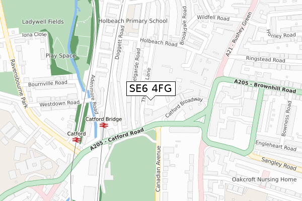
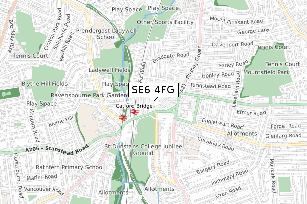
SE6 4FG is located in the Rushey Green electoral ward, within the London borough of Lewisham and the English Parliamentary constituency of Lewisham East. The Sub Integrated Care Board (ICB) Location is NHS South East London ICB - 72Q and the police force is Metropolitan Police. This postcode has been in use since November 2018.


GetTheData
Source: OS Open Zoomstack (Ordnance Survey)
Licence: Open Government Licence (requires attribution)
Attribution: Contains OS data © Crown copyright and database right 2025
Source: Open Postcode Geo
Licence: Open Government Licence (requires attribution)
Attribution: Contains OS data © Crown copyright and database right 2025; Contains Royal Mail data © Royal Mail copyright and database right 2025; Source: Office for National Statistics licensed under the Open Government Licence v.3.0
| Easting | 537514 |
| Northing | 173691 |
| Latitude | 51.445520 |
| Longitude | -0.022587 |
GetTheData
Source: Open Postcode Geo
Licence: Open Government Licence
| Country | England |
| Postcode District | SE6 |
➜ See where SE6 is on a map | |
GetTheData
Source: Land Registry Price Paid Data
Licence: Open Government Licence
| Ward | Rushey Green |
| Constituency | Lewisham East |
GetTheData
Source: ONS Postcode Database
Licence: Open Government Licence
| Thomas Lane | Catford | 93m |
| Catford Bridge (Doggett Road) | Catford | 124m |
| Catford Rd Lewisham Town Hall (Catford Road) | Catford | 140m |
| Catford & Catford Bridge Stns (Catford Road) | Catford | 142m |
| Catford & Catford Bridge Stns (Catford Road) | Catford | 153m |
| Catford Bridge Station | 0.2km |
| Catford Station | 0.3km |
| Ladywell Station | 1.2km |
GetTheData
Source: NaPTAN
Licence: Open Government Licence
GetTheData
Source: ONS Postcode Database
Licence: Open Government Licence


➜ Get more ratings from the Food Standards Agency
GetTheData
Source: Food Standards Agency
Licence: FSA terms & conditions
| Last Collection | |||
|---|---|---|---|
| Location | Mon-Fri | Sat | Distance |
| Catford Bridge | 17:30 | 12:00 | 134m |
| 160 Rushey Green | 17:30 | 12:00 | 199m |
| Post Office | 17:30 | 12:00 | 208m |
GetTheData
Source: Dracos
Licence: Creative Commons Attribution-ShareAlike
| Risk of SE6 4FG flooding from rivers and sea | Low |
| ➜ SE6 4FG flood map | |
GetTheData
Source: Open Flood Risk by Postcode
Licence: Open Government Licence
The below table lists the International Territorial Level (ITL) codes (formerly Nomenclature of Territorial Units for Statistics (NUTS) codes) and Local Administrative Units (LAU) codes for SE6 4FG:
| ITL 1 Code | Name |
|---|---|
| TLI | London |
| ITL 2 Code | Name |
| TLI4 | Inner London - East |
| ITL 3 Code | Name |
| TLI44 | Lewisham and Southwark |
| LAU 1 Code | Name |
| E09000023 | Lewisham |
GetTheData
Source: ONS Postcode Directory
Licence: Open Government Licence
The below table lists the Census Output Area (OA), Lower Layer Super Output Area (LSOA), and Middle Layer Super Output Area (MSOA) for SE6 4FG:
| Code | Name | |
|---|---|---|
| OA | E00016795 | |
| LSOA | E01003318 | Lewisham 020B |
| MSOA | E02000672 | Lewisham 020 |
GetTheData
Source: ONS Postcode Directory
Licence: Open Government Licence
| SE6 4SP | Catford Broadway | 46m |
| SE6 4TF | Nelgarde Road | 66m |
| SE6 4TA | Nelgarde Road | 77m |
| SE6 4SN | Catford Broadway | 94m |
| SE6 4QZ | Catford Road | 112m |
| SE6 4QA | Doggett Road | 113m |
| SE6 4PZ | Doggett Road | 126m |
| SE6 4SA | Thomas Lane | 147m |
| SE6 4SB | Thomas Lane | 147m |
| SE6 4SG | Thomas Lane | 147m |
GetTheData
Source: Open Postcode Geo; Land Registry Price Paid Data
Licence: Open Government Licence