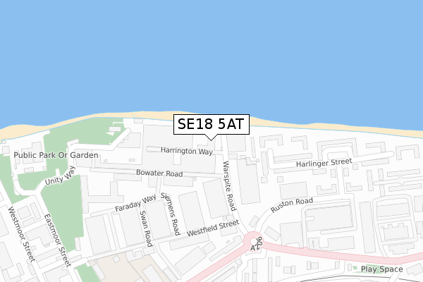
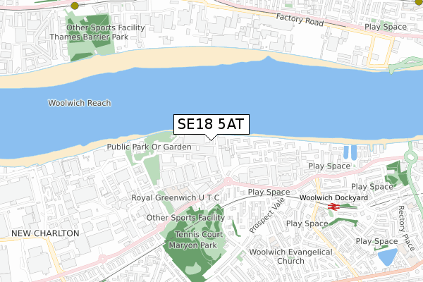
SE18 5AT is located in the Charlton Village & Riverside electoral ward, within the London borough of Greenwich and the English Parliamentary constituency of Greenwich and Woolwich. The Sub Integrated Care Board (ICB) Location is NHS South East London ICB - 72Q and the police force is Metropolitan Police. This postcode has been in use since September 2018.


GetTheData
Source: OS Open Zoomstack (Ordnance Survey)
Licence: Open Government Licence (requires attribution)
Attribution: Contains OS data © Crown copyright and database right 2025
Source: Open Postcode Geo
Licence: Open Government Licence (requires attribution)
Attribution: Contains OS data © Crown copyright and database right 2025; Contains Royal Mail data © Royal Mail copyright and database right 2025; Source: Office for National Statistics licensed under the Open Government Licence v.3.0
| Easting | 542008 |
| Northing | 179304 |
| Latitude | 51.494850 |
| Longitude | 0.044290 |
GetTheData
Source: Open Postcode Geo
Licence: Open Government Licence
| Country | England |
| Postcode District | SE18 |
➜ See where SE18 is on a map ➜ Where is Woolwich? | |
GetTheData
Source: Land Registry Price Paid Data
Licence: Open Government Licence
| Ward | Charlton Village & Riverside |
| Constituency | Greenwich And Woolwich |
GetTheData
Source: ONS Postcode Database
Licence: Open Government Licence
| Warspite Road (Woolwich Church Street) | Woolwich | 326m |
| Warspite Road (Woolwich Church Street) | Woolwich | 347m |
| Cleveley Close | Charlton | 406m |
| Royal Greenwich Uni Tech College | Charlton | 437m |
| Morris Walk Estate (Prospect Vale) | Woolwich | 527m |
| London City Airport Dlr Station (Hartmann Road) | Silvertown | 1,002m |
| Pontoon Dock Dlr Station (North Woolwich Road) | Silvertown | 1,176m |
| King George V Dlr Station (Rymill Street) | Silvertown | 1,503m |
| Woolwich Dockyard Station | 0.8km |
| Charlton Station | 1.3km |
| Woolwich Arsenal Station | 1.8km |
GetTheData
Source: NaPTAN
Licence: Open Government Licence
GetTheData
Source: ONS Postcode Database
Licence: Open Government Licence


➜ Get more ratings from the Food Standards Agency
GetTheData
Source: Food Standards Agency
Licence: FSA terms & conditions
| Last Collection | |||
|---|---|---|---|
| Location | Mon-Fri | Sat | Distance |
| Thames Barrier | 17:30 | 12:00 | 219m |
| Warspite Industrial Estate | 17:30 | 224m | |
| Ruston Road | 17:30 | 12:00 | 320m |
GetTheData
Source: Dracos
Licence: Creative Commons Attribution-ShareAlike
| Risk of SE18 5AT flooding from rivers and sea | Very Low |
| ➜ SE18 5AT flood map | |
GetTheData
Source: Open Flood Risk by Postcode
Licence: Open Government Licence
The below table lists the International Territorial Level (ITL) codes (formerly Nomenclature of Territorial Units for Statistics (NUTS) codes) and Local Administrative Units (LAU) codes for SE18 5AT:
| ITL 1 Code | Name |
|---|---|
| TLI | London |
| ITL 2 Code | Name |
| TLI5 | Outer London - East and North East |
| ITL 3 Code | Name |
| TLI51 | Bexley and Greenwich |
| LAU 1 Code | Name |
| E09000011 | Greenwich |
GetTheData
Source: ONS Postcode Directory
Licence: Open Government Licence
The below table lists the Census Output Area (OA), Lower Layer Super Output Area (LSOA), and Middle Layer Super Output Area (MSOA) for SE18 5AT:
| Code | Name | |
|---|---|---|
| OA | E00008501 | |
| LSOA | E01001711 | Greenwich 004C |
| MSOA | E02000316 | Greenwich 004 |
GetTheData
Source: ONS Postcode Directory
Licence: Open Government Licence
| SE18 5SU | Harlinger Street | 139m |
| SE18 5SP | Harlinger Street | 140m |
| SE18 5SX | Harlinger Street | 197m |
| SE18 5SR | Harlinger Street | 208m |
| SE18 5SY | Harlinger Street | 214m |
| SE18 5PG | Warspite Road | 243m |
| SE7 8LL | Woolwich Road | 254m |
| SE18 5SS | Harlinger Street | 256m |
| SE7 8LJ | Woolwich Road | 270m |
| SE18 5QX | Ruston Road | 304m |
GetTheData
Source: Open Postcode Geo; Land Registry Price Paid Data
Licence: Open Government Licence