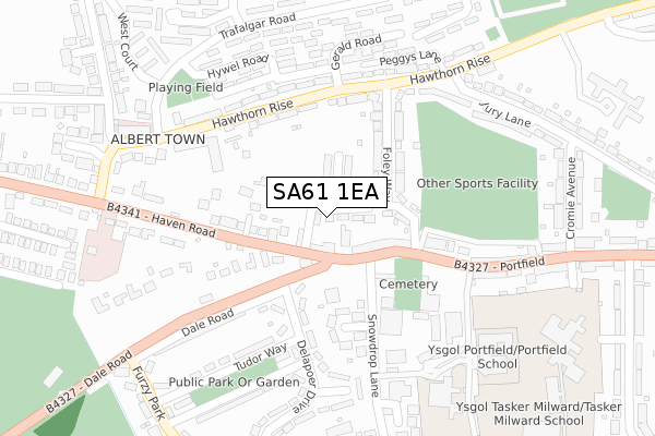
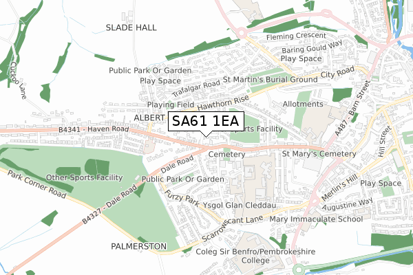
SA61 1EA is located in the Haverfordwest: Portfield electoral ward, within the unitary authority of Pembrokeshire and the Welsh Parliamentary constituency of Preseli Pembrokeshire. The Local Health Board is Hywel Dda University and the police force is Dyfed-Powys. This postcode has been in use since September 2019.


GetTheData
Source: OS Open Zoomstack (Ordnance Survey)
Licence: Open Government Licence (requires attribution)
Attribution: Contains OS data © Crown copyright and database right 2024
Source: Open Postcode Geo
Licence: Open Government Licence (requires attribution)
Attribution: Contains OS data © Crown copyright and database right 2024; Contains Royal Mail data © Royal Mail copyright and database right 2024; Source: Office for National Statistics licensed under the Open Government Licence v.3.0
| Easting | 194147 |
| Northing | 215447 |
| Latitude | 51.799693 |
| Longitude | -4.986922 |
GetTheData
Source: Open Postcode Geo
Licence: Open Government Licence
| Country | Wales |
| Postcode District | SA61 |
| ➜ SA61 open data dashboard ➜ See where SA61 is on a map ➜ Where is Haverfordwest? | |
GetTheData
Source: Land Registry Price Paid Data
Licence: Open Government Licence
| Ward | Haverfordwest: Portfield |
| Constituency | Preseli Pembrokeshire |
GetTheData
Source: ONS Postcode Database
Licence: Open Government Licence
| December 2023 | Violence and sexual offences | On or near North Court | 396m |
| December 2023 | Violence and sexual offences | On or near North Court | 396m |
| December 2023 | Violence and sexual offences | On or near North Court | 396m |
| ➜ Get more crime data in our Crime section | |||
GetTheData
Source: data.police.uk
Licence: Open Government Licence
| Bellevue Inn (Dale Road) | Haverfordwest | 152m |
| Bellevue Inn (Dale Road) | Haverfordwest | 154m |
| Foley Way (Hawthorn Rise) | Haverfordwest | 213m |
| Hawthorn Rise | Haverfordwest | 222m |
| Trafalgar Road | Haverfordwest | 256m |
| Haverfordwest Station | 1.9km |
| Johnston (Pembrokeshire) Station | 4.8km |
GetTheData
Source: NaPTAN
Licence: Open Government Licence
GetTheData
Source: ONS Postcode Database
Licence: Open Government Licence


➜ Get more ratings from the Food Standards Agency
GetTheData
Source: Food Standards Agency
Licence: FSA terms & conditions
| Last Collection | |||
|---|---|---|---|
| Location | Mon-Fri | Sat | Distance |
| Albert Town P O | 17:30 | 12:15 | 124m |
| Hawthorn Rise | 17:30 | 12:15 | 239m |
| St Davids Road | 17:30 | 12:15 | 593m |
GetTheData
Source: Dracos
Licence: Creative Commons Attribution-ShareAlike
| School | Phase of Education | Distance |
|---|---|---|
| Portfield School Off Portfield, Haverfordwest, Pembrokeshire, SA61 1BS | Not applicable | 384m |
| Waldo Williams Primary School Scarrowscant Lane, Haverfordwest, SA61 1BS | Not applicable | 495m |
| Fenton C.P Portfield, Haverfordwest, Pembrokeshire, SA61 1BZ | Not applicable | 506m |
GetTheData
Source: Edubase
Licence: Open Government Licence
The below table lists the International Territorial Level (ITL) codes (formerly Nomenclature of Territorial Units for Statistics (NUTS) codes) and Local Administrative Units (LAU) codes for SA61 1EA:
| ITL 1 Code | Name |
|---|---|
| TLL | Wales |
| ITL 2 Code | Name |
| TLL1 | West Wales and The Valleys |
| ITL 3 Code | Name |
| TLL14 | South West Wales |
| LAU 1 Code | Name |
| W06000009 | Pembrokeshire |
GetTheData
Source: ONS Postcode Directory
Licence: Open Government Licence
The below table lists the Census Output Area (OA), Lower Layer Super Output Area (LSOA), and Middle Layer Super Output Area (MSOA) for SA61 1EA:
| Code | Name | |
|---|---|---|
| OA | W00003046 | |
| LSOA | W01000571 | Pembrokeshire 006A |
| MSOA | W02000131 | Pembrokeshire 006 |
GetTheData
Source: ONS Postcode Directory
Licence: Open Government Licence
| SA61 1BX | Foley Way | 112m |
| SA61 2AZ | Hawthorn Rise | 122m |
| SA61 1DZ | Portfield | 135m |
| SA61 1DX | Haven Road | 143m |
| SA61 2BB | Hawthorn Rise | 157m |
| SA61 2BD | Hawthorn Rise | 184m |
| SA61 2TL | Hywel Road | 201m |
| SA61 1JD | Snowdrop Lane | 205m |
| SA61 2TW | Gerald Road | 213m |
| SA61 1JE | Williamston Close | 223m |
GetTheData
Source: Open Postcode Geo; Land Registry Price Paid Data
Licence: Open Government Licence