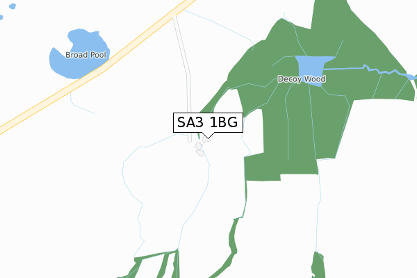
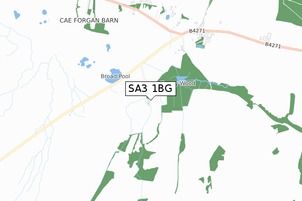
SA3 1BG is located in the Gower electoral ward, within the unitary authority of Swansea and the Welsh Parliamentary constituency of Gower. The Local Health Board is Swansea Bay University and the police force is South Wales. This postcode has been in use since July 2018.


GetTheData
Source: OS Open Zoomstack (Ordnance Survey)
Licence: Open Government Licence (requires attribution)
Attribution: Contains OS data © Crown copyright and database right 2024
Source: Open Postcode Geo
Licence: Open Government Licence (requires attribution)
Attribution: Contains OS data © Crown copyright and database right 2024; Contains Royal Mail data © Royal Mail copyright and database right 2024; Source: Office for National Statistics licensed under the Open Government Licence v.3.0
| Easting | 251295 |
| Northing | 190831 |
| Latitude | 51.596645 |
| Longitude | -4.148343 |
GetTheData
Source: Open Postcode Geo
Licence: Open Government Licence
| Country | Wales |
| Postcode District | SA3 |
| ➜ SA3 open data dashboard ➜ See where SA3 is on a map | |
GetTheData
Source: Land Registry Price Paid Data
Licence: Open Government Licence
| Ward | Gower |
| Constituency | Gower |
GetTheData
Source: ONS Postcode Database
Licence: Open Government Licence
| Shoplands (Reynoldston Road) | Cilibion | 579m |
| Cillibion Saw Mill (B4271) | Cilibion | 701m |
| Cillibion Saw Mill (B4271) | Cilibion | 729m |
| Llanrhidian Turn (B4295) | Llanrhidian | 1,851m |
| Llanrhidian Turn (B4295) | Llanrhidian | 1,860m |
GetTheData
Source: NaPTAN
Licence: Open Government Licence
| Percentage of properties with Next Generation Access | 100.0% |
| Percentage of properties with Superfast Broadband | 100.0% |
| Percentage of properties with Ultrafast Broadband | 100.0% |
| Percentage of properties with Full Fibre Broadband | 100.0% |
Superfast Broadband is between 30Mbps and 300Mbps
Ultrafast Broadband is > 300Mbps
| Percentage of properties unable to receive 2Mbps | 0.0% |
| Percentage of properties unable to receive 5Mbps | 0.0% |
| Percentage of properties unable to receive 10Mbps | 0.0% |
| Percentage of properties unable to receive 30Mbps | 0.0% |
GetTheData
Source: Ofcom
Licence: Ofcom Terms of Use (requires attribution)
GetTheData
Source: ONS Postcode Database
Licence: Open Government Licence


➜ Get more ratings from the Food Standards Agency
GetTheData
Source: Food Standards Agency
Licence: FSA terms & conditions
| Last Collection | |||
|---|---|---|---|
| Location | Mon-Fri | Sat | Distance |
| The Common | 17:00 | 12:15 | 2,052m |
| Old Walls | 17:15 | 12:00 | 2,661m |
| Gwernffrwd | 17:15 | 11:00 | 3,383m |
GetTheData
Source: Dracos
Licence: Creative Commons Attribution-ShareAlike
| School | Phase of Education | Distance |
|---|---|---|
| Llanrhidian Primary School Llanrhidian, Gower, Swansea, SA3 1EH | Not applicable | 2.1km |
| Knelston Primary School Reynoldston, Gower, Swansea, SA3 1AR | Not applicable | 4.8km |
| Pennard Primary School Pennard Road, Pennard, Swansea, SA3 2AD | Not applicable | 4.9km |
GetTheData
Source: Edubase
Licence: Open Government Licence
The below table lists the International Territorial Level (ITL) codes (formerly Nomenclature of Territorial Units for Statistics (NUTS) codes) and Local Administrative Units (LAU) codes for SA3 1BG:
| ITL 1 Code | Name |
|---|---|
| TLL | Wales |
| ITL 2 Code | Name |
| TLL1 | West Wales and The Valleys |
| ITL 3 Code | Name |
| TLL18 | Swansea |
| LAU 1 Code | Name |
| W06000011 | Swansea |
GetTheData
Source: ONS Postcode Directory
Licence: Open Government Licence
The below table lists the Census Output Area (OA), Lower Layer Super Output Area (LSOA), and Middle Layer Super Output Area (MSOA) for SA3 1BG:
| Code | Name | |
|---|---|---|
| OA | W00004165 | |
| LSOA | W01000776 | Swansea 030B |
| MSOA | W02000197 | Swansea 030 |
GetTheData
Source: ONS Postcode Directory
Licence: Open Government Licence
| SA3 1EB | 754m | |
| SA3 1ED | 815m | |
| SA3 2HP | 1596m | |
| SA3 1AW | Whiteford Mews | 1720m |
| SA3 1EE | 1750m | |
| SA3 1EQ | Uplands | 1754m |
| SA3 1ES | 1798m | |
| SA2 7LH | 1913m | |
| SA3 1EL | 1930m | |
| SA3 1EH | 2026m |
GetTheData
Source: Open Postcode Geo; Land Registry Price Paid Data
Licence: Open Government Licence