RG4 9EQ maps, stats, and open data
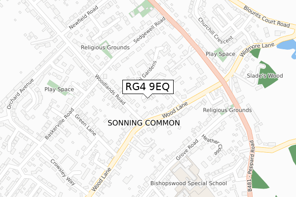
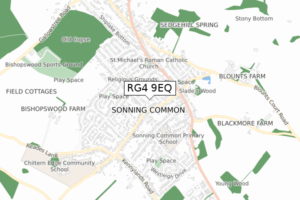
RG4 9EQ is located in the Sonning Common electoral ward, within the local authority district of South Oxfordshire and the English Parliamentary constituency of Henley. The Sub Integrated Care Board (ICB) Location is NHS Buckinghamshire, Oxfordshire and Berkshire West ICB - 10Q and the police force is Thames Valley. This postcode has been in use since November 2019.
RG4 9EQ maps


Licence: Open Government Licence (requires attribution)
Attribution: Contains OS data © Crown copyright and database right 2025
Source: Open Postcode Geo
Licence: Open Government Licence (requires attribution)
Attribution: Contains OS data © Crown copyright and database right 2025; Contains Royal Mail data © Royal Mail copyright and database right 2025; Source: Office for National Statistics licensed under the Open Government Licence v.3.0
RG4 9EQ geodata
| Easting | 470785 |
| Northing | 180422 |
| Latitude | 51.518295 |
| Longitude | -0.981212 |
Where is RG4 9EQ?
| Country | England |
| Postcode District | RG4 |
Politics
| Ward | Sonning Common |
|---|---|
| Constituency | Henley |
House Prices
Sales of detached houses in RG4 9EQ
2025 13 FEB £680,000 |
2024 2 SEP £705,000 |
2021 6 MAY £525,000 |
2020 18 DEC £525,000 |
2020 24 JUL £539,000 |
2020 6 FEB £595,000 |
8, HEATHERFIELD PLACE, SONNING COMMON, READING, RG4 9EQ 2020 8 JAN £675,000 |
9, HEATHERFIELD PLACE, SONNING COMMON, READING, RG4 9EQ 2019 23 DEC £685,000 |
2017 2 AUG £925,000 |
Licence: Contains HM Land Registry data © Crown copyright and database right 2025. This data is licensed under the Open Government Licence v3.0.
Transport
Nearest bus stops to RG4 9EQ
| Post Office (Wood Lane) | Sonning Common | 141m |
| Woodlands Road | Sonning Common | 146m |
| Woodlands Road | Sonning Common | 152m |
| Post Office (Wood Lane) | Sonning Common | 168m |
| Brinds Corner (Wood Lane) | Sonning Common | 192m |
Deprivation
0.8% of English postcodes are less deprived than RG4 9EQ:Food Standards Agency
Three nearest food hygiene ratings to RG4 9EQ (metres)


➜ Get more ratings from the Food Standards Agency
Nearest post box to RG4 9EQ
| Last Collection | |||
|---|---|---|---|
| Location | Mon-Fri | Sat | Distance |
| Sonning Common Post Office | 17:15 | 10:00 | 134m |
| Kennylands | 17:30 | 08:00 | 224m |
| Beech Rise | 17:15 | 08:30 | 463m |
RG4 9EQ ITL and RG4 9EQ LAU
The below table lists the International Territorial Level (ITL) codes (formerly Nomenclature of Territorial Units for Statistics (NUTS) codes) and Local Administrative Units (LAU) codes for RG4 9EQ:
| ITL 1 Code | Name |
|---|---|
| TLJ | South East (England) |
| ITL 2 Code | Name |
| TLJ1 | Berkshire, Buckinghamshire and Oxfordshire |
| ITL 3 Code | Name |
| TLJ14 | Oxfordshire CC |
| LAU 1 Code | Name |
| E07000179 | South Oxfordshire |
RG4 9EQ census areas
The below table lists the Census Output Area (OA), Lower Layer Super Output Area (LSOA), and Middle Layer Super Output Area (MSOA) for RG4 9EQ:
| Code | Name | |
|---|---|---|
| OA | E00145999 | |
| LSOA | E01028665 | South Oxfordshire 020D |
| MSOA | E02005977 | South Oxfordshire 020 |
Nearest postcodes to RG4 9EQ
| RG4 9SP | Wood Lane Close | 87m |
| RG4 9TF | Hazel Gardens | 104m |
| RG4 9SY | Inglewood Close | 139m |
| RG4 9TA | Sedgewell Road | 148m |
| RG4 9SL | Wood Lane | 168m |
| RG4 9SQ | Hugh Carson Close | 185m |
| RG4 9SJ | Wood Lane | 190m |
| RG4 9SU | Peppard Road | 201m |
| RG4 9AW | Woodbury Close | 205m |
| RG4 9TS | Sedgefield Close | 236m |