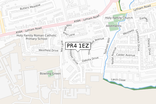
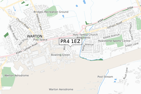
PR4 1EZ is located in the Warton electoral ward, within the local authority district of Fylde and the English Parliamentary constituency of Fylde. The Sub Integrated Care Board (ICB) Location is NHS Lancashire and South Cumbria ICB - 02M and the police force is Lancashire. This postcode has been in use since September 2017.


GetTheData
Source: OS Open Zoomstack (Ordnance Survey)
Licence: Open Government Licence (requires attribution)
Attribution: Contains OS data © Crown copyright and database right 2024
Source: Open Postcode Geo
Licence: Open Government Licence (requires attribution)
Attribution: Contains OS data © Crown copyright and database right 2024; Contains Royal Mail data © Royal Mail copyright and database right 2024; Source: Office for National Statistics licensed under the Open Government Licence v.3.0
| Easting | 341763 |
| Northing | 428522 |
| Latitude | 53.749812 |
| Longitude | -2.884616 |
GetTheData
Source: Open Postcode Geo
Licence: Open Government Licence
| Country | England |
| Postcode District | PR4 |
| ➜ PR4 open data dashboard ➜ See where PR4 is on a map ➜ Where is Warton? | |
GetTheData
Source: Land Registry Price Paid Data
Licence: Open Government Licence
| Ward | Warton |
| Constituency | Fylde |
GetTheData
Source: ONS Postcode Database
Licence: Open Government Licence
1, SPITFIRE DRIVE, WARTON, PRESTON, PR4 1EZ 2018 21 SEP £269,995 |
6, SPITFIRE DRIVE, WARTON, PRESTON, PR4 1EZ 2018 7 JUN £202,995 |
GetTheData
Source: HM Land Registry Price Paid Data
Licence: Contains HM Land Registry data © Crown copyright and database right 2024. This data is licensed under the Open Government Licence v3.0.
| January 2024 | Violence and sexual offences | On or near Peg Way | 135m |
| November 2023 | Violence and sexual offences | On or near Peg Way | 135m |
| November 2023 | Shoplifting | On or near Peg Way | 135m |
| ➜ Get more crime data in our Crime section | |||
GetTheData
Source: data.police.uk
Licence: Open Government Licence
| Mill Lane (Lytham Road) | Warton | 155m |
| Mill Lane (Lytham Road) | Warton | 179m |
| Holy Family Church (Lamaleach Bridge) | Freckleton | 356m |
| Lamaleach Caravan Park (Larch Close) | Freckleton | 417m |
| Lamaleach Drive (Lytham Road) | Freckleton | 440m |
| Kirkham & Wesham Station | 4.1km |
| Moss Side Station | 4.2km |
| Salwick Station | 5.7km |
GetTheData
Source: NaPTAN
Licence: Open Government Licence
➜ Broadband speed and availability dashboard for PR4 1EZ
| Percentage of properties with Next Generation Access | 100.0% |
| Percentage of properties with Superfast Broadband | 100.0% |
| Percentage of properties with Ultrafast Broadband | 100.0% |
| Percentage of properties with Full Fibre Broadband | 0.0% |
Superfast Broadband is between 30Mbps and 300Mbps
Ultrafast Broadband is > 300Mbps
| Median download speed | 100.0Mbps |
| Average download speed | 129.4Mbps |
| Maximum download speed | 350.00Mbps |
| Median upload speed | 9.9Mbps |
| Average upload speed | 9.9Mbps |
| Maximum upload speed | 10.00Mbps |
| Percentage of properties unable to receive 2Mbps | 0.0% |
| Percentage of properties unable to receive 5Mbps | 0.0% |
| Percentage of properties unable to receive 10Mbps | 0.0% |
| Percentage of properties unable to receive 30Mbps | 0.0% |
➜ Broadband speed and availability dashboard for PR4 1EZ
GetTheData
Source: Ofcom
Licence: Ofcom Terms of Use (requires attribution)
GetTheData
Source: ONS Postcode Database
Licence: Open Government Licence


➜ Get more ratings from the Food Standards Agency
GetTheData
Source: Food Standards Agency
Licence: FSA terms & conditions
| Last Collection | |||
|---|---|---|---|
| Location | Mon-Fri | Sat | Distance |
| Harbour Lane | 16:30 | 09:00 | 595m |
| Kirkgate, Kirkham | 17:30 | 10:00 | 3,515m |
| Town End | 17:30 | 09:45 | 3,600m |
GetTheData
Source: Dracos
Licence: Creative Commons Attribution-ShareAlike
| Facility | Distance |
|---|---|
| Bactive Fitness Centre Mill Lane, Warton, Preston Health and Fitness Gym, Sports Hall, Studio, Squash Courts, Artificial Grass Pitch | 154m |
| Holy Family Catholic Primary School Lytham Road, Warton, Preston Grass Pitches | 285m |
| Bridges Recreation Ground Canberra Way, Bryning With Warton Grass Pitches | 621m |
GetTheData
Source: Active Places
Licence: Open Government Licence
| School | Phase of Education | Distance |
|---|---|---|
| Holy Family Catholic Primary School, Warton Lytham Road, Warton, Preston, PR4 1AD | Primary | 285m |
| Warton St Paul's Church of England Primary Academy Lytham Road, Warton, Preston, PR4 1AH | Primary | 755m |
| Freckleton Church of England Primary School School Lane, Freckleton, Preston, PR4 1PJ | Primary | 1.5km |
GetTheData
Source: Edubase
Licence: Open Government Licence
The below table lists the International Territorial Level (ITL) codes (formerly Nomenclature of Territorial Units for Statistics (NUTS) codes) and Local Administrative Units (LAU) codes for PR4 1EZ:
| ITL 1 Code | Name |
|---|---|
| TLD | North West (England) |
| ITL 2 Code | Name |
| TLD4 | Lancashire |
| ITL 3 Code | Name |
| TLD45 | Mid Lancashire |
| LAU 1 Code | Name |
| E07000119 | Fylde |
GetTheData
Source: ONS Postcode Directory
Licence: Open Government Licence
The below table lists the Census Output Area (OA), Lower Layer Super Output Area (LSOA), and Middle Layer Super Output Area (MSOA) for PR4 1EZ:
| Code | Name | |
|---|---|---|
| OA | E00127034 | |
| LSOA | E01025030 | Fylde 007E |
| MSOA | E02005209 | Fylde 007 |
GetTheData
Source: ONS Postcode Directory
Licence: Open Government Licence
| PR4 1ES | Grasshopper Drive | 76m |
| PR4 1AQ | Mill Lane | 97m |
| PR4 1BF | Thunderbolt Avenue | 120m |
| PR4 1AD | Lytham Road | 164m |
| PR4 1EY | Texan Close | 168m |
| PR4 1EB | Millfield Close | 170m |
| PR4 1XD | Lytham Road | 210m |
| PR4 1ED | Westfield Drive | 219m |
| PR4 1LD | Ribble View Close | 245m |
| PR4 1DJ | Rydal Avenue | 282m |
GetTheData
Source: Open Postcode Geo; Land Registry Price Paid Data
Licence: Open Government Licence