Property/Postcode Data Search:
PR2 5DP maps, stats, and open data
PR2 5DP is located in the Preston Rural East electoral ward, within the local authority district of Preston and the English Parliamentary constituency of Wyre and Preston North. The Sub Integrated Care Board (ICB) Location is NHS Lancashire and South Cumbria ICB - 01E and the police force is Lancashire. This postcode has been in use since April 2020.
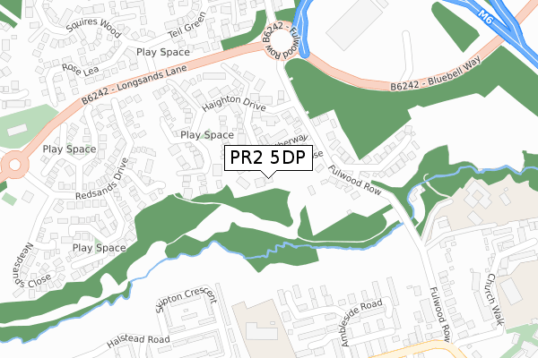
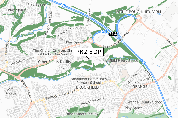
PR2 5DP maps


Source: OS Open Zoomstack (Ordnance Survey)
Licence: Open Government Licence (requires attribution)
Attribution: Contains OS data © Crown copyright and database right 2025
Source: Open Postcode Geo
Licence: Open Government Licence (requires attribution)
Attribution: Contains OS data © Crown copyright and database right 2025; Contains Royal Mail data © Royal Mail copyright and database right 2025; Source: Office for National Statistics licensed under the Open Government Licence v.3.0
Licence: Open Government Licence (requires attribution)
Attribution: Contains OS data © Crown copyright and database right 2025
Source: Open Postcode Geo
Licence: Open Government Licence (requires attribution)
Attribution: Contains OS data © Crown copyright and database right 2025; Contains Royal Mail data © Royal Mail copyright and database right 2025; Source: Office for National Statistics licensed under the Open Government Licence v.3.0
PR2 5DP geodata
| Easting | 359546 |
| Northing | 434518 |
| Latitude | 53.805388 |
| Longitude | -2.615755 |
Where is PR2 5DP?
| Country | England |
| Postcode District | PR2 |
Politics
| Ward | Preston Rural East |
|---|---|
| Constituency | Wyre And Preston North |
House Prices
Sales of detached houses in PR2 5DP
2024 13 DEC £360,000 |
3, COTTON STREET, GRIMSARGH, PRESTON, PR2 5DP 2023 17 NOV £275,496 |
1, COTTON STREET, GRIMSARGH, PRESTON, PR2 5DP 2023 10 NOV £287,995 |
5, COTTON STREET, GRIMSARGH, PRESTON, PR2 5DP 2023 10 NOV £341,995 |
2023 13 OCT £349,995 |
2, COTTON STREET, GRIMSARGH, PRESTON, PR2 5DP 2023 27 APR £354,995 |
Source: HM Land Registry Price Paid Data
Licence: Contains HM Land Registry data © Crown copyright and database right 2025. This data is licensed under the Open Government Licence v3.0.
Licence: Contains HM Land Registry data © Crown copyright and database right 2025. This data is licensed under the Open Government Licence v3.0.
Transport
Nearest bus stops to PR2 5DP
| Elston Lane (Preston Road) | Grimsargh | 232m |
| Elston Lane (Preston Road) | Grimsargh | 233m |
| Alston Lane Rcps (Preston Road) | Grimsargh | 432m |
| Sunnybank (Longridge Road) | Grimsargh | 454m |
| Alston Lane Rcps (Preston Road) | Grimsargh | 464m |
Deprivation
5.5% of English postcodes are less deprived than PR2 5DP:Food Standards Agency
Three nearest food hygiene ratings to PR2 5DP (metres)
Alston Lane RC School

Alston Lane Catholic Primary School
437m
The Plough Hotel

187 Preston Road
498m
Grimsargh Village Store

144-146 Preston Road
1,242m
➜ Get more ratings from the Food Standards Agency
Nearest post box to PR2 5DP
| Last Collection | |||
|---|---|---|---|
| Location | Mon-Fri | Sat | Distance |
| Grimsargh Post Office | 18:30 | 12:30 | 948m |
| Longridge Post Office | 18:00 | 12:00 | 3,004m |
| Willow Park Lane, Longridge | 17:45 | 12:00 | 3,202m |
PR2 5DP ITL and PR2 5DP LAU
The below table lists the International Territorial Level (ITL) codes (formerly Nomenclature of Territorial Units for Statistics (NUTS) codes) and Local Administrative Units (LAU) codes for PR2 5DP:
| ITL 1 Code | Name |
|---|---|
| TLD | North West (England) |
| ITL 2 Code | Name |
| TLD4 | Lancashire |
| ITL 3 Code | Name |
| TLD45 | Mid Lancashire |
| LAU 1 Code | Name |
| E07000123 | Preston |
PR2 5DP census areas
The below table lists the Census Output Area (OA), Lower Layer Super Output Area (LSOA), and Middle Layer Super Output Area (MSOA) for PR2 5DP:
| Code | Name | |
|---|---|---|
| OA | E00128297 | |
| LSOA | E01025278 | Preston 001A |
| MSOA | E02005253 | Preston 001 |
Nearest postcodes to PR2 5DP
| PR2 5JT | Preston Road | 231m |
| PR2 5LR | Elston Green | 340m |
| PR2 5LD | Tunbrook Avenue | 349m |
| PR3 3BJ | Preston Road | 438m |
| PR2 5LB | Woodlands Grove | 443m |
| PR2 5LL | Lindale Avenue | 540m |
| PR2 5JS | Preston Road | 573m |
| PR2 5JR | Preston Road | 579m |
| PR2 5LJ | Cedar Close | 603m |
| PR2 5LP | Maple Grove | 613m |