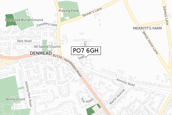
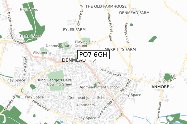
PO7 6GH is located in the Denmead electoral ward, within the local authority district of Winchester and the English Parliamentary constituency of Meon Valley. The Sub Integrated Care Board (ICB) Location is NHS Hampshire and Isle of Wight ICB - D9Y0V and the police force is Hampshire. This postcode has been in use since December 2019.


GetTheData
Source: OS Open Zoomstack (Ordnance Survey)
Licence: Open Government Licence (requires attribution)
Attribution: Contains OS data © Crown copyright and database right 2025
Source: Open Postcode Geo
Licence: Open Government Licence (requires attribution)
Attribution: Contains OS data © Crown copyright and database right 2025; Contains Royal Mail data © Royal Mail copyright and database right 2025; Source: Office for National Statistics licensed under the Open Government Licence v.3.0
| Easting | 466070 |
| Northing | 112116 |
| Latitude | 50.904737 |
| Longitude | -1.061721 |
GetTheData
Source: Open Postcode Geo
Licence: Open Government Licence
| Country | England |
| Postcode District | PO7 |
➜ See where PO7 is on a map ➜ Where is Denmead? | |
GetTheData
Source: Land Registry Price Paid Data
Licence: Open Government Licence
| Ward | Denmead |
| Constituency | Meon Valley |
GetTheData
Source: ONS Postcode Database
Licence: Open Government Licence
21, CARPENTERS WAY, DENMEAD, WATERLOOVILLE, PO7 6GH 2020 17 DEC £349,995 |
24, CARPENTERS WAY, DENMEAD, WATERLOOVILLE, PO7 6GH 2020 11 SEP £399,995 |
19, CARPENTERS WAY, DENMEAD, WATERLOOVILLE, PO7 6GH 2020 30 JUN £349,995 |
26, CARPENTERS WAY, DENMEAD, WATERLOOVILLE, PO7 6GH 2020 26 JUN £324,995 |
20, CARPENTERS WAY, DENMEAD, WATERLOOVILLE, PO7 6GH 2020 25 JUN £324,995 |
22, CARPENTERS WAY, DENMEAD, WATERLOOVILLE, PO7 6GH 2020 25 JUN £339,995 |
2019 23 DEC £462,995 |
2, CARPENTERS WAY, DENMEAD, WATERLOOVILLE, PO7 6GH 2019 20 DEC £450,000 |
GetTheData
Source: HM Land Registry Price Paid Data
Licence: Contains HM Land Registry data © Crown copyright and database right 2025. This data is licensed under the Open Government Licence v3.0.
| War Memorial Hall (Hambledon Road (B2150)) | Denmead | 206m |
| War Memorial Hall (Hambledon Road (B2150)) | Denmead | 227m |
| Denmead Green (Hambledon Road (B2150)) | Denmead | 339m |
| Denmead Green (Hambledon Road (B2150)) | Denmead | 410m |
| Bere Road | Denmead | 476m |
GetTheData
Source: NaPTAN
Licence: Open Government Licence
GetTheData
Source: ONS Postcode Database
Licence: Open Government Licence


➜ Get more ratings from the Food Standards Agency
GetTheData
Source: Food Standards Agency
Licence: FSA terms & conditions
| Last Collection | |||
|---|---|---|---|
| Location | Mon-Fri | Sat | Distance |
| Denmead Post Office | 18:30 | 12:00 | 274m |
| Denmead Post Office | 18:30 | 12:00 | 278m |
| Ashlyn Park Road | 16:45 | 11:00 | 508m |
GetTheData
Source: Dracos
Licence: Creative Commons Attribution-ShareAlike
The below table lists the International Territorial Level (ITL) codes (formerly Nomenclature of Territorial Units for Statistics (NUTS) codes) and Local Administrative Units (LAU) codes for PO7 6GH:
| ITL 1 Code | Name |
|---|---|
| TLJ | South East (England) |
| ITL 2 Code | Name |
| TLJ3 | Hampshire and Isle of Wight |
| ITL 3 Code | Name |
| TLJ36 | Central Hampshire |
| LAU 1 Code | Name |
| E07000094 | Winchester |
GetTheData
Source: ONS Postcode Directory
Licence: Open Government Licence
The below table lists the Census Output Area (OA), Lower Layer Super Output Area (LSOA), and Middle Layer Super Output Area (MSOA) for PO7 6GH:
| Code | Name | |
|---|---|---|
| OA | E00118050 | |
| LSOA | E01023233 | Winchester 014D |
| MSOA | E02004842 | Winchester 014 |
GetTheData
Source: ONS Postcode Directory
Licence: Open Government Licence
| PO7 6JZ | Kidmore Lane | 194m |
| PO7 6NP | Anmore Road | 202m |
| PO7 6NW | Anmore Road | 205m |
| PO7 6HL | Hambledon Road | 212m |
| PO7 6JU | Kidmore Lane | 250m |
| PO7 6PP | Hambledon Road | 258m |
| PO7 6PW | Hambledon Road | 259m |
| PO7 6PR | Ashling Gardens | 266m |
| PO7 6NU | Hambledon Road | 270m |
| PO7 6TL | Ludcombe | 288m |
GetTheData
Source: Open Postcode Geo; Land Registry Price Paid Data
Licence: Open Government Licence