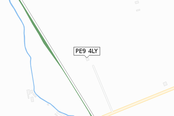
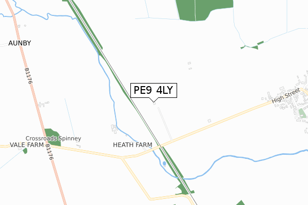
PE9 4LY is located in the Glen electoral ward, within the local authority district of South Kesteven and the English Parliamentary constituency of Grantham and Stamford. The Sub Integrated Care Board (ICB) Location is NHS Lincolnshire ICB - 71E and the police force is Lincolnshire. This postcode has been in use since November 2019.


GetTheData
Source: OS Open Zoomstack (Ordnance Survey)
Licence: Open Government Licence (requires attribution)
Attribution: Contains OS data © Crown copyright and database right 2024
Source: Open Postcode Geo
Licence: Open Government Licence (requires attribution)
Attribution: Contains OS data © Crown copyright and database right 2024; Contains Royal Mail data © Royal Mail copyright and database right 2024; Source: Office for National Statistics licensed under the Open Government Licence v.3.0
| Easting | 503773 |
| Northing | 313999 |
| Latitude | 52.713730 |
| Longitude | -0.465262 |
GetTheData
Source: Open Postcode Geo
Licence: Open Government Licence
| Country | England |
| Postcode District | PE9 |
| ➜ PE9 open data dashboard ➜ See where PE9 is on a map | |
GetTheData
Source: Land Registry Price Paid Data
Licence: Open Government Licence
| Ward | Glen |
| Constituency | Grantham And Stamford |
GetTheData
Source: ONS Postcode Database
Licence: Open Government Licence
| Demand Responsive Area | Carlby | 1,210m |
| Village Hall (High Street) | Carlby | 1,278m |
| Village Hall (High Street) | Carlby | 1,307m |
| Manor Road (High Street) | Carlby | 1,442m |
| Manor Road (High Street) | Carlby | 1,462m |
GetTheData
Source: NaPTAN
Licence: Open Government Licence
GetTheData
Source: ONS Postcode Database
Licence: Open Government Licence

➜ Get more ratings from the Food Standards Agency
GetTheData
Source: Food Standards Agency
Licence: FSA terms & conditions
| Last Collection | |||
|---|---|---|---|
| Location | Mon-Fri | Sat | Distance |
| Aunby | 16:00 | 07:30 | 1,293m |
| Carlby | 16:00 | 09:30 | 1,304m |
| Essendine Post Office | 16:00 | 08:30 | 1,584m |
GetTheData
Source: Dracos
Licence: Creative Commons Attribution-ShareAlike
| Facility | Distance |
|---|---|
| Witham Hall School Witham-on-the-hill, Bourne Sports Hall, Squash Courts, Grass Pitches, Artificial Grass Pitch, Golf, Outdoor Tennis Courts, Studio, Health and Fitness Gym | 3km |
| Ryhall Church Of England Academy Church Street, Church Street, Ryhall, Stamford Grass Pitches | 3.4km |
| Meadow Playing Fields Parkfield Road, Ryhall, Stamford Grass Pitches, Outdoor Tennis Courts | 3.4km |
GetTheData
Source: Active Places
Licence: Open Government Licence
| School | Phase of Education | Distance |
|---|---|---|
| Witham Hall School Witham-on-the-Hill, Bourne, PE10 0JJ | Not applicable | 3km |
| Ryhall CofE Academy Church Street, Ryhall, Stamford, PE9 4HR | Primary | 3.4km |
| Casterton College Rutland Ryhall Road, Great Casterton, Stamford, PE9 4AT | Secondary | 5.8km |
GetTheData
Source: Edubase
Licence: Open Government Licence
The below table lists the International Territorial Level (ITL) codes (formerly Nomenclature of Territorial Units for Statistics (NUTS) codes) and Local Administrative Units (LAU) codes for PE9 4LY:
| ITL 1 Code | Name |
|---|---|
| TLF | East Midlands (England) |
| ITL 2 Code | Name |
| TLF3 | Lincolnshire |
| ITL 3 Code | Name |
| TLF30 | Lincolnshire CC |
| LAU 1 Code | Name |
| E07000141 | South Kesteven |
GetTheData
Source: ONS Postcode Directory
Licence: Open Government Licence
The below table lists the Census Output Area (OA), Lower Layer Super Output Area (LSOA), and Middle Layer Super Output Area (MSOA) for PE9 4LY:
| Code | Name | |
|---|---|---|
| OA | E00133736 | |
| LSOA | E01026330 | South Kesteven 012A |
| MSOA | E02005487 | South Kesteven 012 |
GetTheData
Source: ONS Postcode Directory
Licence: Open Government Licence
| PE9 4NG | Farriers Way | 1054m |
| PE9 4NB | Church Street | 1168m |
| PE9 4LX | High Street | 1220m |
| PE9 4ED | Stoney Glen | 1249m |
| PE9 4NH | The Paddocks | 1281m |
| PE9 4NA | The Avenue | 1300m |
| PE9 4NQ | Templeman Drive | 1345m |
| PE9 4UR | Plover Road | 1388m |
| PE9 4LA | Manor Farm Lane | 1417m |
| PE9 4UT | Avocet Close | 1425m |
GetTheData
Source: Open Postcode Geo; Land Registry Price Paid Data
Licence: Open Government Licence