PE20 3FG maps, stats, and open data
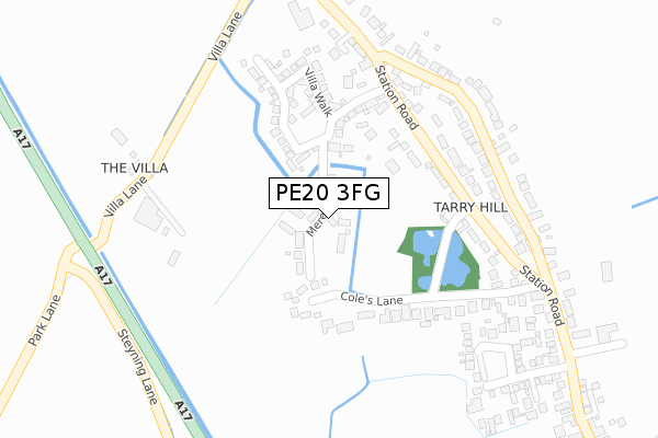
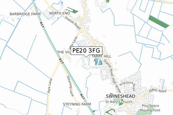
PE20 3FG is located in the Swineshead and Holland Fen electoral ward, within the local authority district of Boston and the English Parliamentary constituency of Boston and Skegness. The Sub Integrated Care Board (ICB) Location is NHS Lincolnshire ICB - 71E and the police force is Lincolnshire. This postcode has been in use since June 2019.
PE20 3FG maps


Licence: Open Government Licence (requires attribution)
Attribution: Contains OS data © Crown copyright and database right 2025
Source: Open Postcode Geo
Licence: Open Government Licence (requires attribution)
Attribution: Contains OS data © Crown copyright and database right 2025; Contains Royal Mail data © Royal Mail copyright and database right 2025; Source: Office for National Statistics licensed under the Open Government Licence v.3.0
PE20 3FG geodata
| Easting | 523199 |
| Northing | 340779 |
| Latitude | 52.950278 |
| Longitude | -0.167748 |
Where is PE20 3FG?
| Country | England |
| Postcode District | PE20 |
Politics
| Ward | Swineshead And Holland Fen |
|---|---|
| Constituency | Boston And Skegness |
House Prices
Sales of detached houses in PE20 3FG
2025 20 JUN £365,000 |
2025 31 MAR £220,000 |
2024 25 OCT £330,000 |
2024 20 SEP £345,000 |
2023 28 APR £320,000 |
2022 3 MAR £237,000 |
31, MERES WAY, SWINESHEAD, BOSTON, PE20 3FG 2021 5 AUG £315,000 |
2021 25 JUN £315,000 |
17, MERES WAY, SWINESHEAD, BOSTON, PE20 3FG 2021 25 JUN £287,000 |
2021 22 MAR £285,000 |
Licence: Contains HM Land Registry data © Crown copyright and database right 2025. This data is licensed under the Open Government Licence v3.0.
Transport
Nearest bus stops to PE20 3FG
| Tarry Hill (Station Road) | Swineshead | 248m |
| Cole's Lane (Station Road) | Swineshead | 360m |
| Tarry Hill (Station Road) | Swineshead | 362m |
| Cole's Lane (Station Road) | Swineshead | 384m |
| King John's Road (High Street) | Swineshead | 546m |
Nearest railway stations to PE20 3FG
| Swineshead Station | 2.5km |
| Hubberts Bridge Station | 4.8km |
Broadband
Broadband access in PE20 3FG (2020 data)
| Percentage of properties with Next Generation Access | 100.0% |
| Percentage of properties with Superfast Broadband | 93.2% |
| Percentage of properties with Ultrafast Broadband | 27.0% |
| Percentage of properties with Full Fibre Broadband | 27.0% |
Superfast Broadband is between 30Mbps and 300Mbps
Ultrafast Broadband is > 300Mbps
Broadband limitations in PE20 3FG (2020 data)
| Percentage of properties unable to receive 2Mbps | 0.0% |
| Percentage of properties unable to receive 5Mbps | 0.0% |
| Percentage of properties unable to receive 10Mbps | 0.0% |
| Percentage of properties unable to receive 30Mbps | 6.8% |
Deprivation
74.4% of English postcodes are less deprived than PE20 3FG:Food Standards Agency
Three nearest food hygiene ratings to PE20 3FG (metres)


➜ Get more ratings from the Food Standards Agency
Nearest post box to PE20 3FG
| Last Collection | |||
|---|---|---|---|
| Location | Mon-Fri | Sat | Distance |
| North End | 16:00 | 09:30 | 590m |
| Swineshead Post Office | 17:15 | 10:30 | 684m |
| Beeck Bridge | 17:15 | 07:30 | 1,141m |
Environment
| Risk of PE20 3FG flooding from rivers and sea | Medium |
PE20 3FG ITL and PE20 3FG LAU
The below table lists the International Territorial Level (ITL) codes (formerly Nomenclature of Territorial Units for Statistics (NUTS) codes) and Local Administrative Units (LAU) codes for PE20 3FG:
| ITL 1 Code | Name |
|---|---|
| TLF | East Midlands (England) |
| ITL 2 Code | Name |
| TLF3 | Lincolnshire |
| ITL 3 Code | Name |
| TLF30 | Lincolnshire CC |
| LAU 1 Code | Name |
| E07000136 | Boston |
PE20 3FG census areas
The below table lists the Census Output Area (OA), Lower Layer Super Output Area (LSOA), and Middle Layer Super Output Area (MSOA) for PE20 3FG:
| Code | Name | |
|---|---|---|
| OA | E00132114 | |
| LSOA | E01026033 | Boston 006B |
| MSOA | E02005422 | Boston 006 |
Nearest postcodes to PE20 3FG
| PE20 3BP | The Old School Yard | 222m |
| PE20 3NX | Station Road | 227m |
| PE20 3NS | Coles Lane | 236m |
| PE20 3LW | Tarry Hill | 317m |
| PE20 3UD | Lockton Close | 322m |
| PE20 3NZ | Station Road | 352m |
| PE20 3NG | Park Lane | 365m |
| PE20 3UE | Hillcrest Gardens | 380m |
| PE20 3LL | Tarry Hill | 414m |
| PE20 3PD | Station Road | 468m |