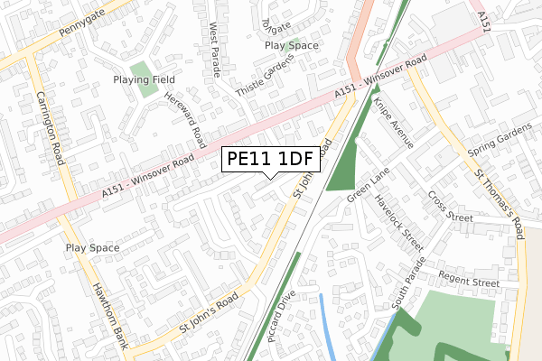
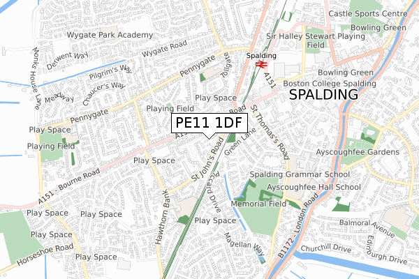
PE11 1DF is located in the Spalding St John's electoral ward, within the local authority district of South Holland and the English Parliamentary constituency of South Holland and The Deepings. The Sub Integrated Care Board (ICB) Location is NHS Lincolnshire ICB - 71E and the police force is Lincolnshire. This postcode has been in use since October 2018.


GetTheData
Source: OS Open Zoomstack (Ordnance Survey)
Licence: Open Government Licence (requires attribution)
Attribution: Contains OS data © Crown copyright and database right 2025
Source: Open Postcode Geo
Licence: Open Government Licence (requires attribution)
Attribution: Contains OS data © Crown copyright and database right 2025; Contains Royal Mail data © Royal Mail copyright and database right 2025; Source: Office for National Statistics licensed under the Open Government Licence v.3.0
| Easting | 524062 |
| Northing | 322390 |
| Latitude | 52.784858 |
| Longitude | -0.161904 |
GetTheData
Source: Open Postcode Geo
Licence: Open Government Licence
| Country | England |
| Postcode District | PE11 |
➜ See where PE11 is on a map ➜ Where is Spalding? | |
GetTheData
Source: Land Registry Price Paid Data
Licence: Open Government Licence
| Ward | Spalding St John's |
| Constituency | South Holland And The Deepings |
GetTheData
Source: ONS Postcode Database
Licence: Open Government Licence
| Victory Court (St Johns Road) | Spalding | 80m |
| Victory Court (St Johns Road) | Spalding | 120m |
| Beechams Mews (St Johns Road) | Spalding | 206m |
| Beechams Mews (St Johns Road) | Spalding | 232m |
| Green Lane (St Thomas's Road) | Spalding | 320m |
| Spalding Station | 0.6km |
GetTheData
Source: NaPTAN
Licence: Open Government Licence
| Percentage of properties with Next Generation Access | 100.0% |
| Percentage of properties with Superfast Broadband | 100.0% |
| Percentage of properties with Ultrafast Broadband | 100.0% |
| Percentage of properties with Full Fibre Broadband | 100.0% |
Superfast Broadband is between 30Mbps and 300Mbps
Ultrafast Broadband is > 300Mbps
| Percentage of properties unable to receive 2Mbps | 0.0% |
| Percentage of properties unable to receive 5Mbps | 0.0% |
| Percentage of properties unable to receive 10Mbps | 0.0% |
| Percentage of properties unable to receive 30Mbps | 0.0% |
GetTheData
Source: Ofcom
Licence: Ofcom Terms of Use (requires attribution)
GetTheData
Source: ONS Postcode Database
Licence: Open Government Licence


➜ Get more ratings from the Food Standards Agency
GetTheData
Source: Food Standards Agency
Licence: FSA terms & conditions
| Last Collection | |||
|---|---|---|---|
| Location | Mon-Fri | Sat | Distance |
| Westlode Street | 17:45 | 12:00 | 795m |
| Horseshoe Road Bridge | 16:00 | 11:00 | 1,932m |
| Springfields | 17:40 | 12:00 | 2,760m |
GetTheData
Source: Dracos
Licence: Creative Commons Attribution-ShareAlike
| Risk of PE11 1DF flooding from rivers and sea | Medium |
| ➜ PE11 1DF flood map | |
GetTheData
Source: Open Flood Risk by Postcode
Licence: Open Government Licence
The below table lists the International Territorial Level (ITL) codes (formerly Nomenclature of Territorial Units for Statistics (NUTS) codes) and Local Administrative Units (LAU) codes for PE11 1DF:
| ITL 1 Code | Name |
|---|---|
| TLF | East Midlands (England) |
| ITL 2 Code | Name |
| TLF3 | Lincolnshire |
| ITL 3 Code | Name |
| TLF30 | Lincolnshire CC |
| LAU 1 Code | Name |
| E07000140 | South Holland |
GetTheData
Source: ONS Postcode Directory
Licence: Open Government Licence
The below table lists the Census Output Area (OA), Lower Layer Super Output Area (LSOA), and Middle Layer Super Output Area (MSOA) for PE11 1DF:
| Code | Name | |
|---|---|---|
| OA | E00133406 | |
| LSOA | E01026267 | South Holland 009E |
| MSOA | E02005473 | South Holland 009 |
GetTheData
Source: ONS Postcode Directory
Licence: Open Government Licence
| PE11 1GY | Eaton Gardens | 85m |
| PE11 1JB | St Johns Road | 85m |
| PE11 1JT | Apeldoorn Gardens | 87m |
| PE11 1HZ | St Johns Road | 103m |
| PE11 1HE | Winsover Road | 123m |
| PE11 2YD | Green Lane | 162m |
| PE11 2GR | Palin Drive | 177m |
| PE11 1XH | Beechams Mews | 179m |
| PE11 1HA | Winsover Road | 181m |
| PE11 2YS | Thompson Close | 204m |
GetTheData
Source: Open Postcode Geo; Land Registry Price Paid Data
Licence: Open Government Licence