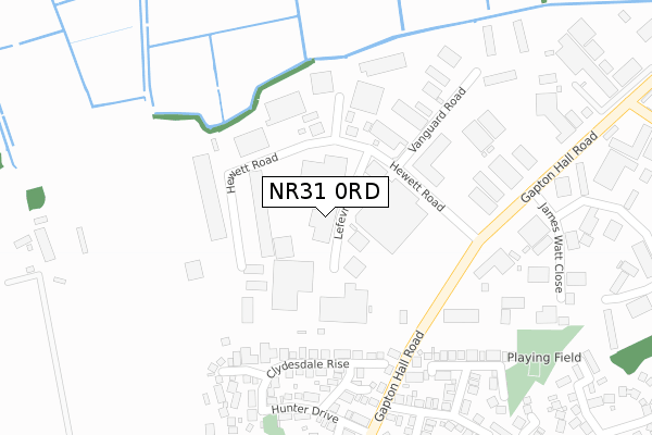
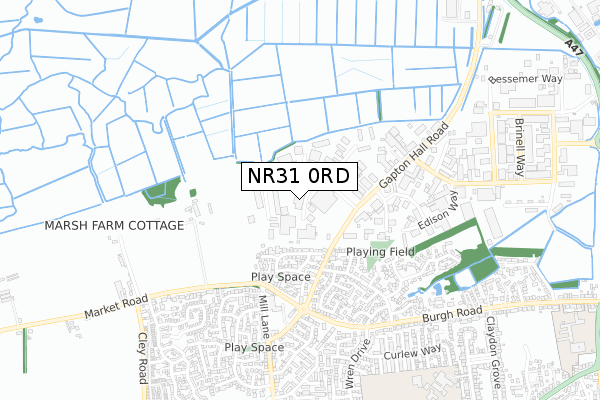
NR31 0RD is located in the Bradwell North electoral ward, within the local authority district of Great Yarmouth and the English Parliamentary constituency of Great Yarmouth. The Sub Integrated Care Board (ICB) Location is NHS Norfolk and Waveney ICB - 26A and the police force is Norfolk. This postcode has been in use since February 2020.


GetTheData
Source: OS Open Zoomstack (Ordnance Survey)
Licence: Open Government Licence (requires attribution)
Attribution: Contains OS data © Crown copyright and database right 2024
Source: Open Postcode Geo
Licence: Open Government Licence (requires attribution)
Attribution: Contains OS data © Crown copyright and database right 2024; Contains Royal Mail data © Royal Mail copyright and database right 2024; Source: Office for National Statistics licensed under the Open Government Licence v.3.0
| Easting | 651101 |
| Northing | 305760 |
| Latitude | 52.591607 |
| Longitude | 1.705886 |
GetTheData
Source: Open Postcode Geo
Licence: Open Government Licence
| Country | England |
| Postcode District | NR31 |
| ➜ NR31 open data dashboard ➜ See where NR31 is on a map ➜ Where is Bradwell? | |
GetTheData
Source: Land Registry Price Paid Data
Licence: Open Government Licence
| Ward | Bradwell North |
| Constituency | Great Yarmouth |
GetTheData
Source: ONS Postcode Database
Licence: Open Government Licence
| June 2023 | Criminal damage and arson | On or near Cotman Drive | 435m |
| January 2023 | Violence and sexual offences | On or near Cotman Drive | 435m |
| January 2023 | Violence and sexual offences | On or near Cotman Drive | 435m |
| ➜ Get more crime data in our Crime section | |||
GetTheData
Source: data.police.uk
Licence: Open Government Licence
| Lefevre Way (Hewett Road) | Bradwell | 253m |
| Faraday Road (Morton Peto Road) | Great Yarmouth | 261m |
| Boundary Road (Bessemer Way) | Great Yarmouth | 511m |
| Brinell Way (Boundary Road) | Great Yarmouth | 556m |
| Gainsborough Avenue (Burgh Road) | Bradwell | 630m |
| Great Yarmouth Station | 2.5km |
GetTheData
Source: NaPTAN
Licence: Open Government Licence
GetTheData
Source: ONS Postcode Database
Licence: Open Government Licence


➜ Get more ratings from the Food Standards Agency
GetTheData
Source: Food Standards Agency
Licence: FSA terms & conditions
| Last Collection | |||
|---|---|---|---|
| Location | Mon-Fri | Sat | Distance |
| Morton Peto Road | 17:30 | 265m | |
| Morton Peto Road | 17:30 | 12:30 | 268m |
| Boundary Road | 17:30 | 12:30 | 776m |
GetTheData
Source: Dracos
Licence: Creative Commons Attribution-ShareAlike
| Facility | Distance |
|---|---|
| Bwell Gym Bessemer Way, Great Yarmouth Health and Fitness Gym, Studio | 527m |
| Harfries Fitness Centre (Closed) Bessemer Way, Great Yarmouth Studio, Health and Fitness Gym | 529m |
| Lynn Grove Academy Lynn Grove, Gorleston, Great Yarmouth Sports Hall, Grass Pitches, Artificial Grass Pitch | 933m |
GetTheData
Source: Active Places
Licence: Open Government Licence
| School | Phase of Education | Distance |
|---|---|---|
| Lynn Grove Academy Lynn Grove, Gorleston, Great Yarmouth, NR31 8AP | Secondary | 918m |
| Wroughton Infant Academy Beccles Road, Gorleston, Great Yarmouth, NR31 8AH | Primary | 1.1km |
| Wroughton Junior Academy Burgh Road, Gorleston, Great Yarmouth, NR31 8BD | Primary | 1.1km |
GetTheData
Source: Edubase
Licence: Open Government Licence
The below table lists the International Territorial Level (ITL) codes (formerly Nomenclature of Territorial Units for Statistics (NUTS) codes) and Local Administrative Units (LAU) codes for NR31 0RD:
| ITL 1 Code | Name |
|---|---|
| TLH | East |
| ITL 2 Code | Name |
| TLH1 | East Anglia |
| ITL 3 Code | Name |
| TLH15 | Norwich and East Norfolk |
| LAU 1 Code | Name |
| E07000145 | Great Yarmouth |
GetTheData
Source: ONS Postcode Directory
Licence: Open Government Licence
The below table lists the Census Output Area (OA), Lower Layer Super Output Area (LSOA), and Middle Layer Super Output Area (MSOA) for NR31 0RD:
| Code | Name | |
|---|---|---|
| OA | E00135067 | |
| LSOA | E01026581 | Great Yarmouth 008A |
| MSOA | E02005545 | Great Yarmouth 008 |
GetTheData
Source: ONS Postcode Directory
Licence: Open Government Licence
| NR31 0NB | Marine Park | 156m |
| NR31 0NQ | Shuttleworth Close | 236m |
| NR31 0NN | Hewett Road | 249m |
| NR31 0NH | Sinclair Court | 305m |
| NR31 0NG | Edison Way | 328m |
| NR31 9UN | Whimbrel Drive | 385m |
| NR31 0LT | Morton Peto Road | 389m |
| NR31 9RE | Cotman Drive | 421m |
| NR31 9RD | Lowry Close | 432m |
| NR31 9GW | Blake Drive | 450m |
GetTheData
Source: Open Postcode Geo; Land Registry Price Paid Data
Licence: Open Government Licence