NR20 3FA maps, stats, and open data
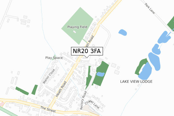
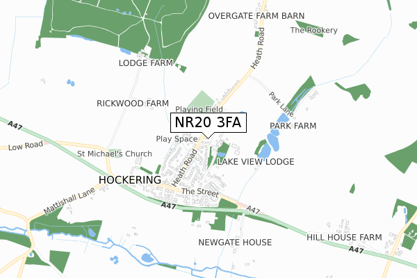
NR20 3FA is located in the Upper Wensum electoral ward, within the local authority district of Breckland and the English Parliamentary constituency of Mid Norfolk. The Sub Integrated Care Board (ICB) Location is NHS Norfolk and Waveney ICB - 26A and the police force is Norfolk. This postcode has been in use since December 2017.
NR20 3FA maps


Licence: Open Government Licence (requires attribution)
Attribution: Contains OS data © Crown copyright and database right 2025
Source: Open Postcode Geo
Licence: Open Government Licence (requires attribution)
Attribution: Contains OS data © Crown copyright and database right 2025; Contains Royal Mail data © Royal Mail copyright and database right 2025; Source: Office for National Statistics licensed under the Open Government Licence v.3.0
NR20 3FA geodata
| Easting | 607704 |
| Northing | 313309 |
| Latitude | 52.677676 |
| Longitude | 1.071015 |
Where is NR20 3FA?
| Country | England |
| Postcode District | NR20 |
Politics
| Ward | Upper Wensum |
|---|---|
| Constituency | Mid Norfolk |
House Prices
Sales of detached houses in NR20 3FA
2024 25 OCT £375,000 |
2024 23 AUG £387,000 |
2023 14 JUL £340,000 |
2022 19 MAY £347,000 |
2021 14 MAY £280,000 |
2018 10 SEP £284,995 |
2018 24 AUG £292,000 |
7, CANARY CLOSE, HOCKERING, DEREHAM, NR20 3FA 2018 13 JUL £349,995 |
2018 27 APR £284,995 |
3, CANARY CLOSE, HOCKERING, DEREHAM, NR20 3FA 2018 27 APR £349,995 |
Licence: Contains HM Land Registry data © Crown copyright and database right 2025. This data is licensed under the Open Government Licence v3.0.
Transport
Nearest bus stops to NR20 3FA
| Victoria (The Street) | Hockering | 354m |
| Victoria (The Street) | Hockering | 412m |
Broadband
Broadband access in NR20 3FA (2020 data)
| Percentage of properties with Next Generation Access | 100.0% |
| Percentage of properties with Superfast Broadband | 100.0% |
| Percentage of properties with Ultrafast Broadband | 0.0% |
| Percentage of properties with Full Fibre Broadband | 0.0% |
Superfast Broadband is between 30Mbps and 300Mbps
Ultrafast Broadband is > 300Mbps
Broadband speed in NR20 3FA (2019 data)
Download
| Median download speed | 40.0Mbps |
| Average download speed | 47.5Mbps |
| Maximum download speed | 80.00Mbps |
Upload
| Median upload speed | 10.0Mbps |
| Average upload speed | 10.3Mbps |
| Maximum upload speed | 19.53Mbps |
Broadband limitations in NR20 3FA (2020 data)
| Percentage of properties unable to receive 2Mbps | 0.0% |
| Percentage of properties unable to receive 5Mbps | 0.0% |
| Percentage of properties unable to receive 10Mbps | 0.0% |
| Percentage of properties unable to receive 30Mbps | 0.0% |
Deprivation
59.2% of English postcodes are less deprived than NR20 3FA:Food Standards Agency
Three nearest food hygiene ratings to NR20 3FA (metres)


➜ Get more ratings from the Food Standards Agency
Nearest post box to NR20 3FA
| Last Collection | |||
|---|---|---|---|
| Location | Mon-Fri | Sat | Distance |
| Rotton Row | 16:00 | 10:30 | 1,304m |
| Common Road | 16:00 | 10:00 | 2,024m |
| The School / Cross Roads | 17:15 | 10:30 | 2,807m |
NR20 3FA ITL and NR20 3FA LAU
The below table lists the International Territorial Level (ITL) codes (formerly Nomenclature of Territorial Units for Statistics (NUTS) codes) and Local Administrative Units (LAU) codes for NR20 3FA:
| ITL 1 Code | Name |
|---|---|
| TLH | East |
| ITL 2 Code | Name |
| TLH1 | East Anglia |
| ITL 3 Code | Name |
| TLH17 | Breckland and South Norfolk |
| LAU 1 Code | Name |
| E07000143 | Breckland |
NR20 3FA census areas
The below table lists the Census Output Area (OA), Lower Layer Super Output Area (LSOA), and Middle Layer Super Output Area (MSOA) for NR20 3FA:
| Code | Name | |
|---|---|---|
| OA | E00134566 | |
| LSOA | E01026481 | Breckland 006C |
| MSOA | E02005508 | Breckland 006 |
Nearest postcodes to NR20 3FA
| NR20 3TX | The Glebe | 117m |
| NR20 3HZ | Lily Avenue | 121m |
| NR20 3HX | Heath Road | 126m |
| NR20 3HY | Heath Road | 215m |
| NR20 3HW | Rectory Road | 219m |
| NR20 3HU | Manor Close | 242m |
| NR20 3HS | Bishop Herbert Close | 266m |
| NR20 3HR | Chapel Lane | 269m |
| NR20 3JA | Heath Road | 279m |
| NR20 3HT | Heath Road | 332m |