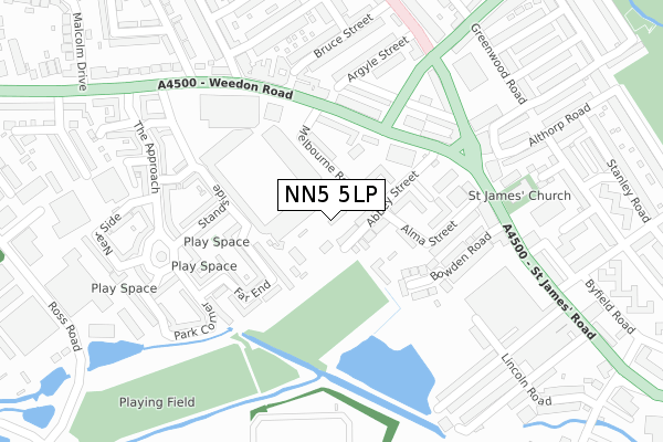
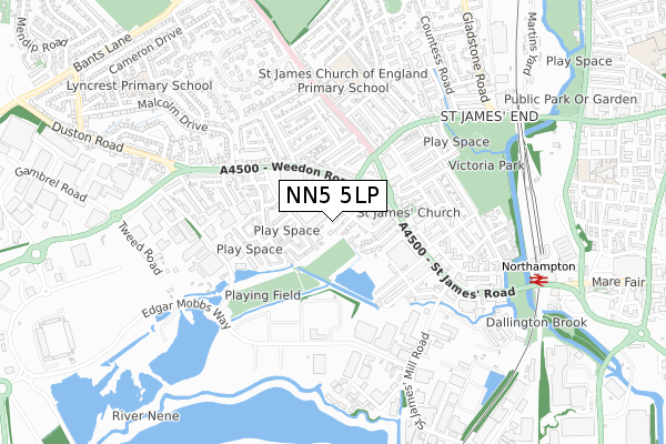
NN5 5LP is located in the Sixfields electoral ward, within the unitary authority of West Northamptonshire and the English Parliamentary constituency of Northampton South. The Sub Integrated Care Board (ICB) Location is NHS Northamptonshire ICB - 78H and the police force is Northamptonshire. This postcode has been in use since January 2019.


GetTheData
Source: OS Open Zoomstack (Ordnance Survey)
Licence: Open Government Licence (requires attribution)
Attribution: Contains OS data © Crown copyright and database right 2025
Source: Open Postcode Geo
Licence: Open Government Licence (requires attribution)
Attribution: Contains OS data © Crown copyright and database right 2025; Contains Royal Mail data © Royal Mail copyright and database right 2025; Source: Office for National Statistics licensed under the Open Government Licence v.3.0
| Easting | 473976 |
| Northing | 260643 |
| Latitude | 52.239031 |
| Longitude | -0.918069 |
GetTheData
Source: Open Postcode Geo
Licence: Open Government Licence
| Country | England |
| Postcode District | NN5 |
➜ See where NN5 is on a map ➜ Where is Northampton? | |
GetTheData
Source: Land Registry Price Paid Data
Licence: Open Government Licence
| Ward | Sixfields |
| Constituency | Northampton South |
GetTheData
Source: ONS Postcode Database
Licence: Open Government Licence
| Natwest Bank (St James Road) | St James End | 194m |
| Beacon Bingo (Weedon Road) | St James End | 206m |
| Natwest Bank (St James Road) | St James End | 237m |
| Natwest Bank (Harlestone Road) | St James End | 242m |
| Beacon Bingo (Weedon Road) | St James End | 242m |
| Northampton Station | 0.8km |
GetTheData
Source: NaPTAN
Licence: Open Government Licence
| Percentage of properties with Next Generation Access | 100.0% |
| Percentage of properties with Superfast Broadband | 100.0% |
| Percentage of properties with Ultrafast Broadband | 100.0% |
| Percentage of properties with Full Fibre Broadband | 0.0% |
Superfast Broadband is between 30Mbps and 300Mbps
Ultrafast Broadband is > 300Mbps
| Percentage of properties unable to receive 2Mbps | 0.0% |
| Percentage of properties unable to receive 5Mbps | 0.0% |
| Percentage of properties unable to receive 10Mbps | 0.0% |
| Percentage of properties unable to receive 30Mbps | 0.0% |
GetTheData
Source: Ofcom
Licence: Ofcom Terms of Use (requires attribution)
GetTheData
Source: ONS Postcode Database
Licence: Open Government Licence


➜ Get more ratings from the Food Standards Agency
GetTheData
Source: Food Standards Agency
Licence: FSA terms & conditions
| Last Collection | |||
|---|---|---|---|
| Location | Mon-Fri | Sat | Distance |
| St James End Tso | 17:30 | 12:00 | 192m |
| Glasgow Street | 17:30 | 12:15 | 263m |
| Harlestone Road | 17:30 | 11:30 | 415m |
GetTheData
Source: Dracos
Licence: Creative Commons Attribution-ShareAlike
| Risk of NN5 5LP flooding from rivers and sea | Low |
| ➜ NN5 5LP flood map | |
GetTheData
Source: Open Flood Risk by Postcode
Licence: Open Government Licence
The below table lists the International Territorial Level (ITL) codes (formerly Nomenclature of Territorial Units for Statistics (NUTS) codes) and Local Administrative Units (LAU) codes for NN5 5LP:
| ITL 1 Code | Name |
|---|---|
| TLF | East Midlands (England) |
| ITL 2 Code | Name |
| TLF2 | Leicestershire, Rutland and Northamptonshire |
| ITL 3 Code | Name |
| TLF24 | West Northamptonshire |
| LAU 1 Code | Name |
| E07000154 | Northampton |
GetTheData
Source: ONS Postcode Directory
Licence: Open Government Licence
The below table lists the Census Output Area (OA), Lower Layer Super Output Area (LSOA), and Middle Layer Super Output Area (MSOA) for NN5 5LP:
| Code | Name | |
|---|---|---|
| OA | E00138564 | |
| LSOA | E01027238 | Northampton 024D |
| MSOA | E02005673 | Northampton 024 |
GetTheData
Source: ONS Postcode Directory
Licence: Open Government Licence
| NN5 5LN | Abbey Street | 59m |
| NN5 5LL | Melbourne Road | 91m |
| NN5 5BE | Weedon Road | 170m |
| NN5 5LS | Alma Street | 173m |
| NN5 5FN | Far End | 176m |
| NN5 5LT | Bowden Road | 176m |
| NN5 5LQ | St James Road | 176m |
| NN5 5LH | Sandhill Road | 186m |
| NN5 5FG | Standside | 199m |
| NN5 5BG | Weedon Road | 207m |
GetTheData
Source: Open Postcode Geo; Land Registry Price Paid Data
Licence: Open Government Licence