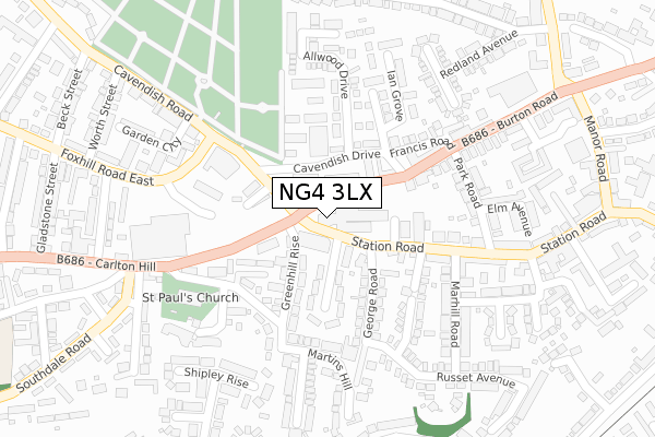
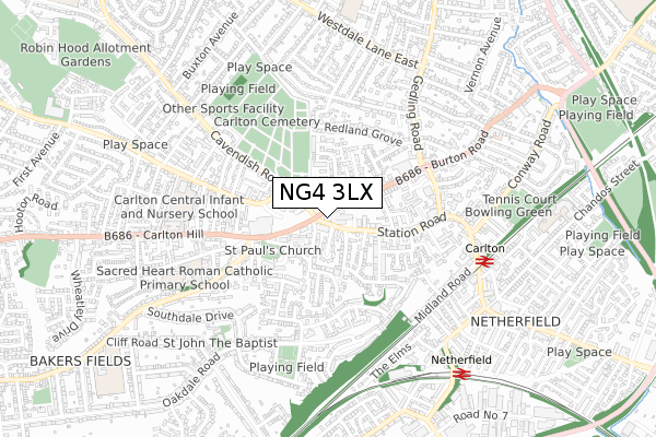
NG4 3LX is located in the Carlton electoral ward, within the local authority district of Gedling and the English Parliamentary constituency of Gedling. The Sub Integrated Care Board (ICB) Location is NHS Nottingham and Nottinghamshire ICB - 52R and the police force is Nottinghamshire. This postcode has been in use since May 2019.


GetTheData
Source: OS Open Zoomstack (Ordnance Survey)
Licence: Open Government Licence (requires attribution)
Attribution: Contains OS data © Crown copyright and database right 2025
Source: Open Postcode Geo
Licence: Open Government Licence (requires attribution)
Attribution: Contains OS data © Crown copyright and database right 2025; Contains Royal Mail data © Royal Mail copyright and database right 2025; Source: Office for National Statistics licensed under the Open Government Licence v.3.0
| Easting | 461404 |
| Northing | 341445 |
| Latitude | 52.966880 |
| Longitude | -1.087190 |
GetTheData
Source: Open Postcode Geo
Licence: Open Government Licence
| Country | England |
| Postcode District | NG4 |
➜ See where NG4 is on a map ➜ Where is Carlton? | |
GetTheData
Source: Land Registry Price Paid Data
Licence: Open Government Licence
| Ward | Carlton |
| Constituency | Gedling |
GetTheData
Source: ONS Postcode Database
Licence: Open Government Licence
| Carlton Square (Burton Road) | Carlton | 37m |
| Carlton Square (Burton Road) | Carlton | 56m |
| George Road (Station Road) | Carlton | 68m |
| Carlton Square (Cavendish Road) | Carlton | 85m |
| George Road (Station Road) | Carlton | 93m |
| Carlton Station | 0.6km |
| Netherfield Station | 0.8km |
| Burton Joyce Station | 3.6km |
GetTheData
Source: NaPTAN
Licence: Open Government Licence
GetTheData
Source: ONS Postcode Database
Licence: Open Government Licence


➜ Get more ratings from the Food Standards Agency
GetTheData
Source: Food Standards Agency
Licence: FSA terms & conditions
| Last Collection | |||
|---|---|---|---|
| Location | Mon-Fri | Sat | Distance |
| Carlton Post Office | 17:00 | 12:00 | 242m |
| Orchard Court | 17:30 | 12:00 | 269m |
| Bulcote House | 17:30 | 12:00 | 285m |
GetTheData
Source: Dracos
Licence: Creative Commons Attribution-ShareAlike
| Risk of NG4 3LX flooding from rivers and sea | Medium |
| ➜ NG4 3LX flood map | |
GetTheData
Source: Open Flood Risk by Postcode
Licence: Open Government Licence
The below table lists the International Territorial Level (ITL) codes (formerly Nomenclature of Territorial Units for Statistics (NUTS) codes) and Local Administrative Units (LAU) codes for NG4 3LX:
| ITL 1 Code | Name |
|---|---|
| TLF | East Midlands (England) |
| ITL 2 Code | Name |
| TLF1 | Derbyshire and Nottinghamshire |
| ITL 3 Code | Name |
| TLF16 | South Nottinghamshire |
| LAU 1 Code | Name |
| E07000173 | Gedling |
GetTheData
Source: ONS Postcode Directory
Licence: Open Government Licence
The below table lists the Census Output Area (OA), Lower Layer Super Output Area (LSOA), and Middle Layer Super Output Area (MSOA) for NG4 3LX:
| Code | Name | |
|---|---|---|
| OA | E00143463 | |
| LSOA | E01028158 | Gedling 014D |
| MSOA | E02005878 | Gedling 014 |
GetTheData
Source: ONS Postcode Directory
Licence: Open Government Licence
| NG4 3BP | Carlton Square | 59m |
| NG4 1SR | Greenhill Rise | 65m |
| NG4 3DT | Burton Road | 93m |
| NG4 3DX | Cavendish Drive | 111m |
| NG4 3AD | Walton Crescent | 125m |
| NG4 1BL | Greenhill Rise | 129m |
| NG4 1BE | Nairn Mews | 131m |
| NG4 3AG | Station Road | 143m |
| NG4 3AE | George Road | 155m |
| NG4 1BH | Church Walk | 169m |
GetTheData
Source: Open Postcode Geo; Land Registry Price Paid Data
Licence: Open Government Licence